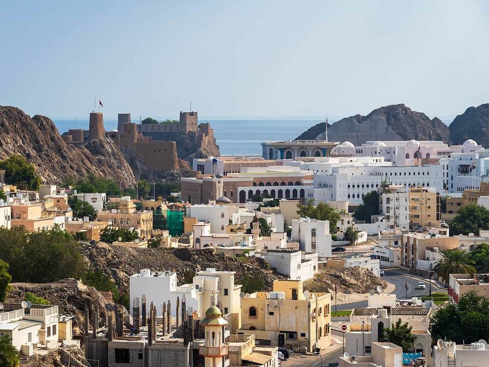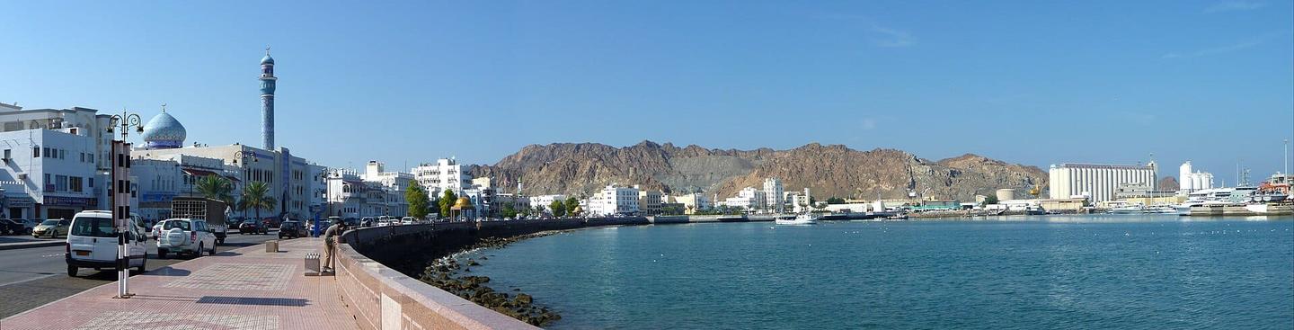
Road · Oman
Around Muscat
A hilly 154 km road cycling route from Muscat, Muhafazat Masqat through Madinat al Ilam, Wadi Adai and al Mahaj al Shamaliyah, with 1,620 m of climbing over Wadi Dayqah. Most of it (126.4 km) is on main roads without a cycle lane, 16.6 km where the limit is 80 km/h or more. There is a 36 km stretch without a café, shop or water (km 106–142).
At a glance
- Best for
- Long endurance days for confident riders at ease in traffic
- Distance
- 154 km
- Elevation gain
- 1,620 m
- Riding time
- 6–8½ hours
- Difficulty
- Hard
- Bike
- Road bike
- Surface
- Paved
- Traffic
- Mostly main roads
- Food & water
- Longest gap 36 km
- Best months
- Dec to Feb
- Navigation
- GPX download
- Start → finish
- Muscat
Map and elevation profile
Elevation profile
- 1,620 m
- 154 km
Route description
- Muscat
- Madinat al Ilam
- Wadi Adai
- al Mahaj al Shamaliyah
- Al Mahyul
- Muhaydith
- Shukayli
- Mazra‘ Sumayr
- Wadi Dayqah
This 154 km route begins in Muscat and passes through places including Madinat al Ilam (1.8 km), Qurum (8.1 km), Al Amerat (22.6 km), and more, ending back at Muscat. The route is fully paved and consists mainly of main and major roads, with 126.4 km on main roads without a cycle lane and 16.6 km on roads with speed limits of 80 km/h or more. The longest sections on named roads are 51.8 km on Muscat - Qurayyat - Sur Road and 33.6 km on Al Mazari Road.
Why ride this route?
- Climbs Wadi Dayqah (4.1 km at 5.1 %).
- Tops out at 384 m, 78.9 km in.
- A 9.1 km descent dropping 229 m.
Highlights
- Climbs reach up to 384 m height
- Longest descent of 9.1 km dropping 229 m
- Passes near Jabal Akhbar at 130 km
- Al Qurm natural Park near start
Along the route
Places passed
Climbs
| Climb | Starts at | On this ride | Full ascent | Top on this ride |
|---|---|---|---|---|
| Unnamed climb | 11.6 km | 2.1 km · 68 m · 3.2 % · max 6.9 % | — | 93 m |
| Unnamed climb | 73.4 km | 2.3 km · 56 m · 2.4 % · max 3.4 % | — | 310 m |
| Unnamed climb | 76 km | 2.2 km · 56 m · 2.6 % · max 4.3 % | — | 369 m |
| Unnamed climb | 90.9 km | 2.1 km · 55 m · 2.6 % · max 4.3 % | — | 196 m |
| Unnamed climb | 94 km | 2.7 km · 72 m · 2.7 % · max 7.3 % | — | 267 m |
| Unnamed climb | 106.5 km | 2.1 km · 68 m · 3.3 % · max 7.5 % | — | 119 m |
| Unnamed climb | 113.5 km | 1.8 km · 79 m · 4.4 % · max 9.1 % | — | 151 m |
| Unnamed climb | 119.4 km | 1.8 km · 45 m · 2.6 % · max 4.3 % | — | 197 m |
| Wadi Dayqah | 141.5 km | 4.5 km · 215 m · 4.8 % · max 8.5 % | 4.1 km · 207 m · 5.1 % | 253 m |
Wadi Dayqah · full ascent, starts at 141.5 km
< 4%4 – 7%7 – 10%> 10%
Traffic, surface and gradient
This is not a cycle-track route: 82% is on main roads without a cycle lane, 16.6 km of it where the limit is 80 km/h or more. Riders should be comfortable sharing the road with faster traffic.
- Roads
- 44% main road · 41% major road · 11% minor road · 4% quiet street
- Main roads
- 126.4 km on main roads without a cycle lane — likely busier
- Fast roads
- 16.6 km on roads with a limit of 80 km/h or more
- Main roads used
- Muscat - Qurayyat - Sur Road (52 km), Al Mazari Road (34 km)
- Surface
- Paved: 100% of the route is mapped as paved.
- Gradient
- 18% climbing · 18% descending · 64% flat
- Steep sections
- 5.9 km over 5% · 0.5 km over 8% · steepest 500 m averages 8.6% at 147.7 km
- Longest descent
- 9.1 km from 80.2 km, dropping 229 m
Food, water and services
The longest stretch without a café, shop or water is 36 km, from km 106 to 142. Along the route: 88 cafés and restaurants, 18 shops, 3 water points, 12 petrol stations and 6 public toilets.
Food, water and shops in ride order
- 0 kmCafé · 90 m off route
- 0 kmFree drinking filtered water · drinking water · 70 m off route
- 1.2 kmToilets · 100 m off route
- 4.1 kmAl Makhan · café · on the route
- 7.8 kmScientific Pharmacy · pharmacy · 100 m off route
- 10 kmCoffee Shop · café · 210 m off route
- 10.7 kmAl Maha · petrol station · 80 m off route
- 12.6 kmWholesale of Different Food Products · supermarket · 160 m off route
- 24.8 kmice shake · café · 200 m off route
- 26.4 kmAdLife Hospital · hospital · 120 m off route
- 33.2 kmToilets · 100 m off route
- 37 kmمخبز صحار · bakery · 160 m off route
- 52.3 kmمستشفى المسرة · clinic · 280 m off route
- 54.2 kmSupermarket · on the route
- 54.2 kmDrinking water · 80 m off route
- 87.3 kmConvenience store · 130 m off route
- 105.9 kmShell · petrol station · on the route
- 142.5 kmمطعم زهرة قريات · restaurant · 140 m off route
Worth a stop
- 0 km — Al Qurm natural Park (attraction)
- 6.1 km — Fun zone (attraction)
- 122.8 km — Wadi Dayqah Dam Overlook (viewpoint)
Start and access
At the start
- Water
- Free drinking filtered water (70 m)
- Food and coffee
- The jungle (100 m), Coffee Shop (380 m), Al Maida restaurant (250 m)
Know before you go
- Longest stretch with no café, shop or water: 35.7 km from km 105.9 to 141.6
- 126.4 km on main roads without cycle lanes
- 16.6 km on roads with 80 km/h speed limit or more