
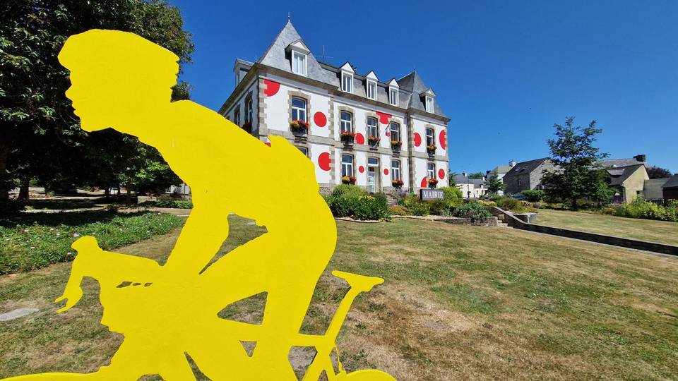
Mixed · France
A rolling 52 km road cycling loop from Saint-Nicolas des Eaux, Brittany through Kermaniec, Kerhouic and Kerbras, with 408 m of climbing.
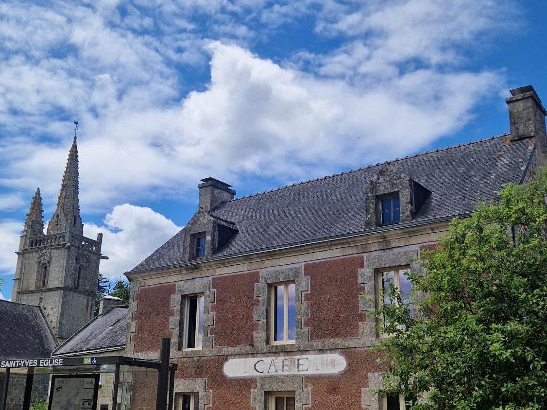
Starting from Plumeliau, the route immediately heads onto its first climb lasting 2.2 km, gaining 83 m at an average gradient of 3.9%, reaching a top height of 139 m around 2.6 km. The ride then continues mostly on minor roads (73% of the distance) with some main road sections totalling 9.5 km, including longest named roads D 23 (7.8 km), D 3 (6.5 km), D 2 (6.4 km), and D 327 (5.7 km). The surface is predominantly paved (97%) with only a short amount of gravel or unpaved roads (2%).
| Climb | Starts at | On this ride | Top on this ride |
|---|---|---|---|
| Unnamed climb | 0.4 km | 2.2 km · 83 m · 3.9 % · max 6.8 % | 139 m |
| Unnamed climb | 30.6 km | 2.2 km · 74 m · 3.4 % · max 6 % | 129 m |
| Unnamed climb | 48.8 km | 1.3 km · 43 m · 3.3 % · max 5.8 % | 108 m |
Mostly minor roads and streets on the map; 9.7 km is on main roads without a cycle lane.
No stretch is longer than 15 km without a café, shop or water. Along the route: 43 cafés and restaurants, 9 shops, 3 water points, 3 petrol stations, 10 public toilets and 1 bike shop.