
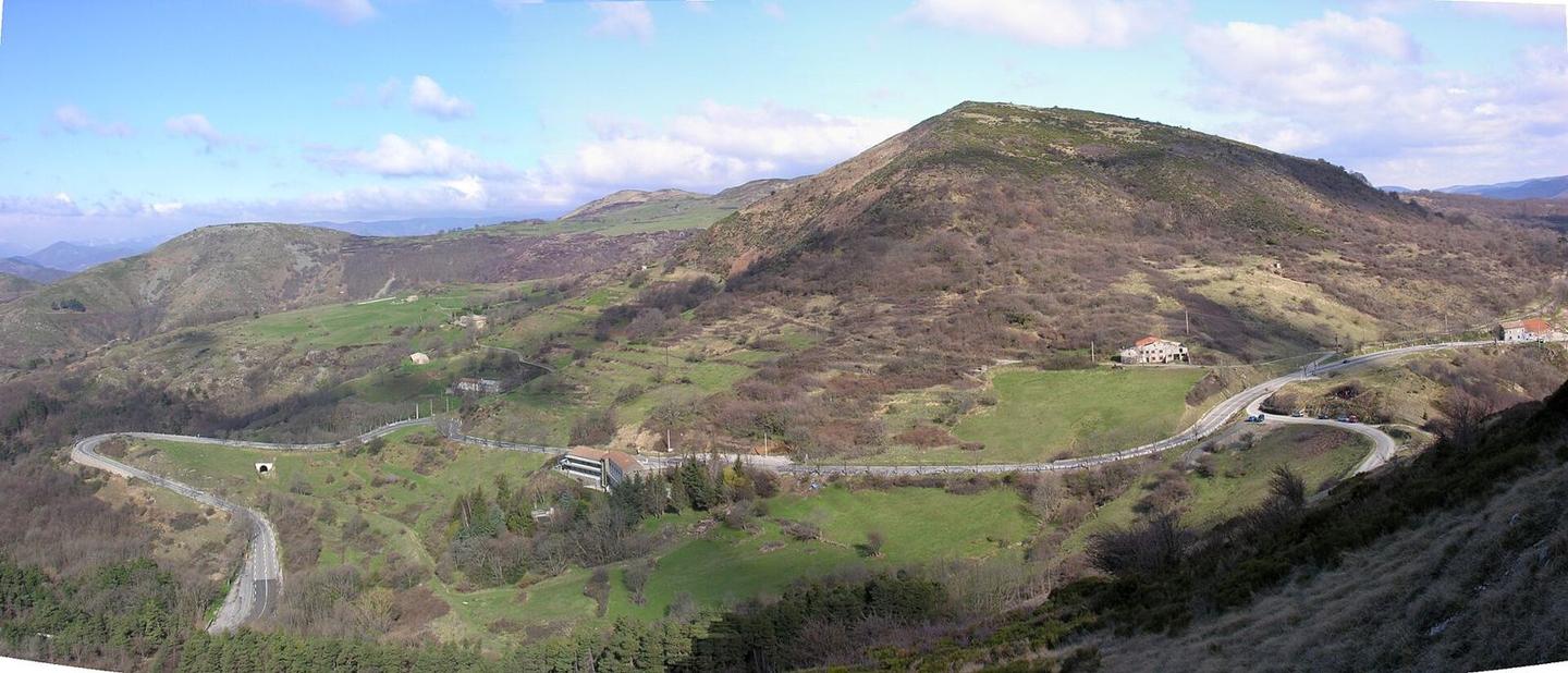
Col de l'Escrinet from Privas
- 12 km
- 491 m
- Easy
- Paved
Elevation profile
- 491 m
- 12 km
Route overview
Suitable for riders able to manage a steady 491 m climb over 11.9 km.
11.9 km climb from Privas to Col de l'Escrinet with 491 m elevation gain in France.
Starting from Privas at 306 m elevation, the route immediately begins climbing. The first 5.8 km ascend 232 m at an average gradient of 4%, maxing at 8.7%. The road is fully paved and mostly minor roads, including 4.7 km on Route de la Croix de Laÿ. After a short flat or gentle section, the second climb starts at 7.4 km and lasts 4.5 km, gaining 255 m at an average gradient of 5.7% with a max of 7.4%. The highest point reached is 786 m at 11.9 km. The road mix includes 78% minor roads, 10% quiet streets and 10% main roads, with 1.2 km on main roads lacking cycle lanes. Facilities cluster around the start. Privas has cafés, supermarkets, bike shops, water, toilets, bakeries and fuel stations within 0.5 km. From 3 km onwards there is an 8.9 km stretch without cafés, shops or water. No bailout points are indicated. The surface is fully paved throughout.
Highlights
- Climb to Col de l'Escrinet
- First climb averaging 4% gradient
- Route de la Croix de Laÿ road section
- Second climb averaging 5.7% gradient
Along the route
Climbs
| Climb | Starts at | Length | Gain | Average | Max | Top |
|---|---|---|---|---|---|---|
| Privas climb | 0.1 km | 5.8 km | 232 m | 4 % | 8.7 % | 539 m |
| Privas climb | 7.4 km | 4.5 km | 255 m | 5.7 % | 7.4 % | 786 m |
Privas climb · starts at 0.1 km
Privas climb · starts at 7.4 km
What this ride is like
- Roads
- 78% minor road · 10% quiet street · 10% main road
- Main roads
- 1.2 km on main roads without a cycle lane — likely busier
- Main roads used
- Route de la Croix de Laÿ (5 km)
- Surface
- Paved throughout
- Gradient
- 82% climbing · 1% descending · 18% flat
- Steep sections
- 5.1 km over 5% · 0.5 km over 8% · steepest 500 m averages 23.5% at 0 km
Along the way
Food, water and shops
- 0 kmMonoprix · supermarket · 100 m off route
- 0 kmDrinking water · on the route
- 0 kmToilets · 40 m off route
- 0 kmPharmacie Getto · pharmacy · 100 m off route
- 0.1 kmGrand Café du Champs de Mars · café · on the route
- 0.1 kmTotalEnergies · petrol station · on the route
- 0.5 kmL'Atelier Cycle · bike shop · 220 m off route
At the start
- Boulangerie Gensel · bakery · 20 m
- Grand Café du Champs de Mars · café · 100 m
- L'épicurieuse · café · 70 m
- Bruno Durand · bakery · 120 m
- Monoprix · supermarket · 100 m
Practical information
- Paved
- Point to point
- 51 min
Know before you go
- 8.9 km stretch with no café, shop or water from km 3
- 1.2 km on main roads without a cycle lane

