
Road · France
A mountainous 16 km road cycling route from Saint-Jean-de-Maurienne through La Combe, Le Chosalet and Saint-Pancrace, with 1,121 m of climbing over the Saint-Jean-de-Maurienne climb.
Starting in Saint-Jean-de-Maurienne at 566 m, the route climbs steadily 16.4 km to La Toussuire at 1686 m, gaining 1119 m at an average gradient of 7% and a max of 12.7%. The road surface is 96% paved with 4% on gravel or unpaved sections. The route is predominantly minor roads (55%) with 23% on main roads, including 3.8 km without cycle lanes, and also 18% on quiet streets plus 4% on paths.
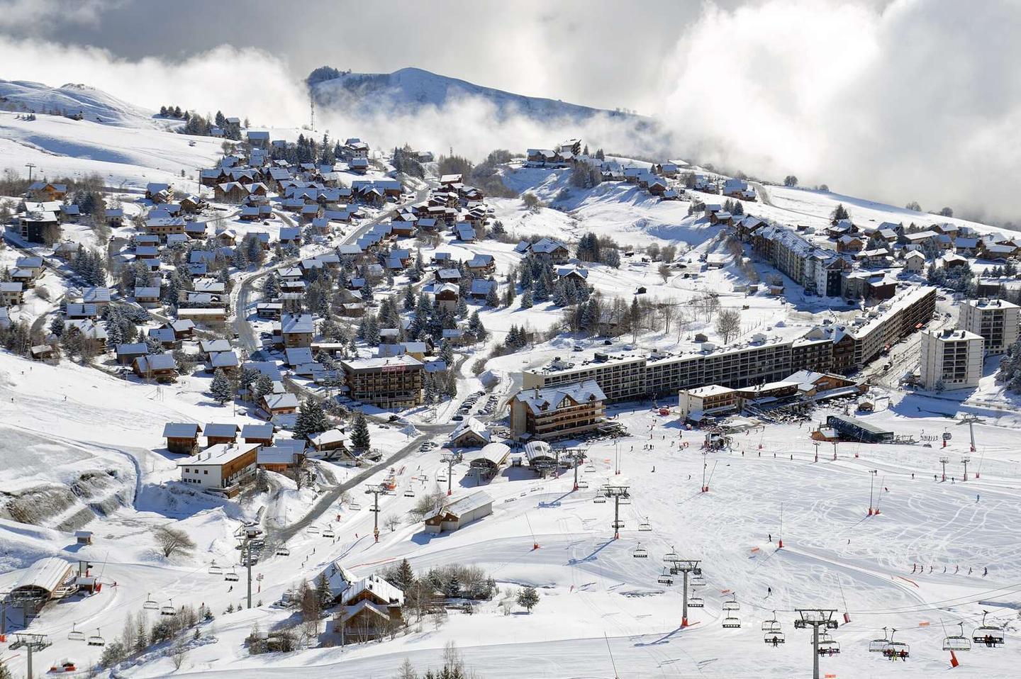
Settlements en route include La Combe at 2.5 km, Les Bottieres at 9.3 km, and Fontcouverte-la-Toussuire at 11.8 km, among others. Facilities near the start include cafés, bakeries, several supermarkets and bike shops in Saint-Jean-de-Maurienne. The longest stretch without cafés, shops or water is 8.2 km from 0.9 km to 9.1 km. Water points and toilets are available at 0.3 km and 10.5 km, plus various facilities at the finish in La Toussuire.
After leaving Saint-Jean-de-Maurienne, the climb quickly settles into a sustained gradient climbing almost continuously over 13 km with 5.6 km above 8% gradient and 1 km above 10%. The route crosses D 78 and D 78d roads. The peak Les 3 Croix lies near the road at 13.4 km. Toilets and food options are available at the start and finish.
| Climb | Starts at | On this ride | Full ascent | Top on this ride |
|---|---|---|---|---|
| Saint-Jean-de-Maurienne climb | 0.2 km | 16 km · 1119 m · 7 % · max 12.7 % | 16 km · 1119 m · 7 % | 1686 m |