Cyclists.com

Orcières-Merlette from Saint-Jean-Saint-Nicolas

Saint-Jean-Saint-Nicolas, FranceRoad

Routed from the map This classic road was traced on OpenStreetMap and measured against the terrain model; no member has recorded it yet. Ridden it? Add your recording and photos.

14 km
Distance
702 m
Elevation gain
Moderate
Difficulty
Paved
Surface

Elevation profile

Total ascent
702 m
Distance
14 km
Elevation (m)05001,0001,5002,0000 km5 km10 km14 kmHighest point1,825 m at 14.3 kmStart0 kmFinish14 km

Route overview

Riders looking for a short but steady climb with significant elevation gain.

14.3 km climb from Saint-Jean-Saint-Nicolas to Orcières-Merlette, gaining 702 m on mainly paved roads.

Starting from Saint-Jean-Saint-Nicolas at 1122 m, the route quickly climbs through a 2 km section gaining 45 m at an average 2.4% gradient. The main part of the ride is a steep 8.7 km climb averaging 7.3% with a max gradient of 20.1%, rising past 1820 m to Orcières-Merlette. The highest point is reached at the 14.3 km finish at 1824 m. The surface is mostly paved (91%) with some 8% gravel or unpaved from km 12. Most of the route (73%) is on main roads, including 8.7 km on the D 944, with 10.4 km on main roads lacking cycle lanes and 6.8 km posted at 80 km/h or more. There is a 5.3 km stretch from km 3.9 to 9.2 without cafés, shops or water. Facilities at the start include a bakery, bar and restaurants, plus drinking water, and near the finish there are cafés, restaurants, a pharmacy, a convenience store and toilets. The climb gains most height in the second half (57%) after a modest start. The gradient profile includes 5.3 km above 5%, 2.7 km above 8%, and 1.8 km above 10%. The route crosses minor roads, quiet streets and paths along the way. Toilets are available at km 1.5, 9.2, and 14.3, with convenience stores near km 1.4 and 10.6 and a petrol station at 9.2 km for resupply if needed.

Highlights

  • Steep 8.7 km climb averaging 7.3%
  • Max gradient 20.1%
  • Finish at 1824 m altitude
  • Located on the D 944 main road

Along the route

Measured from the recorded track and OpenStreetMap.

Climbs

ClimbStarts atLengthGainAverageMaxTop
2.8 km1.9 km45 m2.4 %4.1 %1189 m
Saint-Jean-Saint-Nicolas climb5.5 km8.7 km639 m7.3 %20.1 %1824 m

High point 1824 m at 14.3 km; low point 1122 m.

Saint-Jean-Saint-Nicolas climb · starts at 5.5 km

8.7 km at 7.3% · 639 m
1200130014001500160017001800ELEVATION (M)4.4%3.9%5.9%15%9.2%14%4.3%0 km123456788.7 kmDISTANCE (KM)Saint-Jean-Saint-Nicolas climb · 1,823 mSTEEPEST 14.6%
< 4%4 – 7%7 – 10%> 10%

What this ride is like

Measured from OpenStreetMap along the track and the elevation profile.

Roads
73% main road · 9% minor road · 8% quiet street · 8% path
Main roads
10.4 km on main roads without a cycle lane — likely busier
Fast roads
6.8 km on roads with a limit of 80 km/h or more
Main roads used
D 944 (9 km)
Surface
Paved throughout
Gradient
75% climbing · 8% descending · 17% flat
Steep sections
5.3 km over 5% · 2.7 km over 8% · 1.8 km over 10%

Along the way

Within a few hundred metres of the track, from OpenStreetMap. Opening hours change — treat this as where to look, not a promise.

Food, water and shops

  1. 1.2 kmPharmacie Signouret · pharmacy · on the route
  2. 1.3 kmPâtisserie Ricou · bakery · on the route
  3. 1.3 kmFontaine verte · drinking water · 70 m off route
  4. 1.4 kmVival · convenience store · on the route
  5. 1.5 kmToilets · on the route
  6. 9.2 kmToilets · 30 m off route
  7. 9.2 kmTotal Orcières · petrol station · on the route
  8. 9.7 kmSnack et glaces · ice cream · 290 m off route
  9. 10.6 kmVival · convenience store · on the route
  10. 13.9 kmDrinking water · 240 m off route
  11. 14.1 kmboulangerie Ricou · bakery · 120 m off route
  12. 14.2 kmPara & Pharmacie d'Orcières 1850 · pharmacy · 40 m off route
  13. 14.3 kmToilets · 40 m off route

Worth a stop

  • 1.7 kmManoir de Prégentil (castle)

At the start

  • Pâtisserie Ricou · bakery · 970 m
  • Fontaine verte · drinking water · 950 m
  • Les Voûtes · bar · 990 m
  • Le Bistrot du Drac · restaurant · 980 m
  • La Popote · restaurant · 770 m

At the finish

  • boulangerie Ricou · bakery · 150 m
  • Para & Pharmacie d'Orcières 1850 · pharmacy · 110 m
  • Cafe Merlettois · café · 200 m
  • Le Cabrin · restaurant · 70 m
  • Proxi - Carrefour · convenience store · 80 m

Stay after this ride

  • Hôtel Les Gardettes · hotel · 220 m from the finish
  • le relais de merlette · hotel · 630 m from the finish
  • Odalys - Rochebrune Les Cimes · apartment · 410 m from the finish
  • Gîte du Bois de l'Ours · guest house · 950 m from the finish
  • Lou Draou · campsite · 1.8 km from the finish

Practical information

Surface
Paved
Route shape
Point to point
Riding time
1 h 01 min

Know before you go

  • 10.4 km on main roads without cycle lanes
  • 6.8 km on roads with 80 km/h speed limit
  • 5.3 km without café, shop or water from km 3.9 to 9.2
  • 8% gravel or unpaved surface from km 12

Routes are for inspiration. Roads, surfaces and conditions change — check locally and ride within your limits.

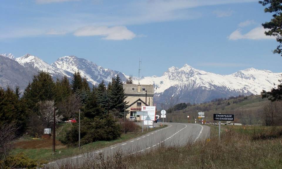
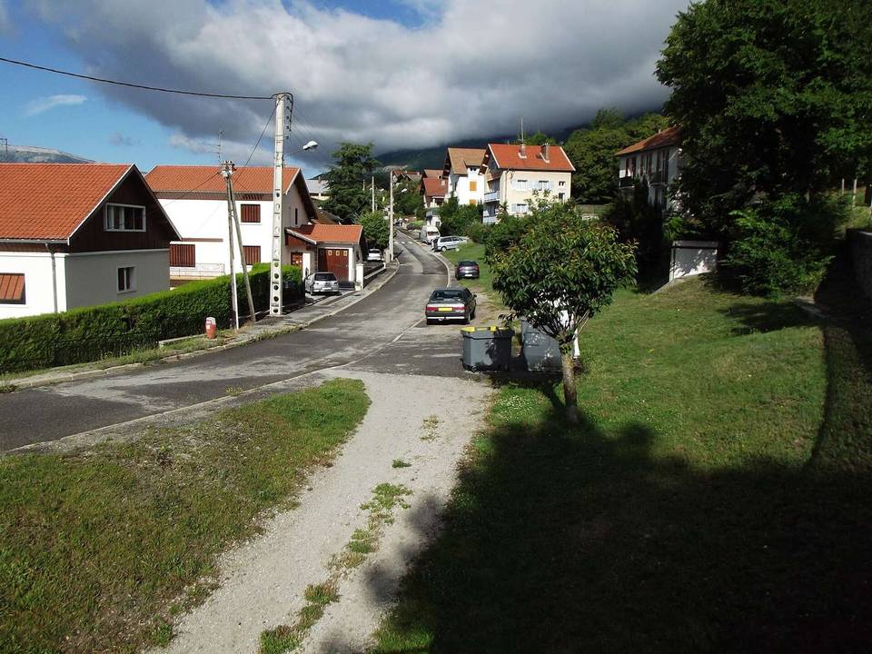
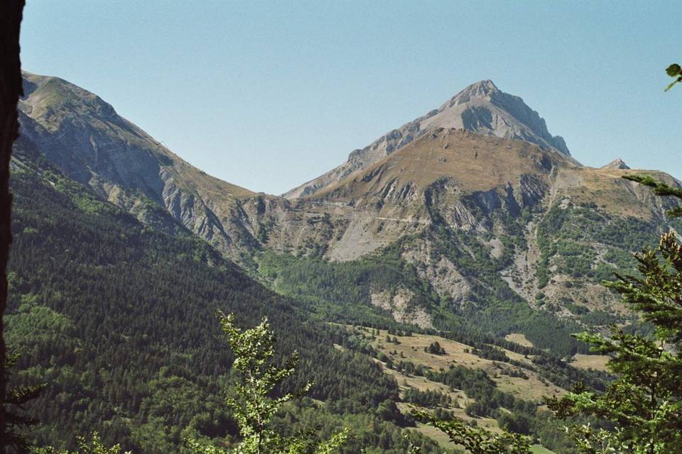
2 photographs from the road

Photo: Guillaume La Sala · CC BY-SA 4.0 · Wikimedia Commons · Photo: Nirv75 · CC BY-SA 4.0 · Wikimedia Commons