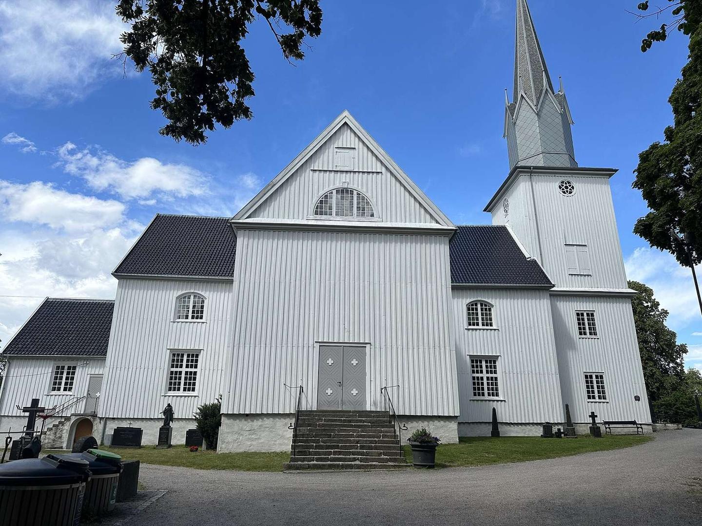
Road · Norway
Sandefjord – Tjome
A rolling 26 km road cycling loop from Sandefjord, Vestfold through Breidablikk, Sverstad and Helgerød, with 179 m of climbing.
At a glance
- Best for
- Rolling day rides
- Distance
- 25.9 km
- Elevation gain
- 179 m
- Riding time
- 1–1½ hours
- Difficulty
- Easy
- Bike
- Road bike
- Surface
- Paved
- Traffic
- Mostly minor roads
- Food & water
- Regular
- Navigation
- GPX download
- Start and finish
- Sandefjord
Map and elevation profile
Elevation profile
- 179 m
- 26 km
Route description
- Sandefjord
- Breidablikk
- Sverstad
- Helgerød
- York
- Sjuve
- Kastetskogen
- Kamfjord
- Bugården
- Sandefjord
This 25.9 km loop starts and finishes in Sandefjord, passing through Breidablikk, Sverstad, Freberg, Helgerød and York before reaching Revebåsen at 13.3 km. The route continues through Sjuve, Lahelle and Kastetskogen then follows past Kamfjord, Gokstad and back into Sandefjord via Bugården and Mosserød.
The elevation ranges from 2 m to 92 m, with a total gain of 179 m. Climbing is gentle overall, mostly below 5%, but includes a 1.5 km ascent starting at 22.2 km gaining 70 m at an average 4.7% gradient, peaking at 91 m. The longest descent is 1.9 km and drops 35 m early in the route. About 61% of the route is flat.
The surface is 96% paved with no gravel, and the route mainly uses minor roads (44%) and cycle paths (25%), with some quiet streets (15%) and 2 km on main roads without cycle lanes. The longest named road ridden is Årøveien for 7.3 km. There is a 14.2 km stretch without any café, shop or water from 4.3 km to 18.5 km. Shops, fuel, toilets and a café are clustered near Sandefjord toward the end. There are two bailout points: a ferry at Engø (8.2 km) and the Sandefjord train station (22.5 km).
Highlights
- Climb at 22.2 km: 1.5km at 4.7% avg gradient
- Longest descent 1.9 km dropping 35 m
- Passes Gokstadhaugen archaeological site at 4.3 km
- Longest stretch without food or water 14.2 km
Along the route
Places passed
Climbs
| Climb | Starts at | On this ride | Top on this ride |
|---|---|---|---|
| Unnamed climb | 22.2 km | 1.5 km · 70 m · 4.7 % · max 6.9 % | 91 m |
Traffic, surface and gradient
Mostly minor roads and streets on the map; 2 km is on main roads without a cycle lane.
- Roads
- 44% minor road · 25% cycle path · 15% quiet street · 8% main road · 8% other roads and tracks
- Main roads
- 2 km on main roads without a cycle lane — likely busier
- Cycle paths
- 7 km on cycle paths or roads with a cycle lane
- Main roads used
- Årøveien (7 km)
- Surface
- Paved: 96% of the route is mapped as paved and 4% has no surface data.
- Gradient
- 19% climbing · 20% descending · 61% flat
- Steep sections
- 0.7 km over 5% · steepest 500 m averages 6.4% at 23.2 km
Food, water and services
No stretch is longer than 15 km without a café, shop or water. Along the route: 10 cafés and restaurants, 11 shops, 1 water point, 1 petrol station and 1 public toilet.
Food, water and shops in ride order
- 3.5 kmExtra Haslebakken · supermarket · on the route
- 3.5 kmVitusapotek Sandefjord · pharmacy · on the route
- 4.3 kmWater point · on the route
- 18.5 kmJoker Gjekstad · supermarket · 40 m off route
- 21.1 kmAutomat1 Sandefjord · petrol station · 70 m off route
- 22.2 kmIvar Halvorsen · café · 170 m off route
- 22.2 kmApotek 1 Hvalen Sandefjord · pharmacy · 380 m off route
- 22.5 kmToilets · 210 m off route
- 23.8 kmExtra Mosserød · supermarket · 390 m off route
Need to bail out?
- 8.2 km — Engø (ferry), 700 m off route
- 22.5 km — Sandefjord (station), 190 m off route
Worth a stop
- 4.3 km — Gokstadhaugen (archaeological site)
Know before you go
- 14.2 km without café, shop or water (4.3 km to 18.5 km)
- 2 km on main roads without cycle lane