
Al Fujayrah to Al Buraymi
- 132 km
- 1,398 m
- Hard
- Mixed
Elevation profile
- 1,398 m
- 132 km
Route overview
Cyclists prepared for a long 132 km ride with 1398 m of climbing mainly in the first half.
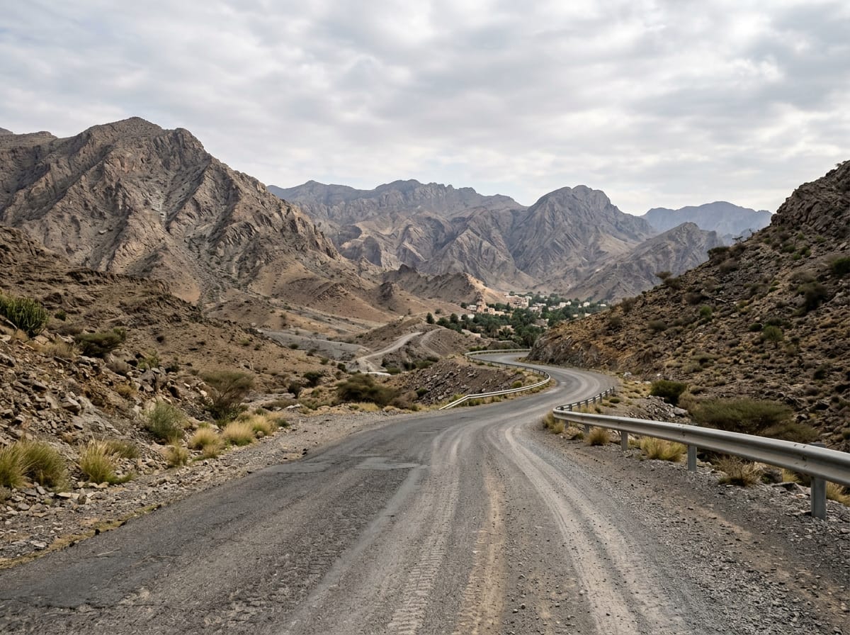
132 km mountain cycling route in the Hajar Mountains, UAE and Oman, starting and finishing at Sha'biyyat Milāḩ.
Starting from Sha'biyyat Milāḩ, the route heads east passing through Huwaylat at 8.7 km, reaching Suhaylah at 22.9 km and Ad Daymaniyah at 32.4 km before arriving at Al Khalw at 46.6 km. The route features climbing predominantly in the first half, with a total elevation gain of 1398 m. Key climbs include a 5.8 km climb starting at 9 km with an average gradient of 3.3% reaching 408 m elevation, and several shorter climbs including one reaching 663 m at 55.9 km. Road surfaces are mostly paved (83%) but include 16% gravel or unpaved sections. The roads consist of 59% main road, 22% minor road, and some track and quiet street sections. Notably, 75.3 km is on main roads, with 94.7 km without a cycle lane and 3.3 km on roads with speed limits of 80 km/h or more. The route crosses from the UAE into Oman and back. Towns passed in Oman include Rayy (53.2 km), Ash Shuwayhah (69.7 km), Al Karbī ash Sharqīyah (86.4 km), Al Karbi (90.4 km), Sayh ad Damaniyyah (96.7 km), and Al Wajajah (100.4 km). There is a stretch of 21.7 km without a cafe, shop, or water between 26.7 km and 48.4 km. Available facilities include petrol stations at 26.7 km, 101.9 km, and 120 km, a cafe at 20.4 km (off-route 280 m), and water access points at 48.4 km, 53.2 km, 69.7 km, and 88.1 km. The route reaches its highest point at 665 m at 72.3 km, beneath Jabal Ruwayshid at 106.6 km and near Jabal Rihab at 28.3 km. The longest descent is 5.9 km starting from 116.8 km, dropping 174 m. The ride is suited to those ready for a long distance with moderate climbing, mainly uphill in the first half. Recorded temperatures are 30°C in November.
Highlights
- Climb to 663 m peak at 55.9 km
- Viewpoint near 66.3 km
- Jabal Rihab mountain at 28.3 km
- Hatta sign attraction at 104 km
Along the route
Places passed· crosses into Oman
Climbs
| Climb | Starts at | Length | Gain | Average | Max | Top |
|---|---|---|---|---|---|---|
| As Simsimānīyah climb | 9 km | 5.8 km | 189 m | 3.3 % | 9.5 % | 408 m |
| — | 39.4 km | 3.1 km | 78 m | 2.6 % | 6.5 % | 405 m |
| — | 47.9 km | 2.5 km | 104 m | 4.1 % | 9.7 % | 546 m |
| — | 51.6 km | 4.3 km | 148 m | 3.5 % | 10.6 % | 663 m |
| — | 64.1 km | 4.2 km | 98 m | 2.3 % | 4.8 % | 598 m |
| — | 109.4 km | 2.5 km | 74 m | 2.9 % | 6.7 % | 376 m |
As Simsimānīyah climb · starts at 8.9 km
What this ride is like
- Roads
- 59% main road · 22% minor road · 15% major road · 2% quiet street
- Main roads
- 94.7 km on main roads without a cycle lane — likely busier
- Fast roads
- 3.3 km on roads with a limit of 80 km/h or more
- Main roads used
- Al Saf-Al Shuwaiha Road (50 km), E44 (11 km), Al Aqar - Al Wajajah - Al Rawdah Road (7 km)
- Surface
- 83% paved · 16% gravel or unpaved
- Gradient
- 28% climbing · 28% descending · 44% flat
- Steep sections
- 3.4 km over 5% · 0.9 km over 8% · steepest 500 m averages 16.7% at 0 km
- Longest descent
- 5.9 km from 116.8 km, dropping 174 m
Along the way
Longest stretch without a café, shop or water: 22 km, from 27 km to 48 km.
Food, water and shops
- 20.4 kmJuicy Fruity · café · 280 m off route
- 20.4 kmToilets · 280 m off route
- 26.7 kmAl Maha · petrol station · on the route
- 48.4 kmSpring · 30 m off route
- 53.2 kmDrinking water · 110 m off route
- 69.7 kmDrinking water · on the route
- 88.1 kmDrinking water · on the route
- 101.9 kmShell · petrol station · on the route
- 108.3 kmHatta Wild Cafe · café · 300 m off route
- 108.3 kmBike shop · 290 m off route
- 120 kmADNOC · petrol station · 50 m off route
- 120.2 kmnaseem al howailat · supermarket · 90 m off route
Worth a stop
- 66.3 km — View (viewpoint)
- 104 km — Hatta sign (attraction)
Practical information
- Mixed
- Out & back
- 5½–8 hours riding
- Nov
Know before you go
- 21.7 km without café, shop or water from 26.7 km
- 94.7 km on main roads without cycle lanes
- 3.3 km on roads with speed limits 80 km/h or more
- 16% gravel or unpaved sections