
Adh Dhayd – Al Fujayrah via Esfini
- 85 km
- 470 m
- Moderate
- Paved
Elevation profile
- 470 m
- 85 km
Route overview
Suitable for riders comfortable with a moderate 85 km distance and 470 m elevation gain.
84.9 km loop route in Hajar Mountains UAE starting and ending at Shawka with 470 m climbing.
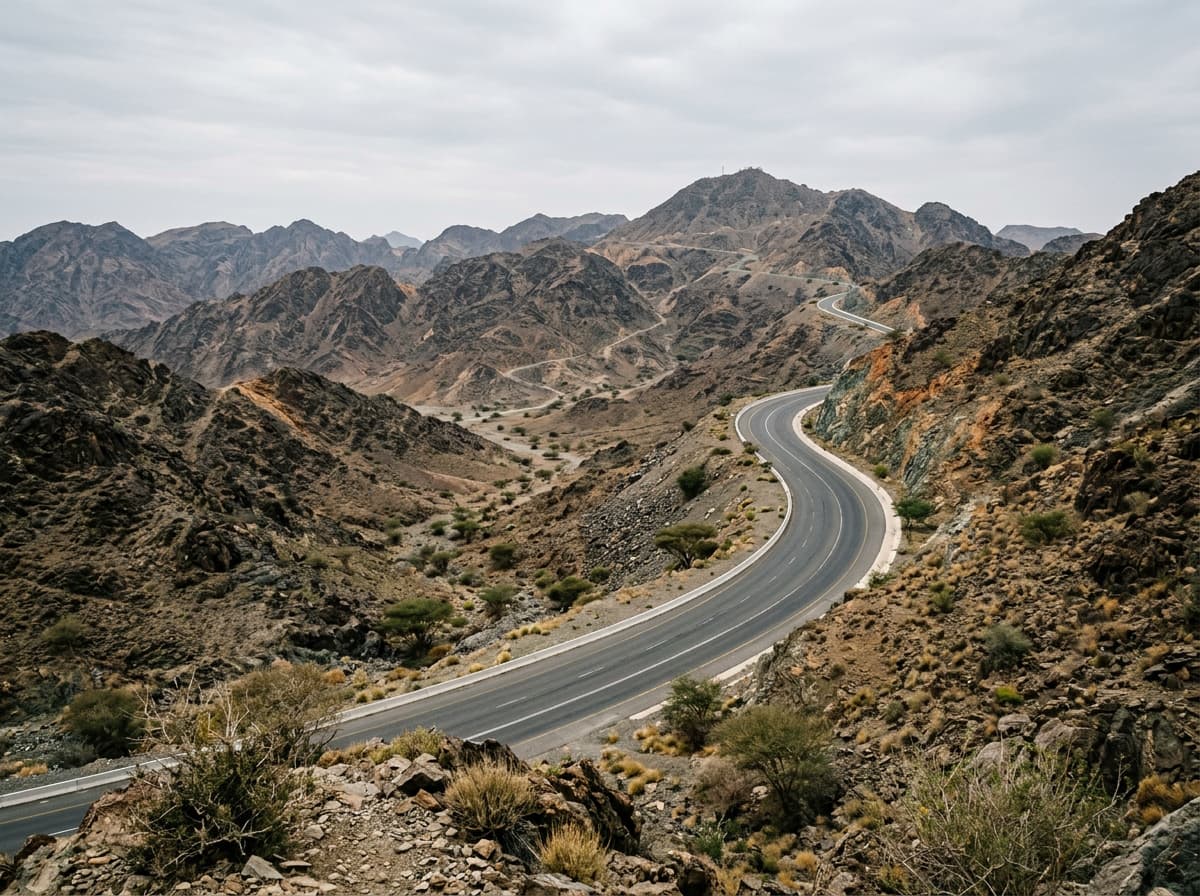
Starting at Shawka (km 1.9), the route heads through Esfini at 31.8 km and Rima at 34.4 km. Mamduh is shortly after Rima at 36 km. The climb begins around 45.7 km, lasting 2.9 km with a 72 m gain averaging 2.5%, peaking at 481 m near km 48.6. The road descends for nearly 4.8 km after the climb, dropping 87 m. The terrain is mostly flat or gently rolling, with the route descending and climbing about equally (14% each).
Highlights
- Climb near km 45.7 to 48.6
- Peak nearby: Jabal Gharib at 578 m
- Longest descent of 4.8 km after climb
- Route passes Esfini and Rima
Along the route
Places passed
Climbs
| Climb | Starts at | Length | Gain | Average | Max | Top |
|---|---|---|---|---|---|---|
| — | 45.7 km | 2.9 km | 72 m | 2.5 % | 4.8 % | 481 m |
What this ride is like
- Roads
- 83% main road · 7% minor road · 4% motorway · 3% track
- Main roads
- 73 km on main roads without a cycle lane — likely busier
- Fast roads
- 33.3 km on roads with a limit of 80 km/h or more
- Surface
- Paved throughout
- Gradient
- 14% climbing · 14% descending · 72% flat
- Longest descent
- 4.8 km from 51.1 km, dropping 87 m
Along the way
Longest stretch without a café, shop or water: 50 km, from 32 km to 82 km.
Food, water and shops
- 1.5 kmRestaurant · 60 m off route
- 2 kmWadi al meqaitei · convenience store · on the route
- 2 kmDrinking water · on the route
- 19.4 kmKadrah Health Center · clinic · 60 m off route
- 32 kmConvenience store · 70 m off route
- 59.4 kmHospital · 150 m off route
- 82.1 kmRestaurant · 50 m off route
- 83.5 kmShowka Bicycles · bike shop · 450 m off route
At the start and finish
- Showka Bicycles · bike shop · 580 m
Practical information
- Paved
- Loop
- 2½–3½ hours riding
- May, September, November with temperatures between 22 and 33 °C.
Know before you go
- 49.8 km without café, shop or water from km 32.3 to 82.1
- 73 km on main roads without cycle lanes
- 33.3 km on roads with speed limits over 80 km/h
- 3% gravel or unpaved surface