Mixed · Cambodia
A flat 46 km mixed-surface cycling loop from Krous through Siem Reap, with 79 m of climbing. Mixed surface: 31% is mapped as paved and 31% as gravel or unpaved and 38% has no surface data.
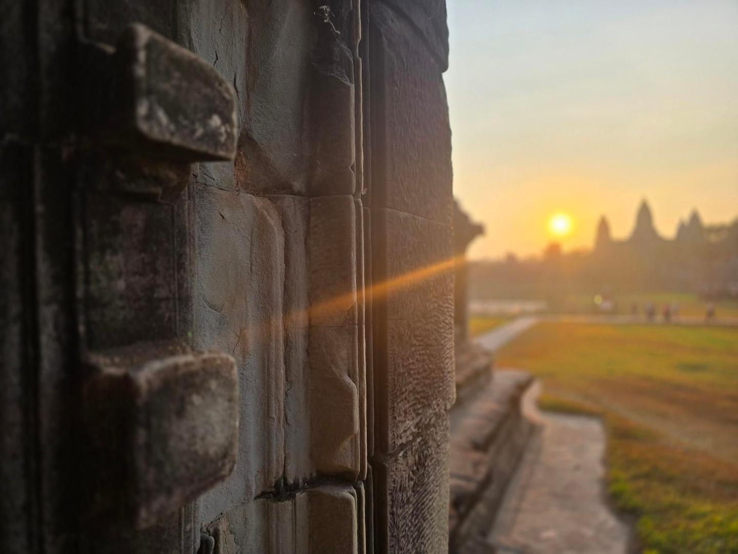
The ride starts at Krous and soon passes Siem Reap at 3.7 km. It forms a loop around the heritage park with an elevation ranging from 16 m to 57 m, mostly flat with only 4% climbing. The road surfaces include 31% paved and 31% gravel or unpaved, and the ride uses a mix of paths (32%), quiet streets (22%), minor roads, tracks, and small sections of main road and cycle lanes.
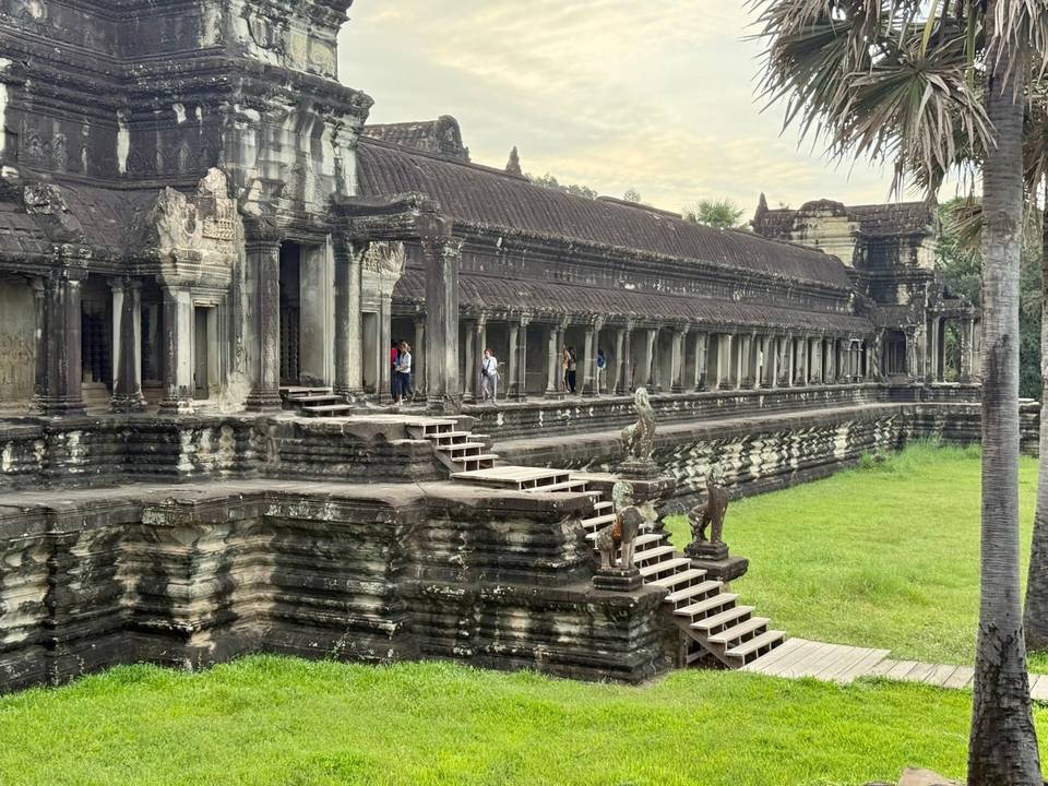
Facilities near the route include cafés and shops at the start and finish in Siem Reap, such as Jasmine Bakery & Coffee, supermarkets and other eateries. Water points and toilets are scattered along the way but there is a long 16.3 km stretch from 15.5 km to 31.8 km without cafés, shops or water. Some places of interest near the route include the South Gate and Pre Rup ruins, and Bakheng Hill closely past 38 km.
The road is low elevation with no major climbs, making it accessible. There is a mix of surfaces including gravel and unmapped sections accounting for 38% of the route, so tyres should be suitable. Cycle paths or lanes account for 1.4 km but most of the route is on minor roads or paths.
Mostly minor roads and streets on the map.
The longest stretch without a café, shop or water is 16 km, from km 16 to 32. Along the route: 634 cafés and restaurants, 79 shops, 4 water points, 3 petrol stations, 22 public toilets and 35 bike shops.