Mixed · Cambodia
A flat 78 km gravel loop from Siem Reap through Svay Thom, Lolei and Prasat Bakong, with 18 m of climbing. There is a 25 km stretch without a café, shop or water (km 43–68). Mixed surface: 52% is mapped as paved and 41% as gravel or unpaved and 7% has no surface data.
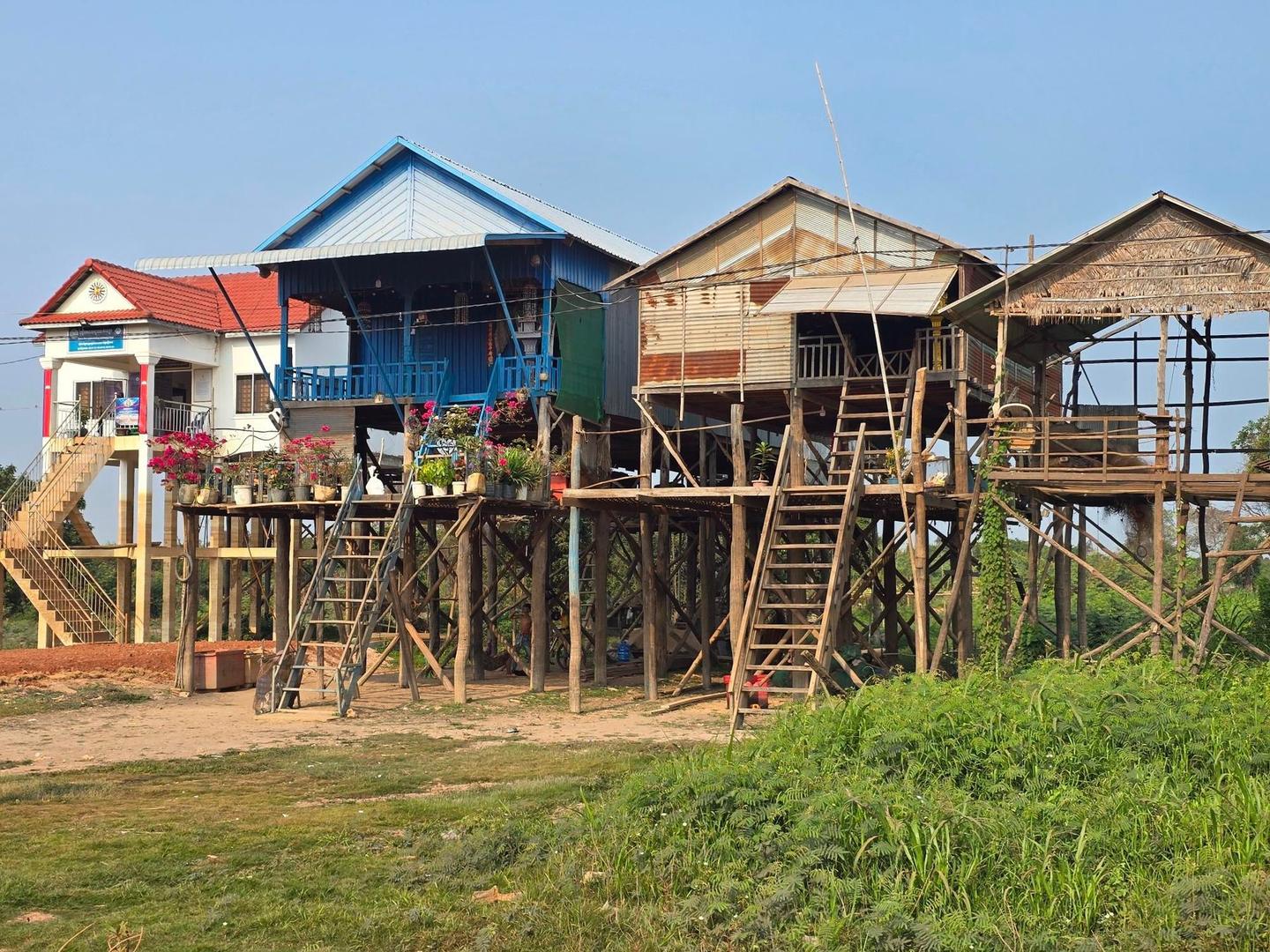
This 78km loop ride starts and ends in Siem Reap, passing places such as Svay Thom (14.2 km), Lolei (20.5 km), Prasat Bakong (23 km), and Kampong Phluk (44.3 km). The route remains largely flat, with the highest point at 19m near the finish and the lowest at 1m around midway. Climbing is negligible, making it mostly flat terrain.
The surface is mixed, with 52% paved, 41% gravel or unpaved, and 7% unmapped. Road types include 59% minor roads, 17% major roads, 14% quiet streets, and 4% main roads, with 15.7 km on main roads without cycle lanes. The route follows named roads such as National Highway 6 for 8.4 km, road 206 for 7 km, and Krovat Krong Road for 4.4 km.
Facilities at the start and finish include cafes, bike shops, supermarkets, and restaurants. Along the route, there are multiple shops, petrol stations, bike shops, and cafes, though the longest stretch without café, shop, or water is 24.7 km between 43.1 and 67.8 km. Bailout points include ferries at 43.4 km and 53.4 km.
Expect stretches on main roads without a cycle lane (15.7 km in all) between quieter sections.
The longest stretch without a café, shop or water is 25 km, from km 43 to 68. Along the route: 604 cafés and restaurants, 69 shops, 34 petrol stations, 6 public toilets and 39 bike shops.