
Cyclists.com

Cauberg from Valkenburg

Valkenburg, NetherlandsRoad

Routed from the map This classic road was traced on OpenStreetMap and measured against the terrain model; no member has recorded it yet. Ridden it? Add your recording and photos.

1 km
Distance
50 m
Elevation gain
Easy
Difficulty
Paved
Surface

Elevation profile

Total ascent
50 m
Distance
1 km
Elevation (m)02550751001251500 km0.2 km0.4 km0.6 km1 kmHighest point123 m at 0.8 kmStart0 kmFinish1 km

Route overview

This route suits riders seeking a very short steep climb with moderate elevation gain.

Short steep climb from Valkenburg to Cauberg, Netherlands.

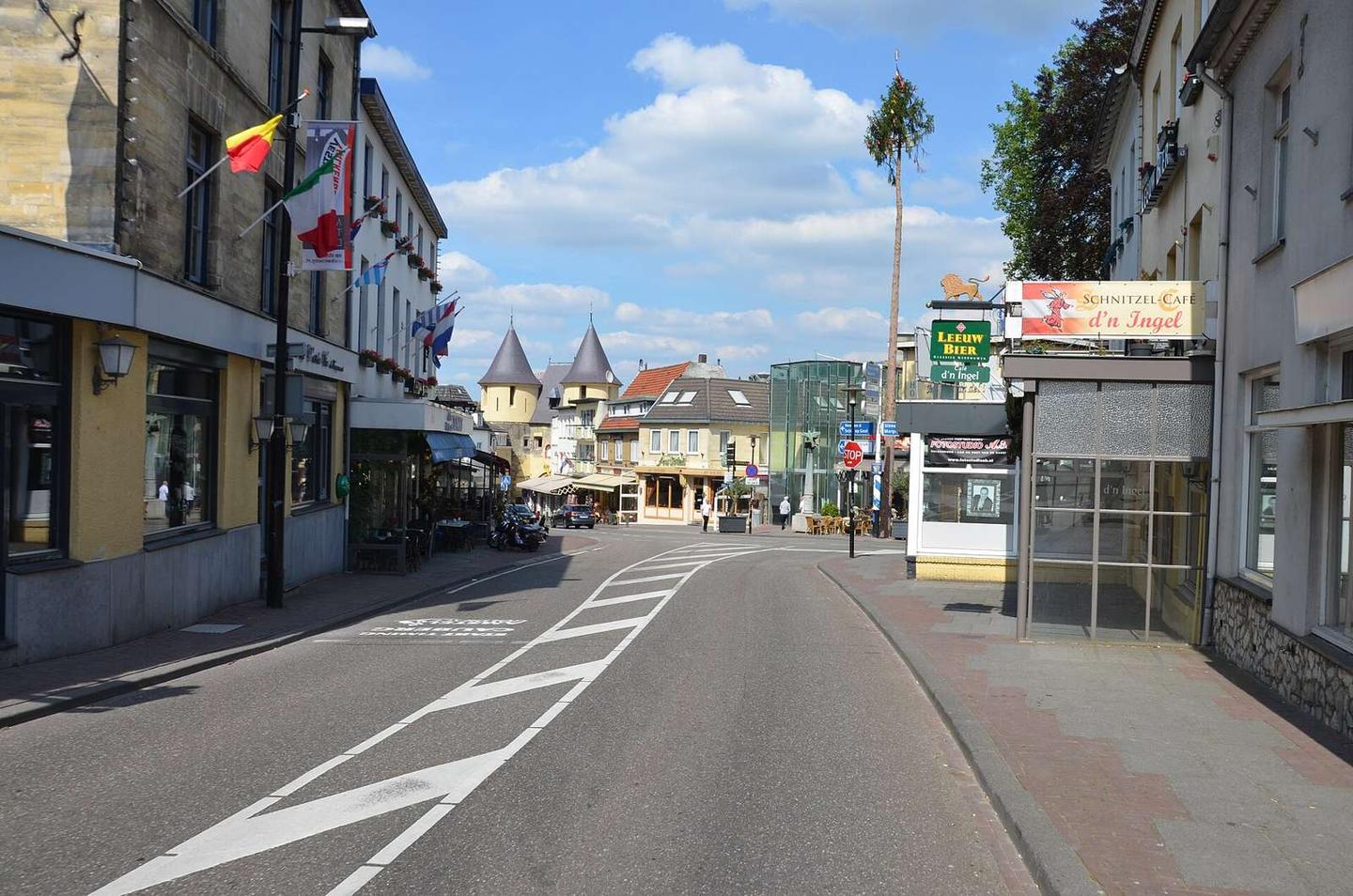
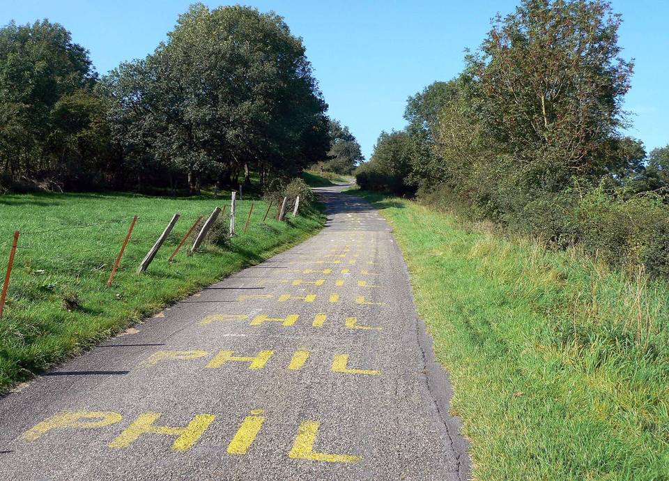
Starting in Valkenburg at 73 m elevation, the route climbs 50 m over 0.8 km to reach a high point of 122 m at Cauberg. The gradient is steep, with 0.5 km over 5% and up to 10.3% in the steepest 500 m section near the start. Most of the climb is paved (86%), with a small 14% section unmapped. The entire route is contained within Valkenburg, where shops, cafés and restaurants are plentiful close to start and finish. There is a drinking water point at 0.1 km off-route. The longest stretch without café, shop or water is just 0.3 km between 0.5 km and the finish. A bailout point is available back in Valkenburg at 0.1 km. Bike rental is available near the start at 0.2 km. Facilities such as toilets and cafés can be found within 0.3 km from the start.
Highlights

  • Cauberg summit at 122 m
  • Steep gradients up to 10.3%
  • Close to Valkenburg amenities
  • Short 0.8 km route length

What this ride is like

Measured from OpenStreetMap along the track and the elevation profile.

Surface
86% paved · 0% gravel or unpaved · 14% unmapped
Gradient
86% climbing · 14% descending · 0% flat
Steep sections
0.5 km over 5% · 0.3 km over 8% · steepest 500 m averages 10.3% at 0 km

Along the way

Within a few hundred metres of the track, from OpenStreetMap. Opening hours change — treat this as where to look, not a promise.

Food, water and shops

  1. 0 kmMadelief · supermarket · 180 m off route
  2. 0 kmBenu AMCV · pharmacy · 250 m off route
  3. 0.1 kmDrinking water · 200 m off route
  4. 0.2 kmValkbike · bike rental · 50 m off route
  5. 0.3 kmCoffeecorner 1711 · café · on the route
  6. 0.3 kmKasteelruïne · toilets · 50 m off route

Need to bail out?

  • 0.1 kmValkenburg (station), 530 m off route

Whether bikes are carried depends on the service — check before relying on it.

Worth a stop

  • 0 kmDen Halder Castle (castle)

At the start

  • Bakkerij Geurten · bakery · 80 m
  • Proeflokaal Leeuw aan de Brug · café · 70 m
  • Coffeecorner 1711 · café · 270 m
  • Restaurant Zest · restaurant · 180 m
  • De Beren · restaurant · 80 m

At the finish

  • Coffeecorner 1711 · café · 440 m
  • Classic · pub · 250 m
  • Fixed Gear Coffee · café · 440 m
  • Senses · restaurant · 80 m
  • Bread & Bites · restaurant · 100 m

Stay after this ride

  • Thermae 2000 hotel · hotel · 160 m from the finish
  • Hotel 1711 · hotel · 440 m from the finish
  • Hotel Leto · hotel · 430 m from the finish
  • Hotel Parkzicht · hotel · 550 m from the finish
  • Hotel Courage · hotel · 660 m from the finish

Practical information

Surface
Paved
Route shape
Point to point
Riding time
3 min

Know before you go

  • 0.3 km longest stretch without cafe or shop near the finish

Routes are for inspiration. Roads, surfaces and conditions change — check locally and ride within your limits.