Road · Belgium
A mountainous 6 km road cycling route from Stoqueu through Kin, Aywaille and Remouchamps, with 104 m of climbing.
The ride starts near Stoqueu at 301 m height, descending over 3 km to a low point of 126 m at 4.2 km. It passes through Kin (1.4 km), Aywaille (2.9 km), Remouchamps (5.1 km), and Sougné (5.5 km). Surfaces are 90% paved with 10% gravel or unpaved sections. Roads include 2.6 km of minor roads, 1.4 km quiet streets, 0.9 km main roads, and 0.9 km cycle paths.
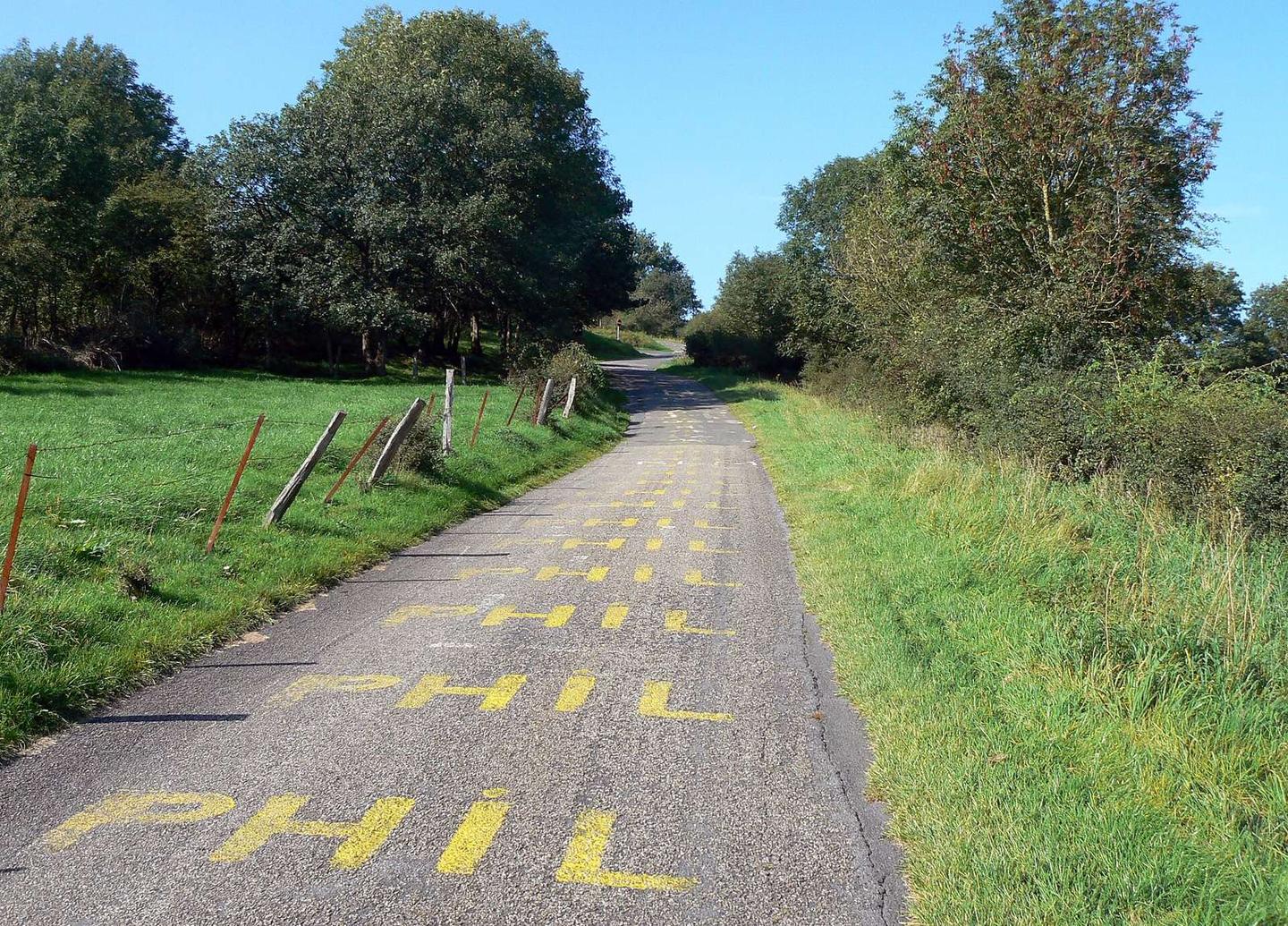
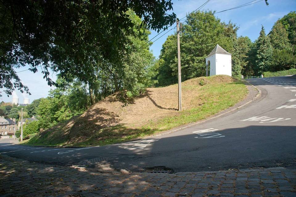
The main climb begins near 4.8 km, lasting 1.6 km with 100 m elevation gain at an average gradient of 6.4%, peaking at 8.9%. The steepest 500 m at the start have an 18.6% gradient. There is a 3 km continuous descent from 0.3 km dropping 168 m. The longest stretch without café, shop or water is 2.1 km from 1.2 to 3.3 km.
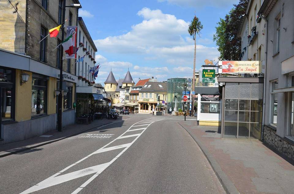
Amenities near the route include a café (Coffee Corner Illy) at 3.6 km, a supermarket (Aldi) at 4 km, toilets 272 m off route at 3.2 km, a bike shop (Bicyclic) near 5 km, and a petrol station (Lukoil) at 3.6 km. There is a bail out railway station at Aywaille (2.7 km). At the finish, there are multiple restaurants and shops including Bicyclic bike shop and several eateries.
| Climb | Starts at | On this ride | Top on this ride |
|---|---|---|---|
| Unnamed climb | 4.8 km | 1.6 km · 100 m · 6.4 % · max 8.9 % | 230 m |
Mostly minor roads and streets on the map.
No stretch is longer than 15 km without a café, shop or water. Along the route: 9 cafés and restaurants, 3 shops, 3 petrol stations, 1 public toilet and 2 bike shops.