
Cycling in Grabouw
1 cycling route from Grabouw, Western Cape, South Africa, 97 km, 97 km mapped in all, with up to 720 m of climbing in a day. Rolling riding (7 m of climbing per km on average), mostly road routes, 83% of the riding on main roads without a cycle lane. Best months to ride: Oct to May.
At a glance
- Routes
- 1
- Lengths
- 97 km
- Biggest day
- 720 m
- Terrain
- Rolling
- Surface
- Mostly paved
- Bike
- Road bike
- Difficulty
- Hard
- Best months
- Oct to May
- Longest gap
- 32 km
- GPX
- Every route
Know before you go
Added up from the recorded routes and OpenStreetMap; nothing estimated.
- Surface
- Paved almost throughout.
- Roads
- 83% of the riding on main roads without a cycle lane.
- No services
- 32 km on Grabouw – Gordon's Bay.
Cycling guide to Grabouw
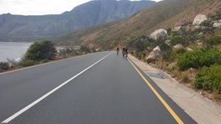
Grabouw serves as a starting point for a 97.4 km loop that passes through several coastal towns such as Gordon's Bay, Rooiels, and Pringle Bay. Riders can experience a total elevation gain of 706 m, with the biggest climb starting at 5.1 km, rising 82 m over 2.1 km at an average gradient of 4%. The route includes 97% paved roads with 81.3 km on main roads without cycle lanes, and 2% of the route is gravel or unpaved. Services are available frequently except for one stretch of 31.6 km without amenities. No railway stations are close to the route.
More on best time to ride, terrain
Best time to ride
March, with temperatures recorded at 27°C.
Terrain
The terrain features rolling climbs with gradients averaging 4% on the biggest climb, peaking at 6.5%. The highest point on the route reaches 109 m above sea level. Overall, the loop combines gentle ascents and mainly paved surfaces.