
Road · South Africa
Grabouw – Gordon's Bay
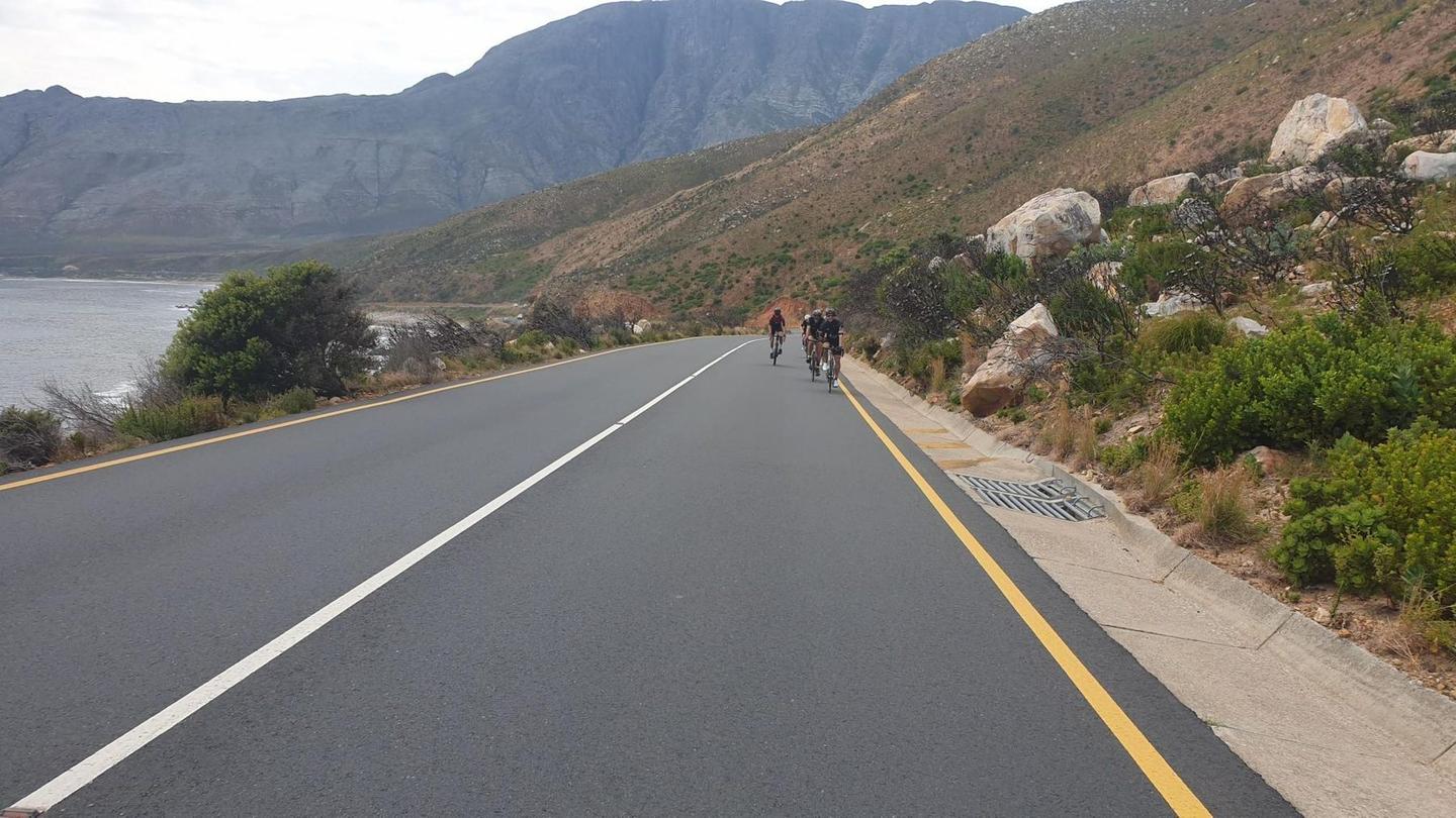
A rolling 97 km road cycling loop from Gordon's Bay, Western Cape through Rooiels, Mooiuitsig and Sunny Seas, with 720 m of climbing. Most of it (81.3 km) is on main roads without a cycle lane, 39.6 km where the limit is 80 km/h or more. There is a 32 km stretch without a café, shop or water (km 64–96).
At a glance
- Best for
- Rolling day rides for confident riders at ease in traffic
- Distance
- 97.4 km
- Elevation gain
- 720 m
- Riding time
- 3½–5 hours
- Difficulty
- Hard
- Bike
- Road bike
- Surface
- Paved
- Traffic
- Mostly main roads
- Food & water
- Longest gap 32 km
- Best months
- Oct to May
- Navigation
- GPX download
- Start and finish
- Gordon's Bay
Map and elevation profile
Elevation profile
- 720 m
- 97 km
Route description
- Gordon's Bay
- Rooiels
- Mooiuitsig
- Sunny Seas
- Kleinmond
- Betty's Bay
- Silver Sands
- Pringle Bay
- Gordon's Bay
Starting at Gordon's Bay at sea level, this 97.4 km loop heads along the coast through Rooiels at 20.2 km, Mooiuitsig at 29.9 km, and Sunny Seas at 37.3 km before reaching Kleinmond at 44.6 km and Betty's Bay at 56.7 km. The route continues past Silver Sands at 66.7 km and Pringle Bay at 70.6 km, returning to Gordon's Bay. Climbing totals 706 m, with the highest point reaching 109 m at 88.6 km near Boskloofpiek and finished with gentle gradients.
The ride is mostly on paved roads, 97% surfaced, mainly main roads (85%, 81 km total) including 76 km on the R44, though all main roads lack cycle lanes. Fast roads with posted speeds of 80 km/h or more cover 40 km of the route. Climbing includes four short ascents: starting at 5 km (2.1 km climb, 4% avg), 19.5 km (1.7 km, 4.2%), 70.4 km (2.2 km, 2.2%), and 86.6 km (2 km, 3.3%). The longest descent is 2.3 km dropping 47 m starting near 18 km. There is a small stretch of unpaved track near 2.4 km total gravel/unpaved.
Food and drink are available near the start/end at Gordon's Bay with several restaurants and bars including The Thirsty Oyster and GB's Grill & Lounge. Other cafes and restaurants are present at Raoiiels, Betty's Bay, and along the route, but there is one long stretch without cafes, shops, or water for 31.6 km between 64.4 km and the finish. Toilets can be found multiple times, including near 34 km, 48 km, and 96 km. Petrol is available near 60 km. Peaks Elephant Rock and Rooielsberg lie near the road along the coast.
Highlights
- Climbs with max gradient 8.5% near 20 km
- Highest point 109 m by Boskloofpiek 88.6 km
- Coastal towns: Rooiels, Betty's Bay, Pringle Bay
- Long descent of 2.3 km dropping 47 m from 17.7 km
Along the route
Places passed
Climbs
| Climb | Starts at | On this ride | Top on this ride |
|---|---|---|---|
| Unnamed climb | 5.1 km | 2.1 km · 82 m · 4 % · max 6.5 % | 106 m |
| Unnamed climb | 19.5 km | 1.7 km · 72 m · 4.2 % · max 8.5 % | 89 m |
| Unnamed climb | 70.4 km | 2.2 km · 48 m · 2.2 % · max 3.5 % | 62 m |
| Unnamed climb | 86.6 km | 2 km · 65 m · 3.3 % · max 5.4 % | 109 m |
Traffic, surface and gradient
This is not a cycle-track route: 83% is on main roads without a cycle lane, 39.6 km of it where the limit is 80 km/h or more. Riders should be comfortable sharing the road with faster traffic.
- Roads
- 85% main road · 10% quiet street · 3% minor road · 2% path · 1% other roads and tracks
- Main roads
- 81.3 km on main roads without a cycle lane — likely busier
- Fast roads
- 39.6 km on roads with a limit of 80 km/h or more
- Main roads used
- R44 (76 km), Main Road (5 km)
- Surface
- Paved: 97% of the route is mapped as paved, 2% as unpaved.
- Gradient
- 17% climbing · 19% descending · 64% flat
- Steep sections
- 1.9 km over 5% · steepest 500 m averages 7.9% at 20.7 km
- Longest descent
- 2.3 km from 17.7 km, dropping 47 m
Food, water and services
The longest stretch without a café, shop or water is 32 km, from km 64 to 96. Along the route: 25 cafés and restaurants, 3 shops, 1 petrol station and 6 public toilets.
Food, water and shops in ride order
- 0 kmThe Thirsty Oyster · restaurant · 40 m off route
- 5.1 kmPitstop Grille Shack · restaurant · 40 m off route
- 20.2 kmSomething Els · restaurant · 50 m off route
- 20.2 kmRooi Els Shop · convenience store · 80 m off route
- 34.2 kmToilets · 90 m off route
- 34.6 kmSea Biscuit · restaurant · 80 m off route
- 45 kmThe Sandpiper Restaurant · restaurant · on the route
- 48 kmToilets · 60 m off route
- 55.6 kmCoffee, on clarence · café · 30 m off route
- 55.6 kmPenguin Place Superette · supermarket · 40 m off route
- 58.1 kmToilets · 70 m off route
- 60.2 kmAstron Energy · petrol station · 50 m off route
- 62.2 kmToilets · 80 m off route
- 62.2 kmBettiesbaai Oord / Mooihawens · hospital · 280 m off route
- 64.3 kmSmile & Wave Courtyard Cafe · café · 60 m off route
- 96 kmGB's Grill & Lounge · restaurant · on the route
- 96 kmToilets · 40 m off route
Worth a stop
- 0.1 km — Bikini Beach (attraction)
- 58.1 km — Dawidskraal (picnic site)
- 62.2 km — Stony point pentium (viewpoint)
- 94.9 km — Suikerbossie (viewpoint)
Start and access
At the start and finish
- Food and coffee
- The Thirsty Oyster (40 m), GB's Grill & Lounge (80 m), Thirsty Oyster Tavern (50 m)
Know before you go
- 31.6 km longest stretch without café, shop or water from km 64.4
- 81.3 km on main roads without cycle lanes
- 39.6 km on roads with 80 km/h+ speed limit
- 2% gravel or unpaved sections
