Road · France
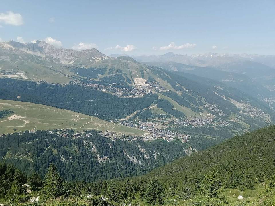
A mountainous 21 km road cycling route from Le Breuil through Aime, Mâcot-la-Plagne and Le Villard, with 1,318 m of climbing over the Aime climb. Most of it (11.4 km) is on main roads without a cycle lane, 11 km where the limit is 80 km/h or more.
Starting from Aime at 669 m, the route begins with a 3.6 km descent before a sustained climb of 16.5 km gaining 1317 m to reach La Plagne at 1987 m. The climb averages 8% with maximum gradients of 13.5%. The longest descent of 3.4 km happens just after the initial start.
The surface is mainly paved (95%), with some gravel and unpaved sections making up 4%. The route runs predominantly on main roads (11.4 km) of which 10.6 km are on the D 221. The main roads have no cycle lanes and include 11 km with speed limits of 80 km/h or more. Minor roads, quiet streets, paths and tracks complete the route.
Facilities include a bakery and supermarket near the start around 2.6 km, and a restaurant near 13.8 km with toilets nearby. There is a 7.4 km stretch without café, shop or water between 2.9 km and 10.3 km. A bike shop is located near 1.8 km and there is a bailout station 2.4 km from the start. Several amenities are available at the finish in La Plagne.
| Climb | Starts at | On this ride | Full ascent | Top on this ride |
|---|---|---|---|---|
| Aime climb | 3.6 km | 16.5 km · 1317 m · 8 % · max 13.5 % | 16.5 km · 1317 m · 8 % | 1987 m |
This is not a cycle-track route: 55% is on main roads without a cycle lane, 11 km of it where the limit is 80 km/h or more. Riders should be comfortable sharing the road with faster traffic.
No stretch is longer than 15 km without a café, shop or water. Along the route: 58 cafés and restaurants, 8 shops, 2 water points, 1 petrol station, 12 public toilets and 2 bike shops.