
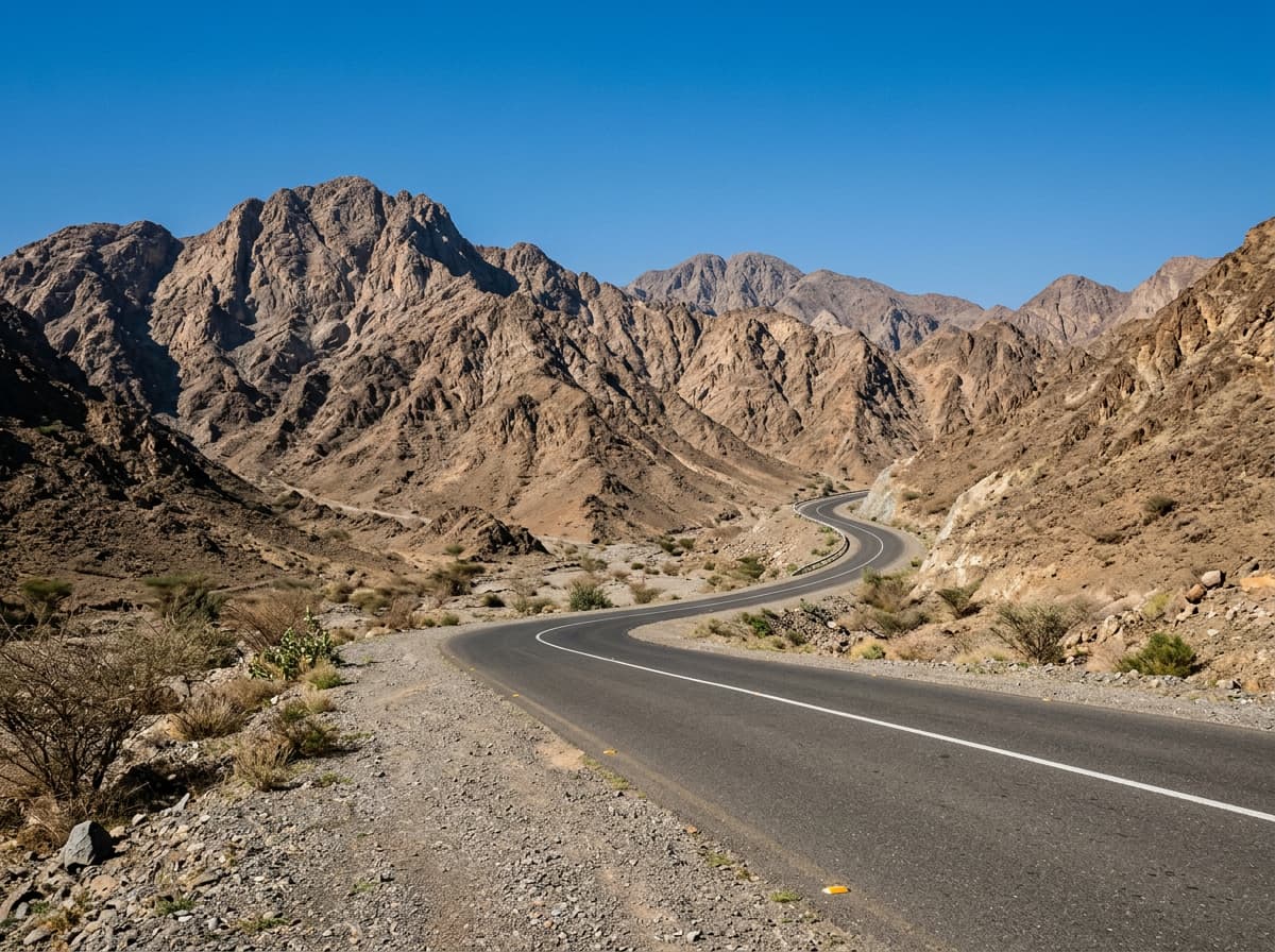
 AI image
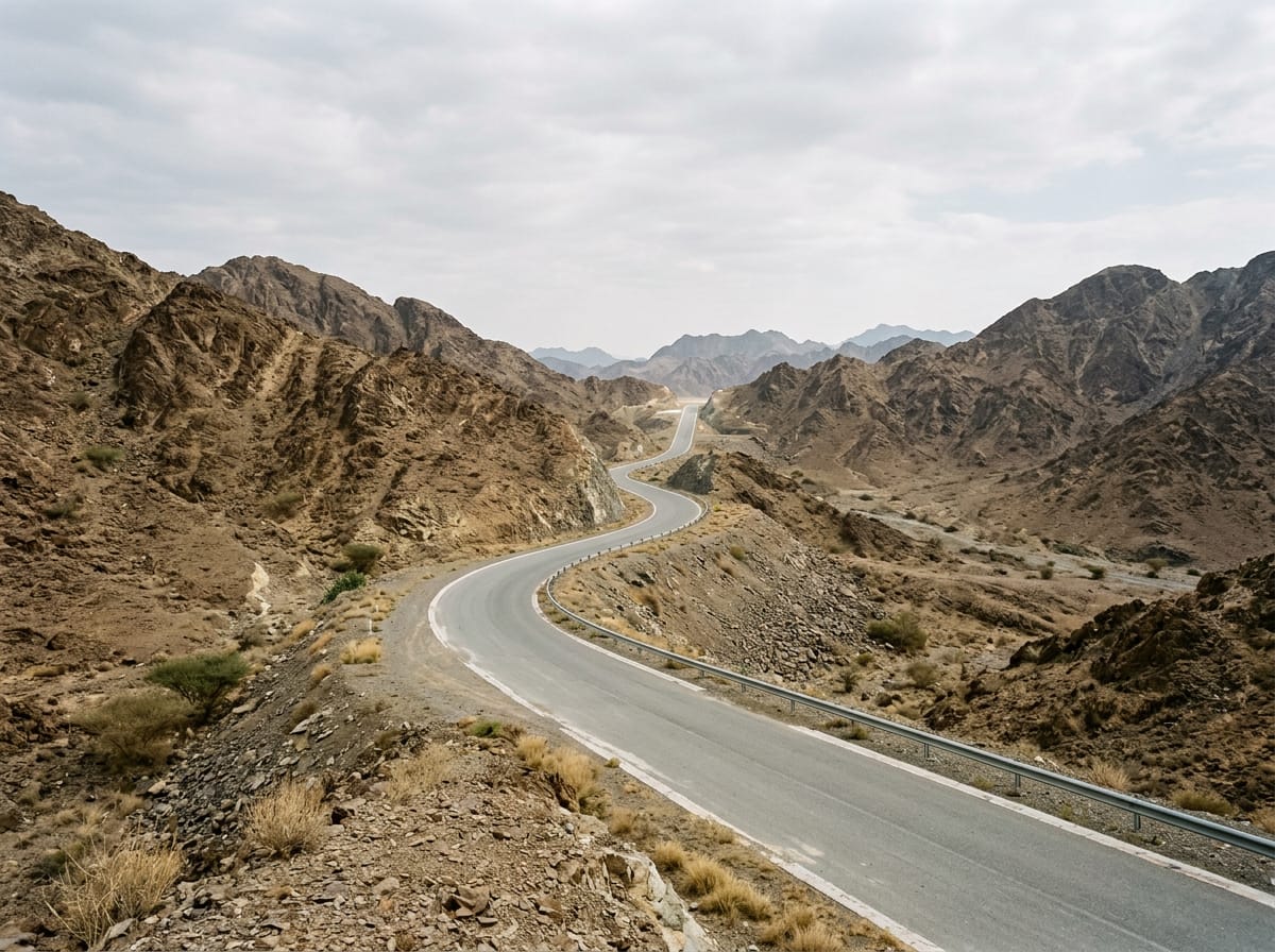
Road · United Arab Emirates
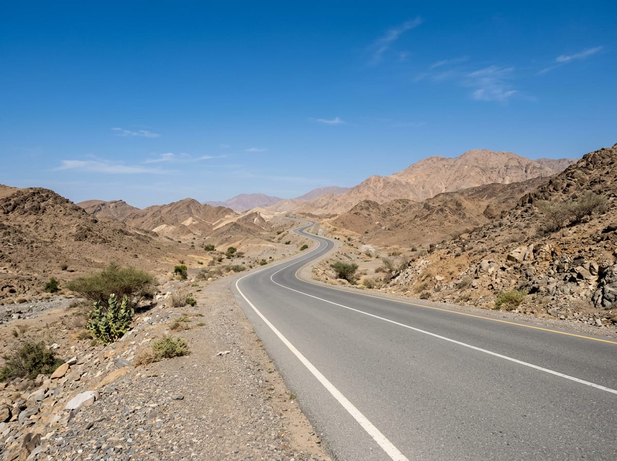
This ride suits cyclists looking for a moderate distance with 530 m climbing in mountainous terrain.
56 km point-to-point ride around Al Fujayrah in the Hajar Mountains, UAE, with 530 m climbing.
Starting at Al Fujayrah, the route heads to Yaif at 7.2 km, climbing steadily early on with gradients around 2.9% averaging 52 m gain over 1.8 km. It continues through Al Qor (new village) by 13.4 km with further climbs reaching up to 81 m gain over 3.2 km. The profile peaks at 456 m elevation around 18.6 km after several gentle climbs and then descends towards Hatta near 28 km. Beyond Hatta, the route moves through Sufayri and Huwaylat, where there are supermarkets, petrol stations, and a restaurant nearby for refuelling. It then cycles past Al Wa'ab and Munay before finishing at Al Qilē'ī at 56 km. Most surfaces are paved (97%), with 2% gravel and 1% unmapped. The ride mainly follows motorways (49%), main roads (33%), and major roads (13%), including 53.6 km on main roads without cycle lanes and 28.7 km on roads with speed limits of 80 km/h or more.
| Climb | Starts at | Length | Gain | Average | Max | Top |
|---|---|---|---|---|---|---|
| — | 2.2 km | 1.8 km | 52 m | 2.9 % | 4.3 % | 363 m |
| — | 11.1 km | 1.2 km | 41 m | 3.4 % | 5.5 % | 318 m |
| — | 13.4 km | 3.2 km | 81 m | 2.6 % | 3.4 % | 400 m |
| — | 16.8 km | 1.8 km | 52 m | 2.8 % | 4.1 % | 456 m |
| — | 30 km | 2.1 km | 82 m | 3.9 % | 5.7 % | 386 m |
| — | 32.7 km | 1.1 km | 55 m | 4.9 % | 7.5 % | 408 m |
| — | 45.5 km | 1.2 km | 44 m | 3.7 % | 6.1 % | 278 m |
| — | 51.7 km | 1.8 km | 49 m | 2.7 % | 4 % | 305 m |
Longest stretch without a café, shop or water: 26 km, from 0 km to 26 km.
AI imageRoad · United Arab Emirates
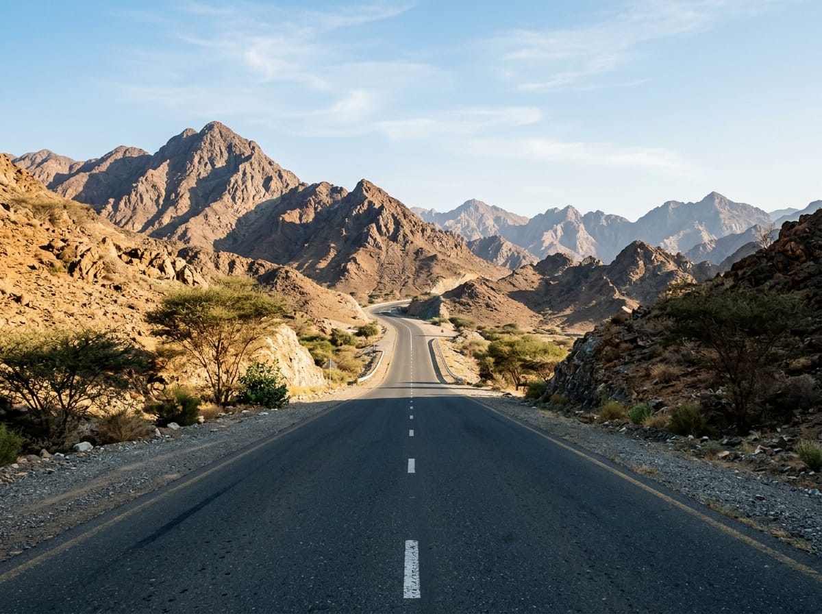 AI image
Road · United Arab Emirates
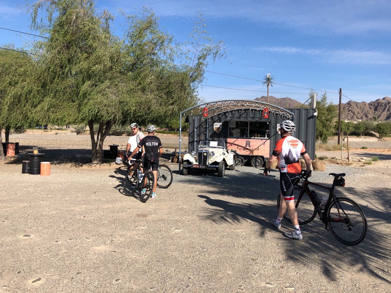
Road · United Arab Emirates
 AI image
Road · United Arab Emirates
 AI image
Road · United Arab Emirates
 AI image
Road · United Arab Emirates
 AI image
Road · United Arab Emirates
 AI image
Road · United Arab Emirates