Cyclists.com

Around Al Fujayrah via Um al Ghaf (89 km)

Al Fujayrah, Fujairah, United Arab EmiratesRoad

89 km
Distance
1,031 m
Elevation gain
Hard
Difficulty
Paved
Surface
Download GPXMap
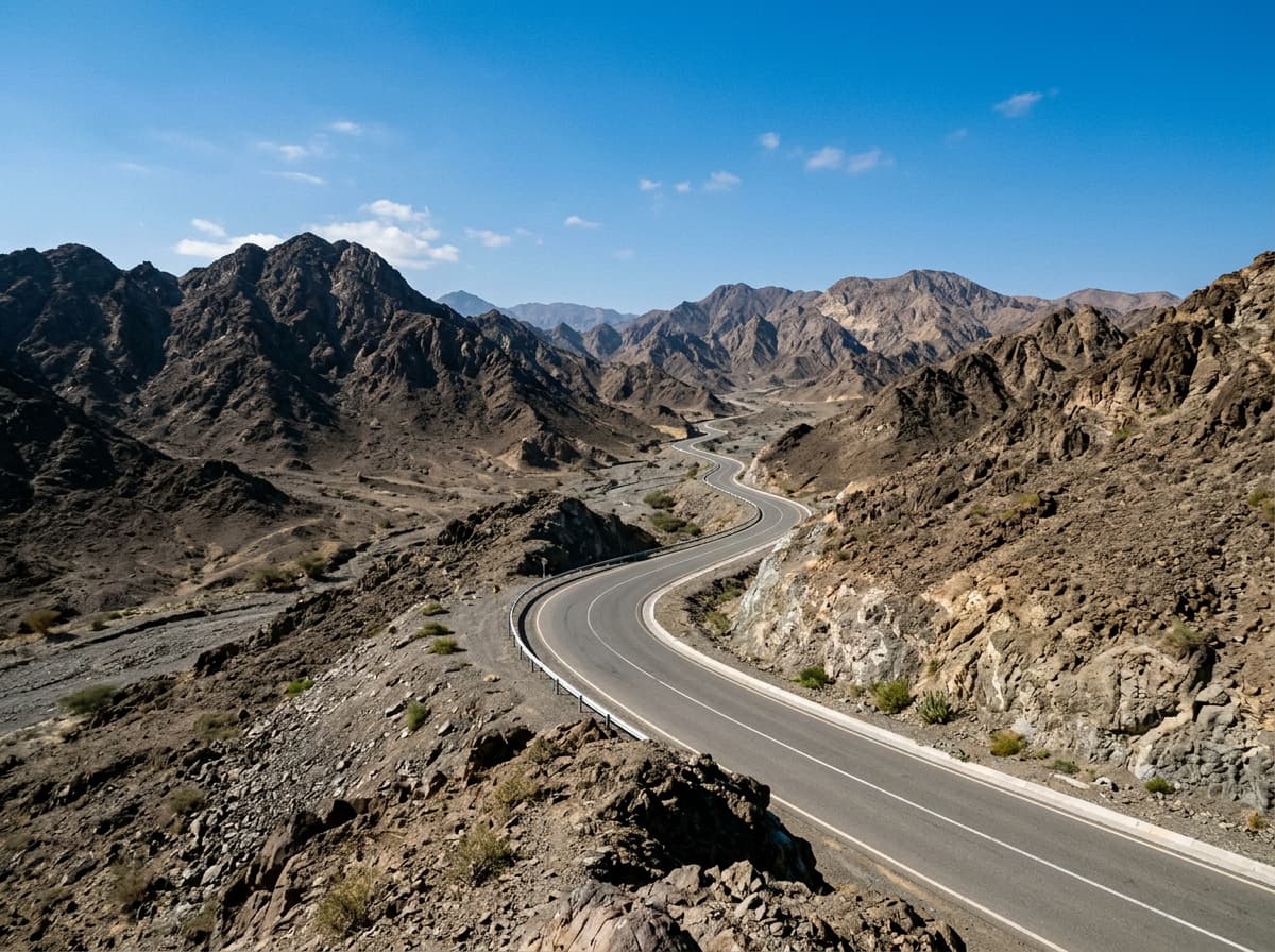
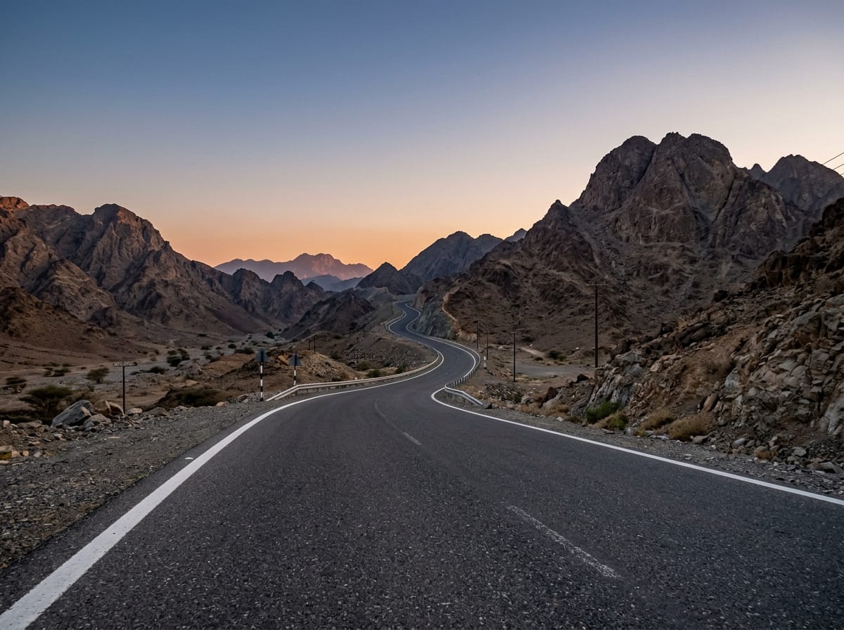
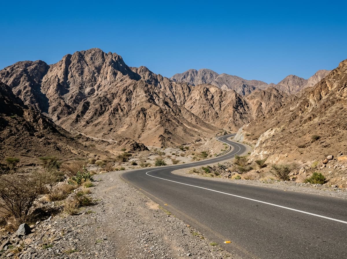
On the road: Around Al Fujayrah via Um al Ghaf (89 km)
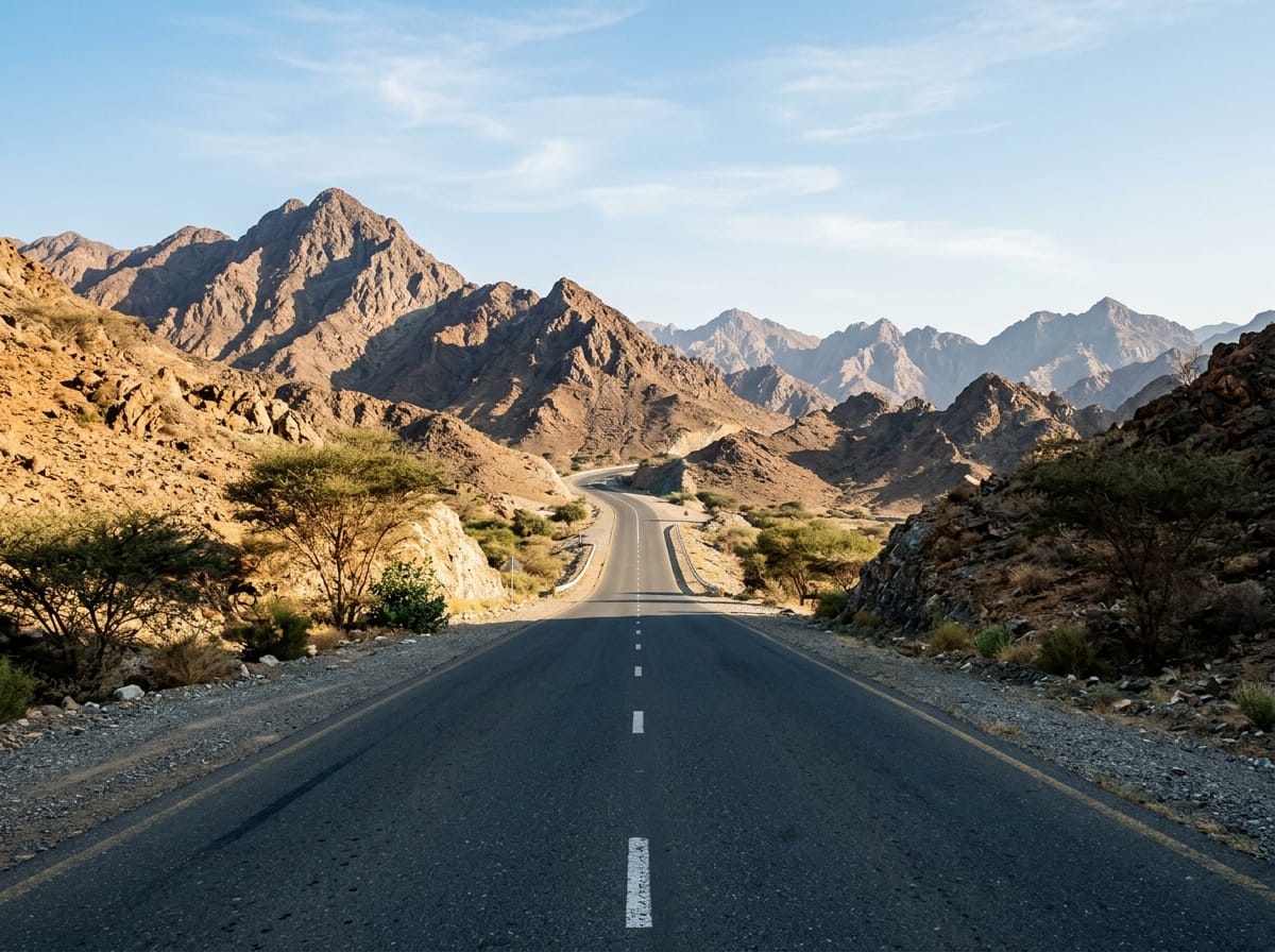
AI image

Elevation profile

Total ascent
1,031 m
Distance
89 km
0200400600m0 km2040608089 km509 m · highest, at 16.1 kmStartFinish · back at the start

Route overview

Suitable for riders seeking a challenging 89 km ride with over 1000 m climbing in varied terrain.

89 km loop around Al Fujayrah in the Hajar Mountains with 1031 m climbing.

This 89 km loop departs from Al Fujayrah, heading first to Al Qilē'ī at 7.5 km and then shortly passing through Fayyad at 10.1 km. The route crosses several climbs early on, including a 4.3 km climb averaging 5% gradient to reach 538 m at 17.3 km. The route descends to its lowest point of 2 m at 30.9 km. The ascent and descent are balanced, with 55% of the elevation gain occurring in the first half. The highest point is near km 17.3. The route includes 56.8 km on main roads and 14 km on motorways, with minor roads, tracks and quiet streets making up smaller shares. Most of the route is paved (95%), with a small 1% gravel or unpaved section. Nearly 75 km of main roads lack cycle lanes, and 9.8 km are roads with posted limits of 80 km/h or more. Key named roads include 13.4 km on Sharjah - Kalba Road. The longest steady climb above 5% is 4 km and the steepest 500 m section averages 17.8%.

Highlights

  • Climb to 538 m at 17 km
  • Village of Wahala at 44 km
  • Jabal Al Miqsha peak near 6 km
  • Long 5.8 km climb from 67.5 km

Along the route

Measured from the recorded track and OpenStreetMap.

Places passed

  1. Al Qilē'ī 7.5 km
  2. Fayyad 10.1 km
  3. Wahala 43.7 km
  4. Um al Ghaf 52.7 km
  5. Al Naslah 55.6 km
  6. Rāfāq 57.5 km
  7. Fashrah 61.8 km
  8. Huwaylat 66.2 km
  9. Al Wa'ab 84.8 km

Climbs

ClimbStarts atLengthGainAverageMaxTop
3.1 km2 km49 m2.4 %4.1 %305 m
8.1 km1.3 km42 m3.2 %5 %275 m
10.9 km1.9 km46 m2.5 %5.4 %323 m
Harrah climb13.1 km4.3 km211 m5 %10 %538 m
20.8 km2.5 km72 m2.9 %4.8 %272 m
32.2 km3 km87 m2.9 %8 %96 m
As Simsimānīyah climb67.5 km5.8 km188 m3.3 %9 %408 m
84.6 km1.5 km44 m2.9 %6 %278 m

High point 538 m at 17.3 km; low point 2 m. Passes beneath Jabal Al Miqsha, Jabal Naselah.

Harrah climb · starts at 13 km

4.3 km at 5% · 211 m
350400450500550m7.2%11%-5.2%0 km1234.1 km538 msteepest 10.7%
< 4%4 – 7%7 – 10%> 10%

As Simsimānīyah climb · starts at 67.4 km

5.9 km at 3.2% · 189 m
250300350400m2.1%2.4%3.5%7.0%0 km123455.9 km405 msteepest 7.0%

What this ride is like

Measured from OpenStreetMap along the track and the elevation profile.

Roads
65% main road · 16% motorway · 6% minor road · 6% other
Main roads
74.5 km on main roads without a cycle lane — likely busier
Fast roads
9.8 km on roads with a limit of 80 km/h or more
Main roads used
Sharjah - Kalba Road (13 km)
Surface
Paved throughout
Gradient
26% climbing · 23% descending · 51% flat
Steep sections
4 km over 5% · 1.7 km over 8% · 0.4 km over 10% · steepest 500 m averages 17.8% at 0 km
Longest descent
5.7 km from 74.2 km, dropping 182 m

Along the way

Within a few hundred metres of the track, from OpenStreetMap. Opening hours change — treat this as where to look, not a promise.

Longest stretch without a café, shop or water: 35 km, from 32 km to 67 km.

Food, water and shops

  1. 24.1 kmHabib Beirut · restaurant · 60 m off route
  2. 29.9 kmStarbucks · café · 60 m off route
  3. 29.9 kmADNOC · petrol station · 210 m off route
  4. 31.7 kmKiosk · 100 m off route
  5. 31.9 kmToilets · 70 m off route
  6. 66.9 kmADNOC · petrol station · 40 m off route
  7. 79.7 kmnaseem al howailat · supermarket · on the route

Worth a stop

  • 24.1 kmHanging Garden Kalba (attraction)
  • 31.9 kmWildlife observation (viewpoint)
  • 43.7 kmWahla Fort (castle)
  • 52.1 kmJabal Naselah (peak, 178 m)

Practical information

Surface
Paved
Route shape
Loop
Riding time
3½–4½ hours riding
Season
January with temperatures around 22°C.
Best months
Dec to Mar — daily highs of 25–28 °C in those months

Know before you go

  • 35.2 km longest stretch without café, shop or water from 31.7 to 66.9 km
  • 74.5 km on main roads without cycle lane
  • 9.8 km on roads with speed limit 80 km/h or above
  • 1% gravel or unpaved surface

Routes are for inspiration. Roads, surfaces and conditions change — check locally and ride within your limits.

More rides from Al Fujayrah