
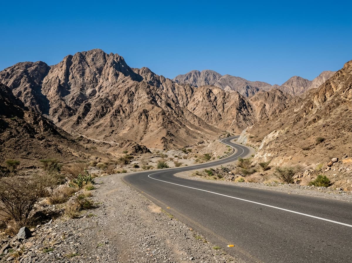
 AI image
Road · United Arab Emirates
Riders fit enough for a long 93 km ride with 1283 m of climbing.
A 93 km loop in the Hajar Mountains from Al Fujayrah with 1283 m climbing.
This 93.4 km loop starts at Al Fujayrah and heads north to Wahala at 18.9 km. It continues to Al Maqt'a, Al Quala'a, and Kalba at 40 km, passing several small places in quick succession. The route then travels past Ihfarah at 54.2 km before looping back towards Al Fujayrah. The climbing is spread out, with notable climbs early on between km 0.3 and 6.9 and further climbs between km 56.7 and 90.1. The highest point is 314 m around km 1.9, and the route descends to 1 m near Kalba. The longest descent is nearly 5 km from km 12.3 with a drop of 83 m. Most of the 93 km is paved (98%) with a mix of main roads (44%), motorways (31%), minor roads (9%), major roads (8%), quiet streets (7%), and a short path (1%). There are 76 km on main roads without a cycle lane and 21 km on roads with posted speeds of 80 km/h or more. Key named roads include Sharjah - Kalba Road for 28.1 km. The longest stretch without a café, shop, or water is 30.9 km from the start, with facilities appearing near km 30 to 44, including a café, restaurants, a supermarket, toilets, and a petrol station. Mountain peaks near the route include Jabal Hafarah at 112 m near km 53 and Jabal Al Khasfah at 464 m near km 71.
| Climb | Starts at | Length | Gain | Average | Max | Top |
|---|---|---|---|---|---|---|
| — | 0.3 km | 1.6 km | 80 m | 5.1 % | 13.9 % | 314 m |
| — | 5.2 km | 1.7 km | 91 m | 5.4 % | 12.1 % | 263 m |
| — | 26.3 km | 1.5 km | 45 m | 3.1 % | 6.4 % | 95 m |
| — | 56.7 km | 5 km | 110 m | 2.2 % | 3.2 % | 169 m |
| — | 62.1 km | 2.5 km | 98 m | 4 % | 8.3 % | 270 m |
| — | 67.4 km | 2.8 km | 82 m | 2.9 % | 6.9 % | 281 m |
| — | 72.7 km | 1.4 km | 42 m | 2.9 % | 3.9 % | 116 m |
| Al Fujayrah climb | 75.7 km | 2.6 km | 195 m | 7.5 % | 19.2 % | 278 m |
| — | 83.6 km | 1.4 km | 91 m | 6.4 % | 13 % | 268 m |
| — | 86.1 km | 1.9 km | 70 m | 3.8 % | 6.9 % | 233 m |
| — | 88.3 km | 1.8 km | 99 m | 5.6 % | 8.5 % | 313 m |
Longest stretch without a café, shop or water: 31 km, from 0 km to 31 km.
AI imageRoad · United Arab Emirates
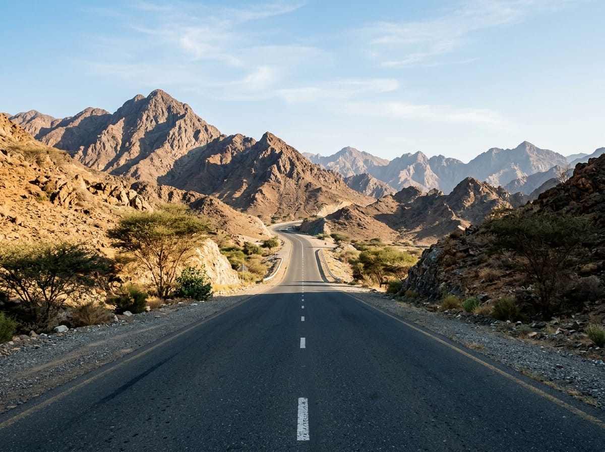 AI image
Road · United Arab Emirates
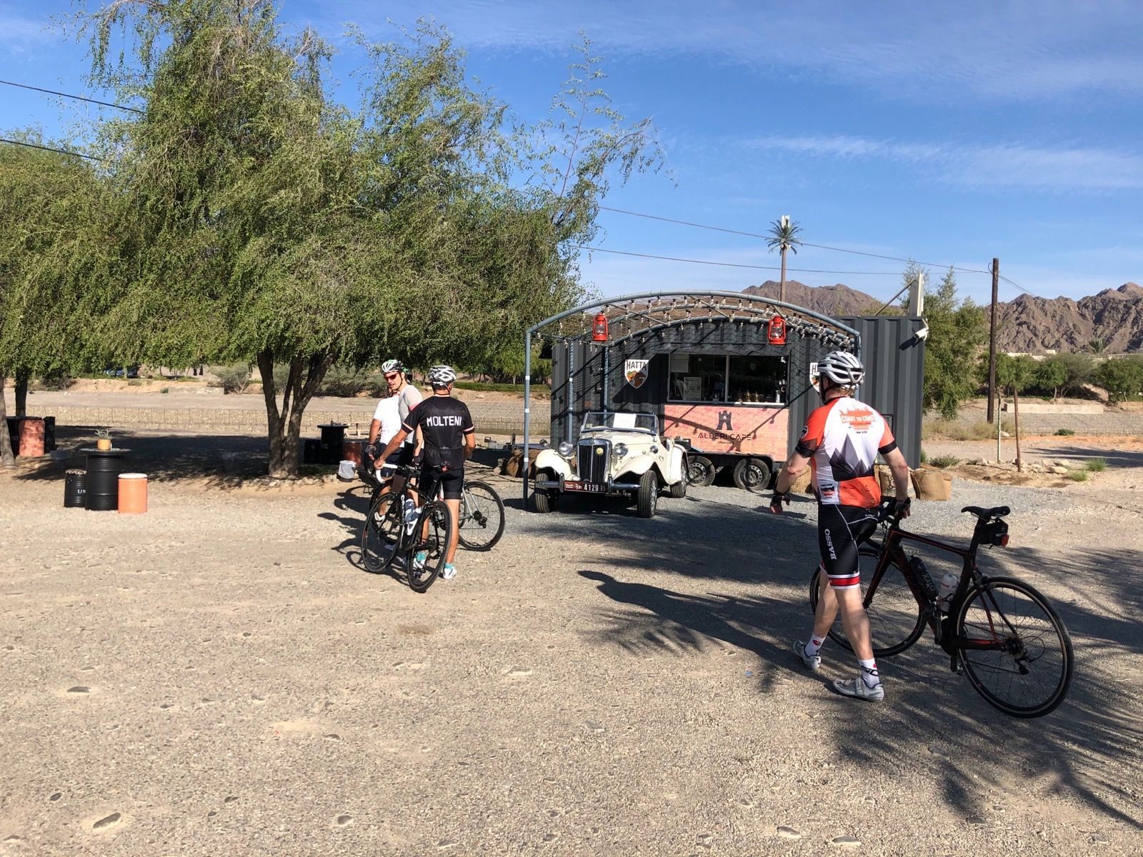
Road · United Arab Emirates
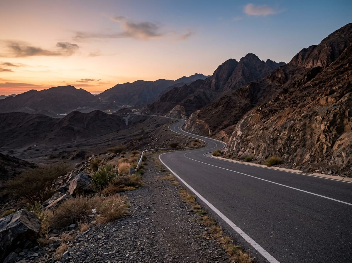 AI image
Road · United Arab Emirates
 AI image
Road · United Arab Emirates
 AI image
Road · United Arab Emirates
 AI image
Road · United Arab Emirates
 AI image
Road · United Arab Emirates