
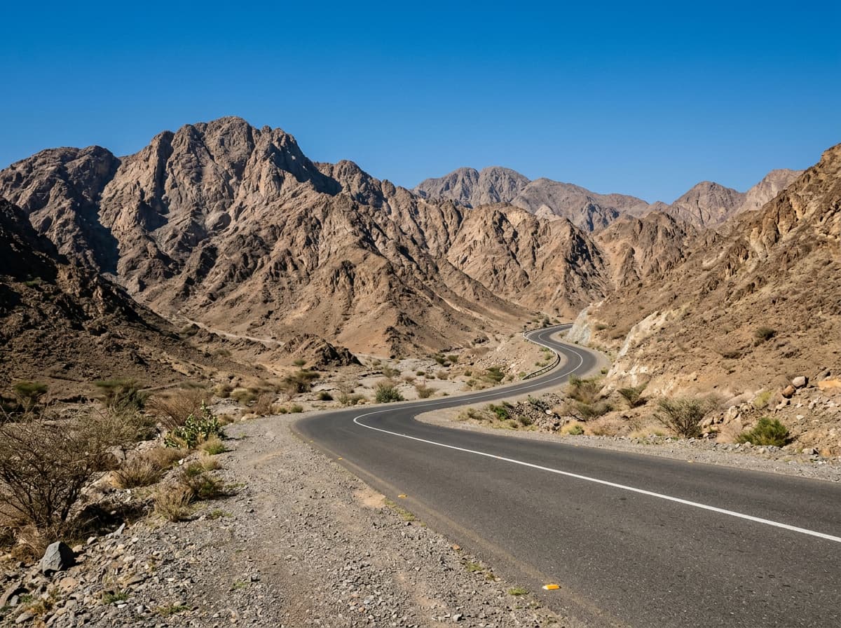
 AI image
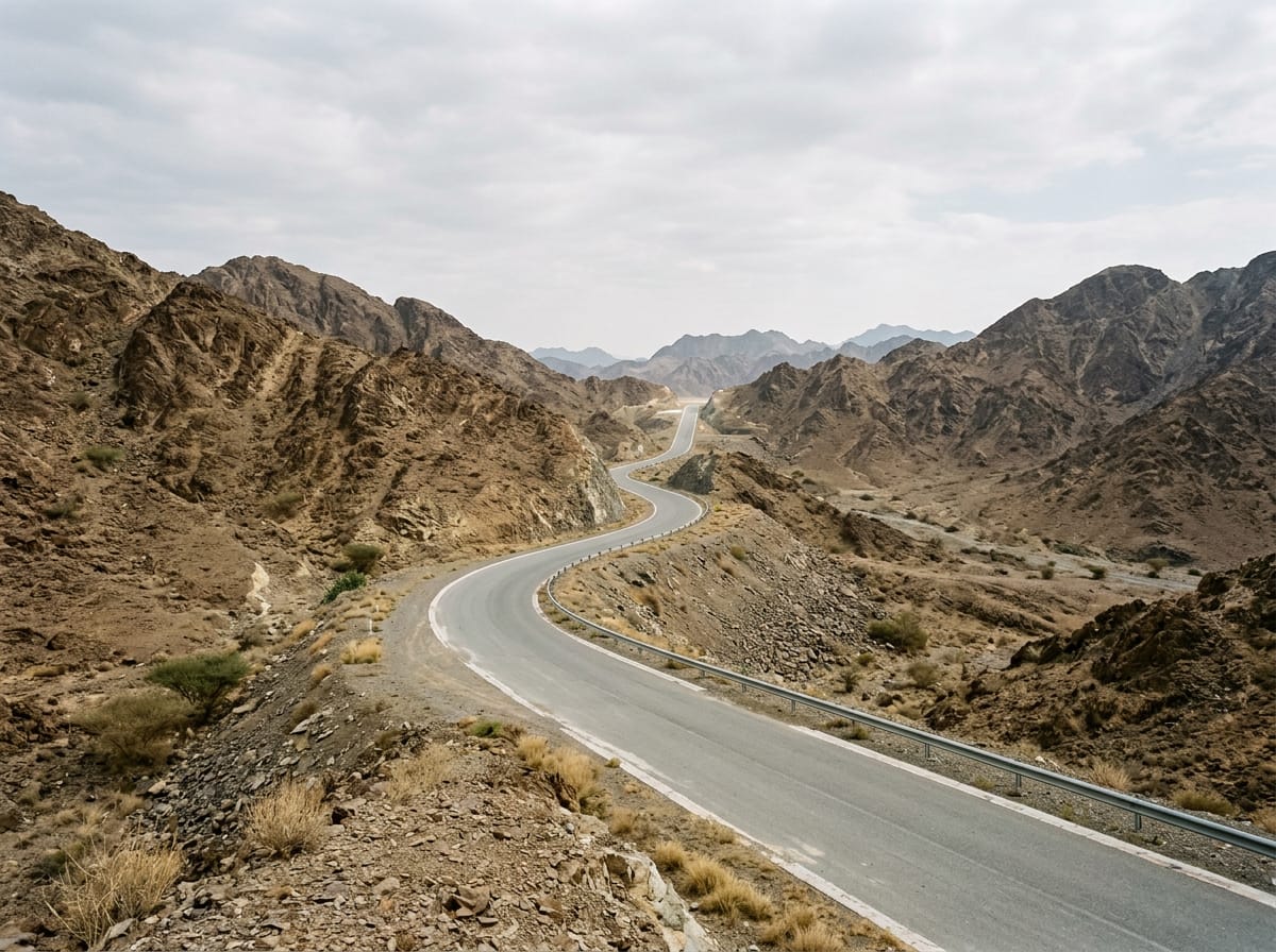
Road · United Arab Emirates
This ride suits cyclists prepared for a long 98 km distance with moderate climbing totaling 1226 m.
98 km loop around Al Fujayrah in the Hajar Mountains with 1226 m climbing and varied gradients.
The ride starts in Al Fujayrah and heads through Yaif at 2.1 km, then Sha'biyyat Milāḩ at 6.7 km. It continues past Al Wa'ab (12.6 km), Munay (15.3 km), and Minazif (24.1 km), progressing towards Al Uqdah (40.4 km) and the combined point of Al Saaf and Al Ghail at 47 km. The route then passes Wahala at 63.9 km and Al Qilē'ī at 83 km before returning to Al Fujayrah. The route features a total elevation gain of 1226 m with multiple climbs, including gradients up to 21.4% for a 500 m section at the start. Climbing sections vary from gentle gradients around 2.5-3.8% to steeper pitches up to 13.8%, with notable climbs between km 12.4 and 33.1 as well as km 74.5 to 83. The highest point is at 363 m near km 96.3. Road surfaces are almost entirely paved (99%) with a small 1% gravel section. The route mainly uses motorways (49%) and main roads (41%), with 90 km on main roads without a cycle lane and 43 km on roads with speed limits of 80 km/h or more. Facilities such as cafés, shops, toilets, and petrol stations are mostly located after 48.3 km, with a Starbucks café at 50 km and an ADNOC petrol station nearby. There is a longest stretch of 48.3 km without café, shop or water from the start to 48.3 km.
| Climb | Starts at | Length | Gain | Average | Max | Top |
|---|---|---|---|---|---|---|
| — | 12.4 km | 1.5 km | 44 m | 2.9 % | 6.1 % | 278 m |
| — | 18.7 km | 2 km | 48 m | 2.5 % | 4.1 % | 305 m |
| — | 23.5 km | 1.6 km | 76 m | 4.8 % | 13.7 % | 315 m |
| — | 28.3 km | 1.8 km | 94 m | 5.3 % | 12.2 % | 265 m |
| — | 33.1 km | 3.2 km | 86 m | 2.7 % | 6.5 % | 269 m |
| — | 53.8 km | 1.5 km | 57 m | 3.8 % | 7.7 % | 95 m |
| — | 68.9 km | 1.9 km | 47 m | 2.5 % | 3.7 % | 186 m |
| — | 74.5 km | 1.4 km | 89 m | 6.5 % | 13.8 % | 267 m |
| — | 76.9 km | 1.9 km | 63 m | 3.3 % | 6.4 % | 231 m |
| — | 79.2 km | 1.6 km | 88 m | 5.4 % | 10.6 % | 304 m |
| — | 83 km | 1.9 km | 64 m | 3.4 % | 5.3 % | 307 m |
| — | 94.5 km | 1.9 km | 52 m | 2.8 % | 4.1 % | 363 m |
Longest stretch without a café, shop or water: 48 km, from 0 km to 48 km.
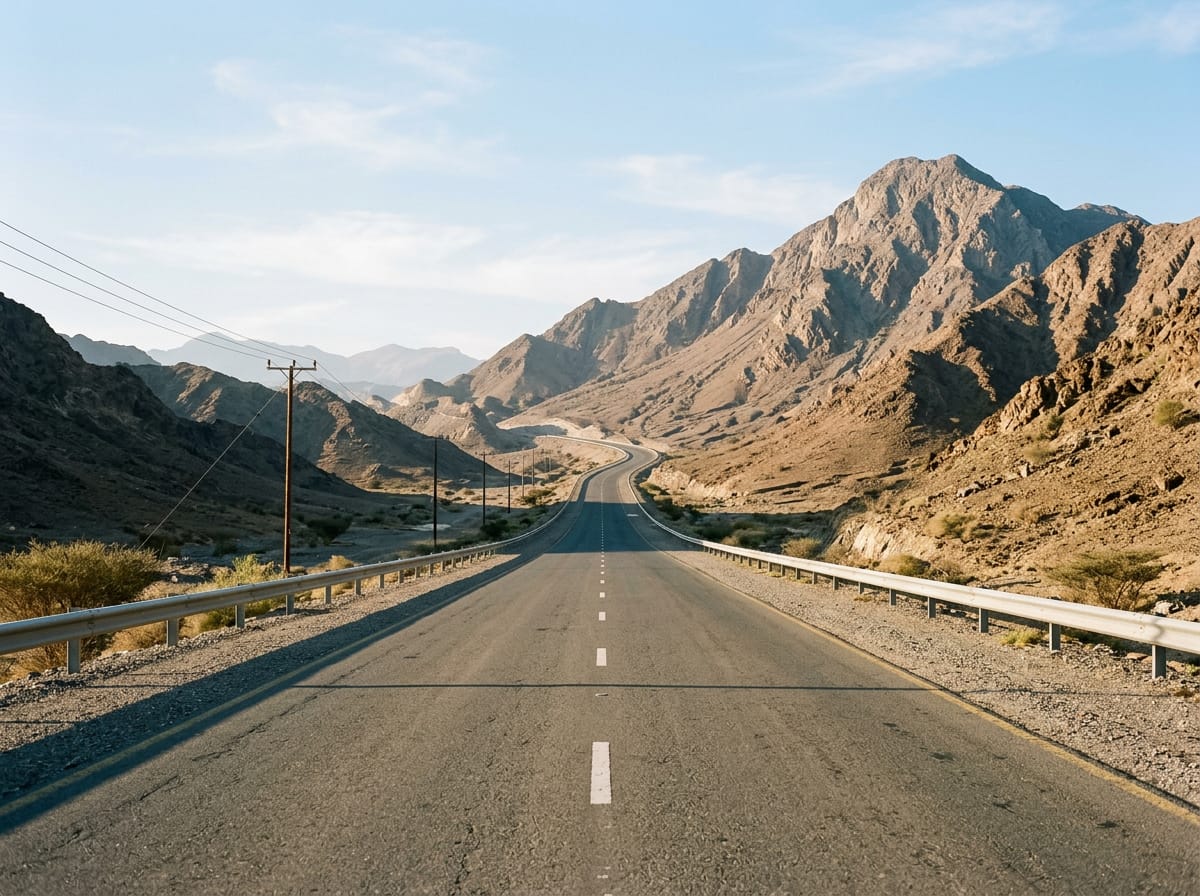
AI imageRoad · United Arab Emirates
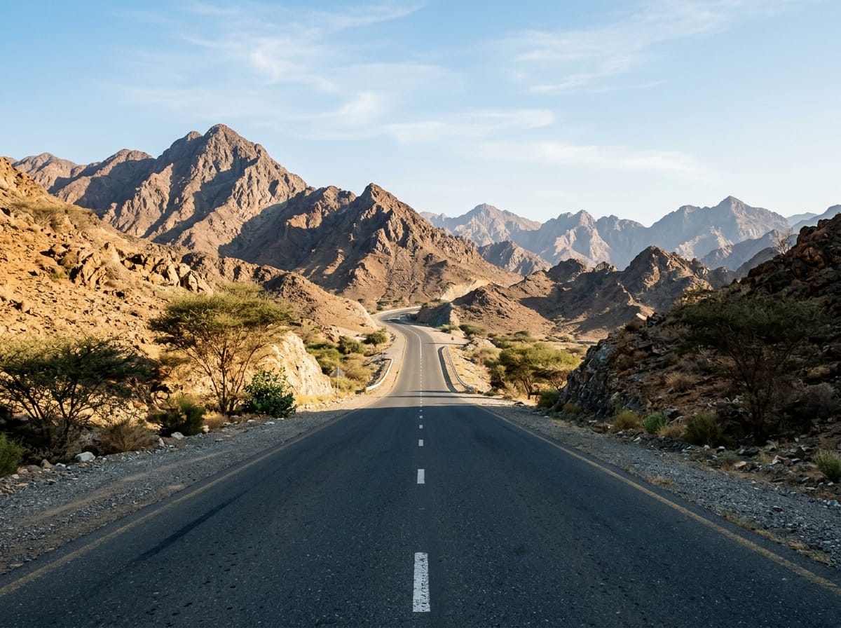 AI image
Road · United Arab Emirates
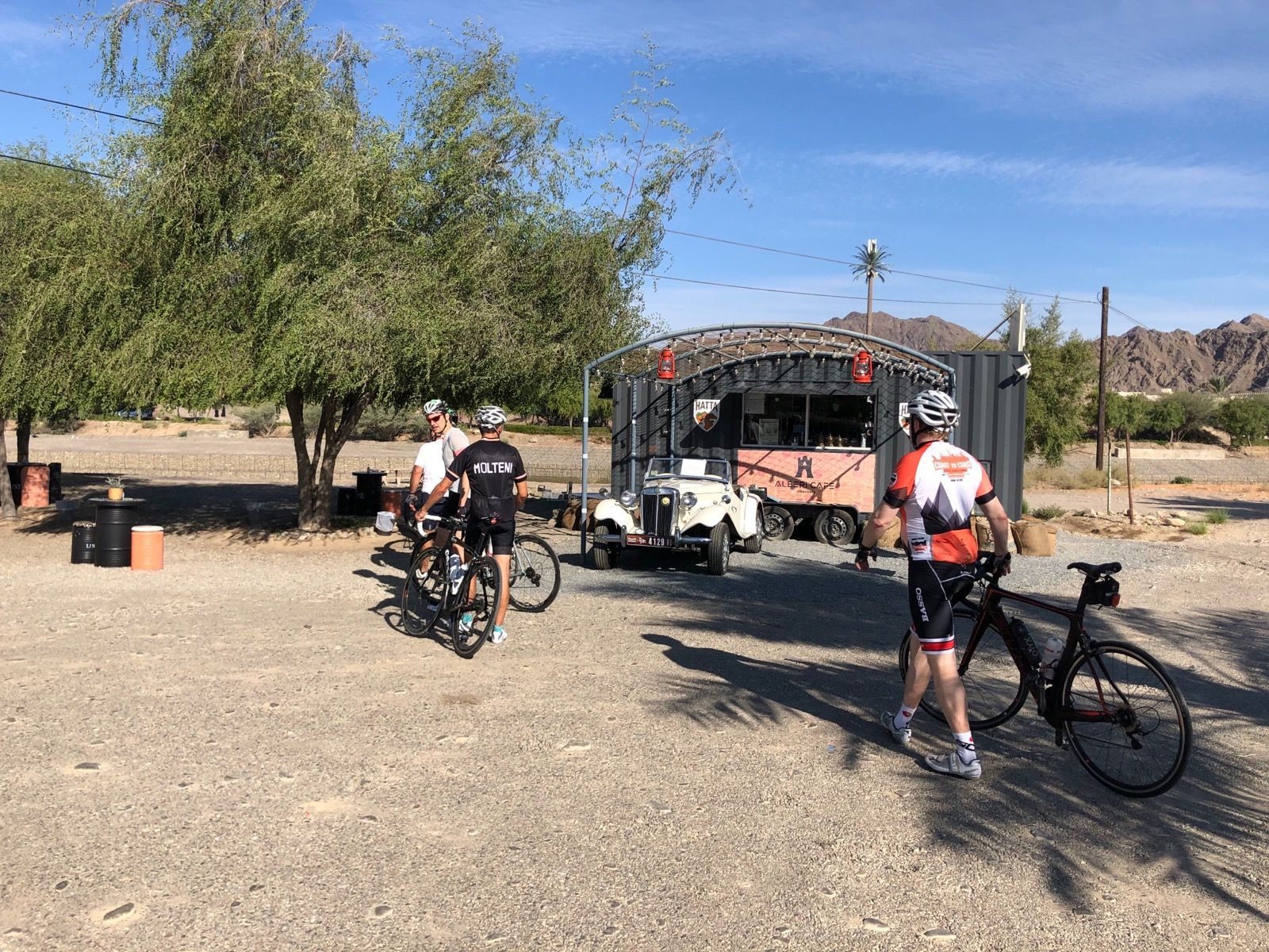
Road · United Arab Emirates
 AI image
Road · United Arab Emirates
 AI image
Road · United Arab Emirates
 AI image
Road · United Arab Emirates
 AI image
Road · United Arab Emirates
 AI image
Road · United Arab Emirates