
Road · Spain
A rolling 60 km road cycling route from Alcudia, Mallorca to Palma through Campanet, Biniagual and Marratxinet, with 331 m of climbing.
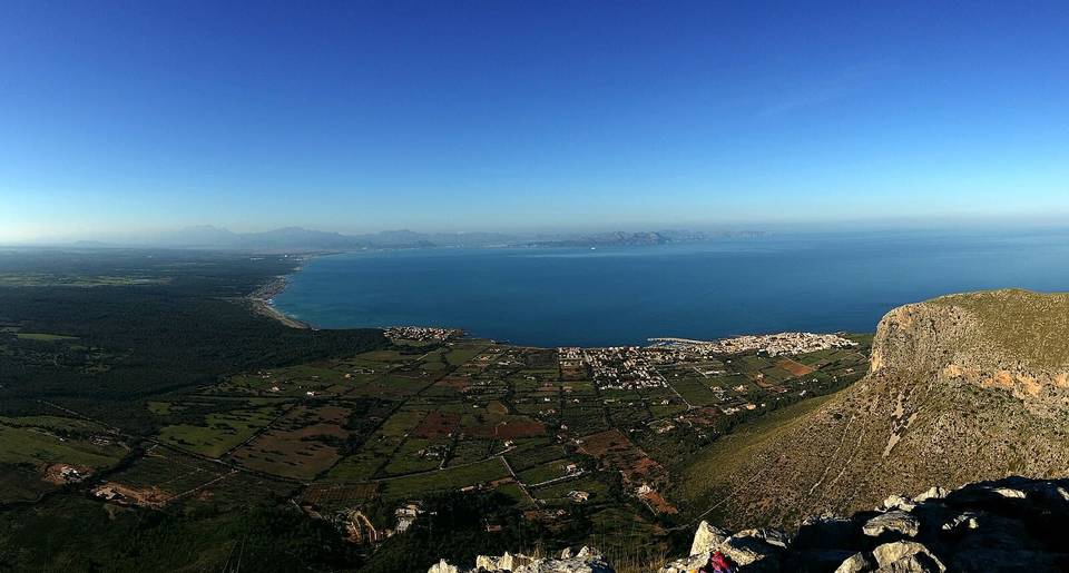
Starting from Alcudia at near sea level, the route heads south passing near peaks such as Puig d'Almadrava (96 m at 2.9 km) and Puig de Sant Miquel (191 m at 16.4 km). The main climb begins around km 17.2, lasting 1.8 km with a 64 m gain at an average gradient of 3.5%, reaching 116 m. From there the road undulates gently, with most climbing in the first half (78%).
The road surface is mostly paved (95%) with small sections of gravel or unpaved (3%) and unmapped (2%). The route uses a mix of road classes: mainly minor roads (63%), quiet streets (12%), main roads (9%), cycle paths (8%), paths and tracks for smaller shares. Main roads without cycle lanes total 5.5 km. The ride makes use of named roads such as camí vell de Muro (9.7 km ride) and camí vell de Pollença (4.5 km).
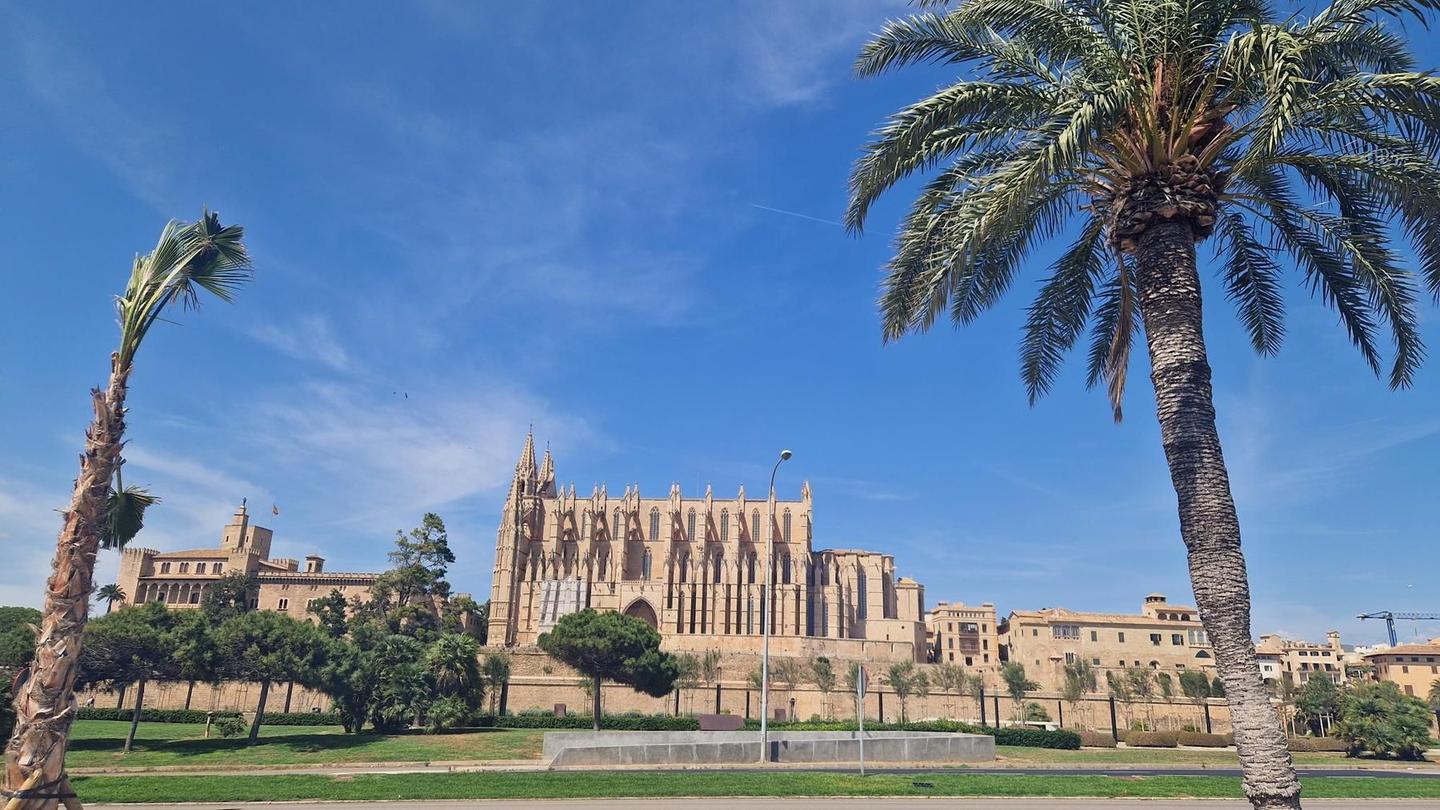
The route passes through several towns: Campanet (19.2 km), Moscari (21.6 km), Inca (27.4 km), Consell (40.5 km), and into Palma near the end. There is a longest stretch without café, shop, or water from km 28.7 to 42.4 (13.7 km). Multiple cafés, shops, bike shops, water points, toilets, and bailout stations are accessible mostly before and after this stretch. The finish in Palma offers bakeries, pubs, cafés, and a supermarket.
| Climb | Starts at | On this ride | Top on this ride |
|---|---|---|---|
| Unnamed climb | 17.2 km | 1.8 km · 64 m · 3.5 % · max 5.2 % | 116 m |
Mostly minor roads and streets on the map; 5.5 km is on main roads without a cycle lane.
No stretch is longer than 15 km without a café, shop or water. Along the route: 495 cafés and restaurants, 75 shops, 17 water points, 9 petrol stations, 8 public toilets and 35 bike shops.