Road · Belgium
Stage 3 of 18 · Rotterdam to Barcelona← Stage 2Stage 4 →
A rolling 76 km road cycling route from Anderlues, Wallonia to Couvin via Chimay through Au Roi des Belges, Lobbes and Reumont, with 458 m of climbing. 58% is on cycle paths or roads with a cycle lane.
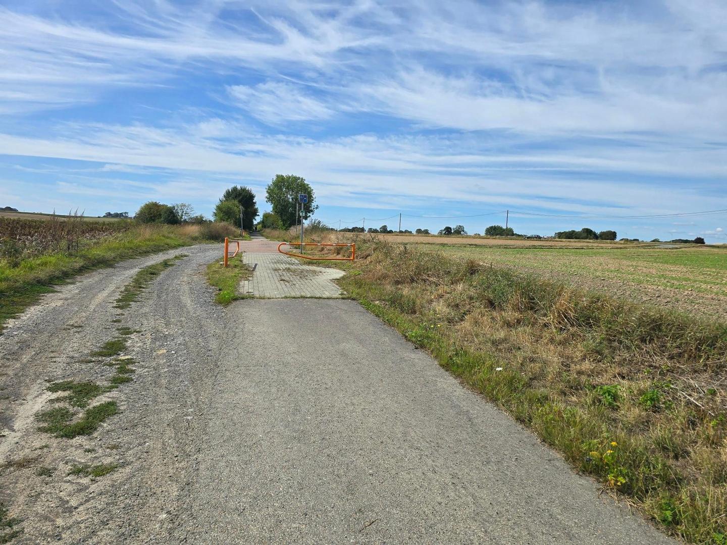
Starting near Fontaine-l'Évêque and Anderlues, the route heads through several towns including Lobbes and Thuin, making its way east towards Couvin. The road surfaces are mostly paved (89%) with some gravel or unpaved sections (9%) and a small portion unmapped (2%). The ride features a mix of cycle paths (43.1 km), quiet streets (9.1 km), minor roads (8.2 km), and shorter stretches on main roads (4.1 km) including 1.6 km on roads with speed limits of 80 km/h or more. Most main roads lack cycle lanes.
There is a steady climb towards the end from km 72.4 to 73.7, gaining 57 m at an average gradient of 4.3%, peaking at 299 m altitude. The profile is mostly flat (76%) with 13% climbing and 11% descending. The longest descent is 3 km starting from around km 9.4 dropping 80 m. Riders pass through towns like Chimay at km 61.4, and several places with cafés, shops and water early and mid-route, but face a longest stretch without café, shop or water of 16.5 km between km 40.2 and 56.7.
Food and drink options are plentiful near the start with cafés and bakeries in Anderlues and nearby. Notable stops include Le Beauchamp restaurant at km 56.7 and Taverne Le Galion café at km 61. Shops and supermarkets are available in several towns including Lidl at km 29.6 and Tournesol supermarket near Chimay. Toilets are located at km 12.3, 30.5 and 62.3. Two bailout points exist at Coron du Berger station (2.3 km) and the halt at Lobbes (12.2 km).
| Climb | Starts at | On this ride | Top on this ride |
|---|---|---|---|
| Unnamed climb | 72.4 km | 1.3 km · 57 m · 4.3 % · max 7.6 % | 299 m |
Much of the route is separated from traffic: 58% is on cycle paths or roads with a cycle lane.
The longest stretch without a café, shop or water is 17 km, from km 40 to 57. Along the route: 49 cafés and restaurants, 23 shops, 1 water point, 7 petrol stations, 3 public toilets and 2 bike shops.