Cyclists.com

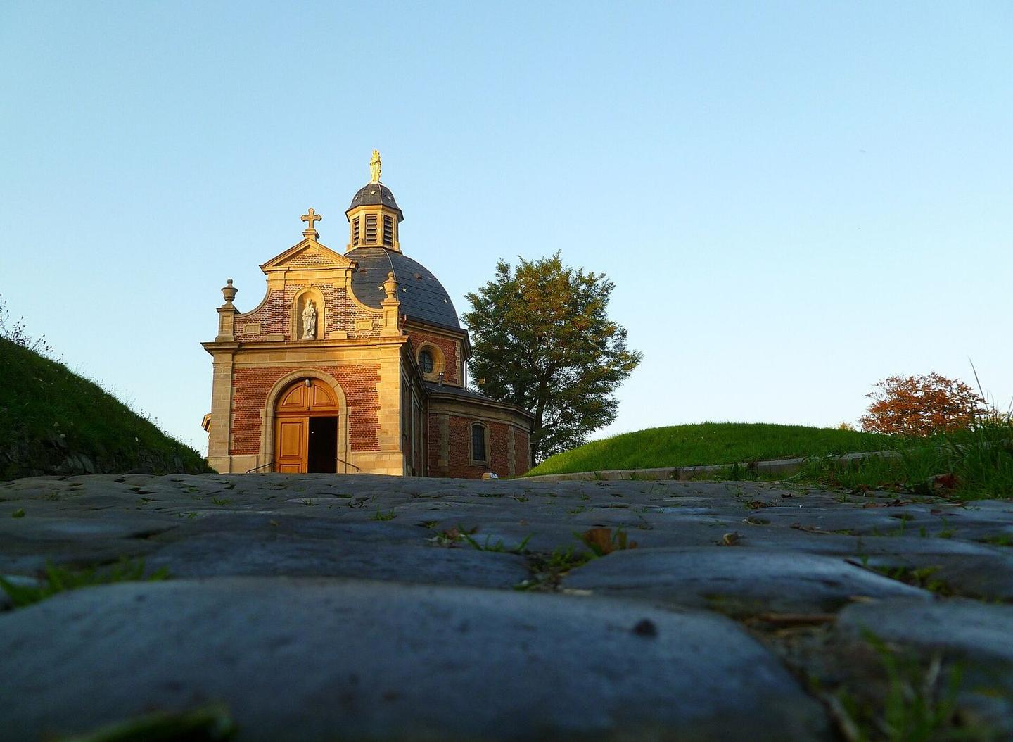
Muur van Geraardsbergen from Geraardsbergen

Geraardsbergen, BelgiumRoad

Routed from the map This classic road was traced on OpenStreetMap and measured against the terrain model; no member has recorded it yet. Ridden it? Add your recording and photos.

1 km
Distance
57 m
Elevation gain
Easy
Difficulty
Paved
Surface

Elevation profile

Total ascent
57 m
Distance
1 km
Elevation (m)0204060801000 km0.2 km0.4 km0.6 km0.8 km1 kmHighest point96 m at 0.9 kmStart0 kmFinish1 km

Route overview

Suitable for riders looking for a short, moderately steep climb of under 1 km and 57 m elevation gain.

A 0.9 km climb starting in Geraardsbergen, Belgium, rising 57 m to 95 m at Oudeberg.

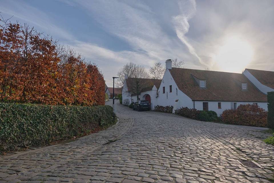
The ride begins in Geraardsbergen at an elevation of 38 m and immediately starts climbing. The route covers 0.9 km with a total elevation gain of 57 m, reaching a height of 95 m at the top near Oudeberg. The average gradient is 6.1%, with a maximum gradient of 7.2% and a steepest 500 m section averaging 8.6%. The surface is fully paved, and 74% of the route is on quiet streets. There is a brief 0.4 km stretch between 0.5 km and 0.9 km without access to cafés, shops, or water. Nearby amenities include a bakery named De Vesten at 0.3 km (27 m off-route) early in the climb, and multiple food and drink options are available at the start and finish points in Geraardsbergen. A petrol station and a castle named Kasteel Oudeberg lie near the top of the climb.

Highlights

  • Climb starting in Geraardsbergen
  • Summit near Oudeberg at 95 m
  • Kasteel Oudeberg castle near the top
  • Bakery De Vesten at 0.3 km

Along the route

Measured from the recorded track and OpenStreetMap.

Climbs

ClimbStarts atLengthGainAverageMaxTop
0 km0.9 km57 m6.1 %7.2 %95 m

High point 95 m at 0.9 km; low point 38 m. Passes beneath Oudeberg.

What this ride is like

Measured from OpenStreetMap along the track and the elevation profile.

Roads
74% quiet street
Surface
Paved throughout
Gradient
89% climbing · 11% descending · 0% flat
Steep sections
0.8 km over 5% · steepest 500 m averages 8.6% at 0 km

Along the way

Within a few hundred metres of the track, from OpenStreetMap. Opening hours change — treat this as where to look, not a promise.

Food, water and shops

  1. 0 kmNachtwinkel Millan · convenience store · 30 m off route
  2. 0 kmToilets · on the route
  3. 0 kmMultipharma · pharmacy · 70 m off route
  4. 0.3 kmDe Vesten · bakery · on the route
  5. 0.9 kmEsso · petrol station · 260 m off route

Need to bail out?

  • 0 kmGeraardsbergen (station), 780 m off route

Whether bikes are carried depends on the service — check before relying on it.

Worth a stop

  • 0.9 kmKasteel Oudeberg (castle)

At the start

  • Mattentaart Atelier · bakery · 60 m
  • De Vesten · bakery · 280 m
  • De Presse · pub · 60 m
  • The Preacher · pub · 30 m
  • Frituur Obelix · fast food · 40 m

At the finish

  • De Vesten · bakery · 290 m
  • ’t Klein Verschil · café · 250 m
  • Trapkes Op · pub · 220 m
  • De Muur · pub · 270 m
  • ’t Lorreintje · restaurant · 260 m

Stay after this ride

  • Casa Dodo · guest house · 550 m from the finish
  • Geraard · hotel · 1.0 km from the finish
  • Grupello · hotel · 1.0 km from the finish

Practical information

Surface
Paved
Route shape
Point to point
Riding time
4 min

Know before you go

  • 0.4 km without café, shop or water from km 0.5 to 0.9

Routes are for inspiration. Roads, surfaces and conditions change — check locally and ride within your limits.