Koppenberg from Melden
- 1 km
- 63 m
- Easy
- Paved
Elevation profile
- 63 m
- 1 km
Route overview
A very short climb suitable for riders seeking a brief ascent with moderate steepness.
A short 1.4 km climb from Melden to Koppenberg, Belgium, with 63 m elevation gain.
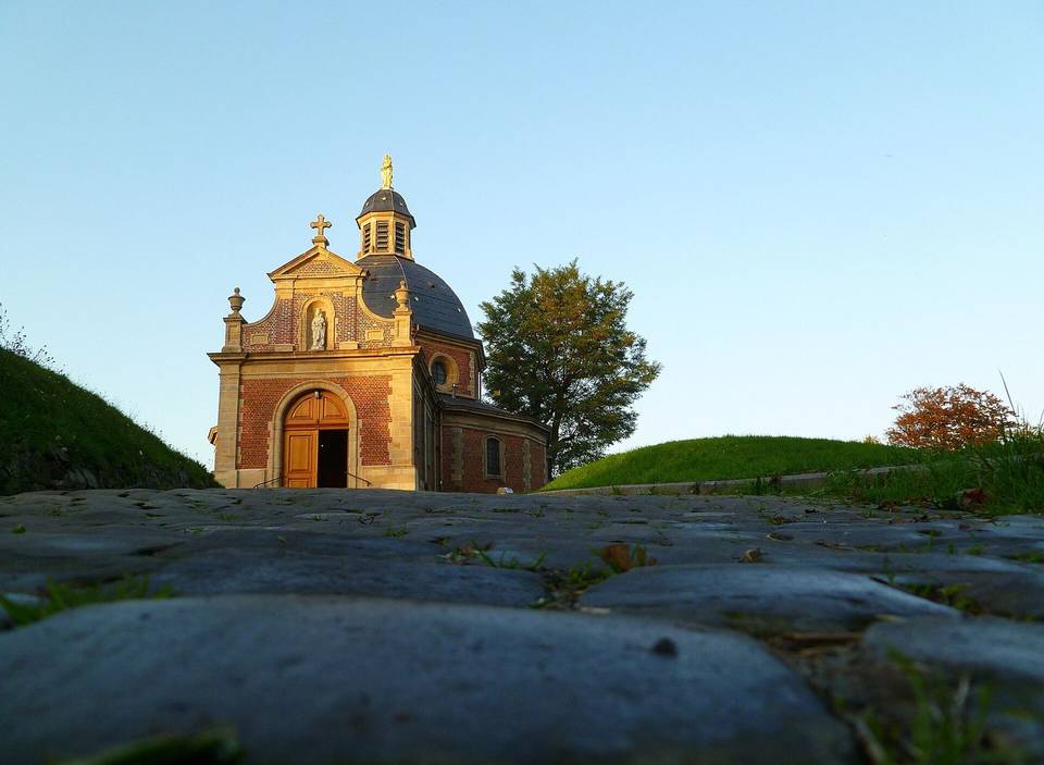
This route starts in Melden and climbs steadily to Koppenberg peak. The climb begins at 0.5 km and rises 62 m over 0.9 km, averaging 6.7% with a maximum gradient of 9.5%, reaching 74 m at the top. The steepest 500 m section, at 9.1%, is around 0.7 km into the ride. The route surface is mostly paved (93%) with a small gravel section (7%). The road is predominantly minor roads (76%). From 0.2 km to the route end at 1.4 km, there is a longest stretch of 1.2 km without a café, shop or water access, although the Koppenberg pub lies 32 m off route near the start at 0.2 km. At the start in Melden, there are several food and drink options including the Koppenberg pub, CaféLégumes restaurant, Kopain restaurant and Bar Blysss. Near the route end at 1.3 km lies the Koppenberg peak at 77 m and the Rotelenberg peak, both close to the road.
Highlights
- Climb from Melden to Koppenberg peak
- Steepest 500 m section at 9.1%
- Route climbs to 74 m elevation
- Koppenberg pub near start
Along the route
Climbs
| Climb | Starts at | Length | Gain | Average | Max | Top |
|---|---|---|---|---|---|---|
| — | 0.5 km | 0.9 km | 62 m | 6.7 % | 9.5 % | 74 m |
What this ride is like
- Roads
- 76% minor road
- Surface
- Paved throughout
- Gradient
- 64% climbing · 7% descending · 29% flat
- Steep sections
- 0.6 km over 5% · 0.4 km over 8% · steepest 500 m averages 9.1% at 0.7 km
Along the way
Food, water and shops
- 0.2 kmKoppenberg · pub · 30 m off route
Worth a stop
- 1.3 km — Koppenberg (peak, 77 m)
At the start
- Koppenberg · pub · 160 m
- CaféLégumes · restaurant · 150 m
- Kopain · restaurant · 150 m
- Bar Blysss · bar · 150 m
Stay after this ride
- Koppenherberg · guest house · 300 m from the finish
- Ayuryoga Wellnesshotel · hotel · 3.1 km from the finish
Practical information
- Paved
- Point to point
- 6 min
Know before you go
- 1.2 km stretch without café, shop or water from 0.2 km to 1.4 km
- 0.4 km on gravel surface
- 0.6 km climbing over 5%
- 0.4 km climbing over 8%