Cyclists.com

Couvin to Reims

Couvin, Wallonia, BelgiumRoad

121 km
Distance
869 m
Elevation gain
Hard
Difficulty
Paved
Surface
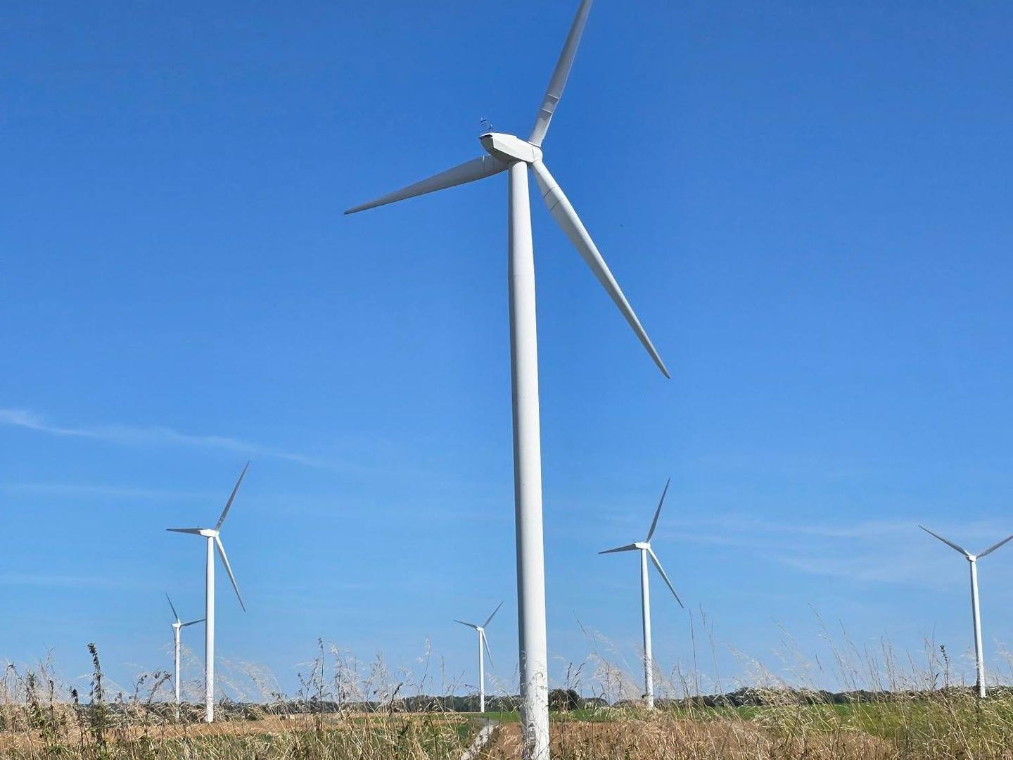
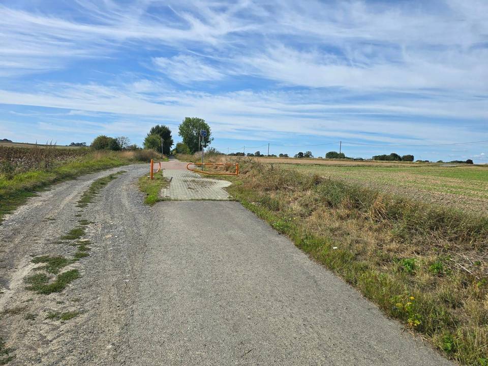
On the road: Couvin to Reims

Elevation profile

869 m over 121 km

Route overview

Suited to riders comfortable with a 120 km day, as the 869 m of climbing is modest and concentrated in the first half.

A 120.7 km point-to-point from Couvin in the Belgian Ardennes across the French border to the centre of Reims, with 869 m of climbing.

The ride leaves Couvin past Presgaux and climbs almost immediately: a 2.5 km rise from km 2.8 gains 82 m at 3.3% (5.4% maximum) to 334 m, and the high point of the route, 366 m, comes at km 8.1 shortly after Cul-des-Sarts. The French border falls between L'Escaillère and Regniowez, and the road then rolls through Éteignières, Auvillers-les-Forges and Girondelle, where a café at km 19 and drinking water at km 19.3 are the first supplies. From Liart at km 38.8 the route threads a dense sequence of small hamlets — Les Hénaux, Le Fréty, Solférino, Mainbressy — before Vaux-lès-Rubigny and Fraillicourt. Just over half the day's climbing (52%) is done in the first 60 km, and the terrain eases steadily through Renneville, Hannogne-Saint-Rémy and Banogne-Recouvrance. The closing third is the flattest: Le Thour, Villers-devant-le-Thour and Asfeld, where the route touches its lowest point of 61 m at km 90.8. Poilcourt-Sydney, Saint-Étienne-sur-Suippe and Bourgogne-Fresne lead to Bétheny and the outskirts of Reims, with restaurants and cafés thick on the ground from km 114.6 into the city centre at km 116.4.

Highlights

  • High point of 366 m at km 8.1, above Cul-des-Sarts
  • Belgium into France between L'Escaillère and Regniowez
  • Long flat run from Asfeld at the low point of 61 m
  • Finish in central Reims, with cafés from km 114.6

Along the route

Measured from the recorded track and OpenStreetMap.

Places passed· crosses into France

  1. Brûly-De-Pesche 5.1 km
  2. Cul-des-Sarts 9 km
  3. L'Escaillère 11.3 km
  4. Regniowez 12.3 km
  5. Gros Caillou 16.6 km
  6. Le Bas Taillis 18 km
  7. Le Haut Taillis 18 km
  8. Éteignières 19.3 km
  9. Mon-Idée 21 km
  10. La Forge 21.2 km
  11. Mon Plaisir 22.5 km
  12. Les Dorés 22.7 km
  13. Auvillers-les-Forges 22.9 km
  14. Foulzy 24.7 km
  15. Girondelle 26.1 km
  16. Marby 29.3 km
  17. Flaignes-les-Oliviers 31 km
  18. Havys 32.2 km
  19. Le Maipas 35.4 km
  20. Liart 38.8 km
  21. Les Bonnomets 39.5 km
  22. Le Bois de Haies 39.7 km
  23. Les Dupins 40.2 km
  24. Les Hamonts 40.2 km
  25. Les Hénaux 41.2 km
  26. La Férée 41.4 km
  27. Les Grands Cornaux 41.4 km
  28. La Viotte 42.4 km
  29. Le Champ de la Reine 43.3 km
  30. Le Fréty 44.3 km
  31. Le Mont d'Haye 44.8 km
  32. La Haute Bondé 45.6 km
  33. Thierry Pré 45.8 km
  34. Le Fief d'Arlois 46.5 km
  35. Le Beau Séjour 47.2 km
  36. La Blanche Gelée 47.5 km
  37. Solférino 47.7 km
  38. Les Duisettes 48 km
  39. Ribeauville 48.7 km
  40. Mainbressy 50.5 km
  41. Mainbresson 50.9 km
  42. La Croix Beliotte 51.2 km
  43. La Briqueterie 53.2 km
  44. Vaux-lès-Rubigny 53.5 km
  45. Raillimont 55.6 km
  46. Fraillicourt 61 km
  47. Renneville 63.6 km
  48. Waleppe 69.1 km
  49. Hannogne-Saint-Rémy 72.1 km
  50. Banogne-Recouvrance 76 km
  51. Recouvrance 76 km
  52. Banogne 76 km
  53. Le Thour 81.1 km
  54. Villers-devant-le-Thour 85.1 km
  55. Asfeld 90.7 km
  56. Vieux-lès-Asfeld 92.1 km
  57. Avaux 92.4 km
  58. Poilcourt-Sydney 96.2 km
  59. Le Mesnil 96.4 km
  60. Saint-Étienne-sur-Suippe 100.2 km
  61. La Rue Basse 100.7 km
  62. Bourgogne-Fresne 105.1 km
  63. Bétheny 112.8 km
  64. Épinettes 113.6 km
  65. Le Petit Bétheny 114.3 km
  66. Tunisie 114.6 km
  67. Port Sec 115 km
  68. Jamin 115.3 km
  69. Reims 116.4 km
  70. Saint-Remi 116.8 km
  71. Wilson 117.5 km

On the road

  • Le Bistrot (Café) 19 km
  • Water 19.3 km
  • Elan (Fuel station) 38.6 km
  • Café Jean (Restaurant) 38.6 km
  • Water 76 km
  • Water 76 km
  • Total (Fuel station) 91.1 km
  • Water 96.2 km
  • Le Neuf (Restaurant) 114.6 km
  • A la table de Fred (Restaurant) 114.8 km
  • La vieille Champagne (Restaurant) 114.8 km
  • Water 114.8 km

Climbs

Starts atLengthGainAverageMaxTop
2.8 km2.5 km82 m3.3 %5.4 %334 m

High point 366 m at 8.1 km; low point 61 m.

Practical information

Surface
Paved
Route shape
Point to point
Riding time
6–8½ hours riding

Know before you go

  • Border crossing from Belgium into France at around km 12
  • No café or shop listed between km 38.6 and km 76; water at Banogne-Recouvrance
  • 29 °C recorded in September on this route

Routes are for inspiration. Roads, surfaces and conditions change — check locally and ride within your limits.

10 photographs from the road

Part of