Road · France
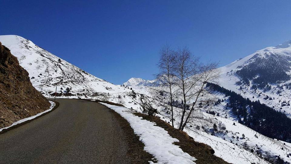
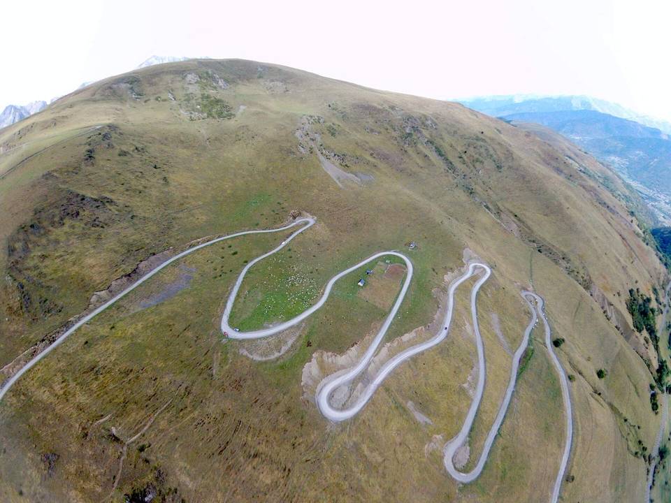
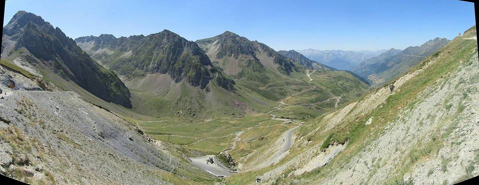
A mountainous 11 km road cycling route from Arreau through Aspin-Aure, with 780 m of climbing over Cap d'Arrouye. Most of it (8.6 km) is on main roads without a cycle lane.
The ride starts in Arreau at 701 m and heads to Pailhac after 0.6 km. From there, the main climb begins and continues for 10.8 km gaining 774 m to reach the Col d'Aspin at 1482 m. The route mainly follows the D 918 road for 8 km of the climb, with 8.4 km on main roads without a cycle lane, and 2.7 km on minor roads. The road surface is mostly paved (98%) with a very small 2% portion of gravel or unpaved sections.
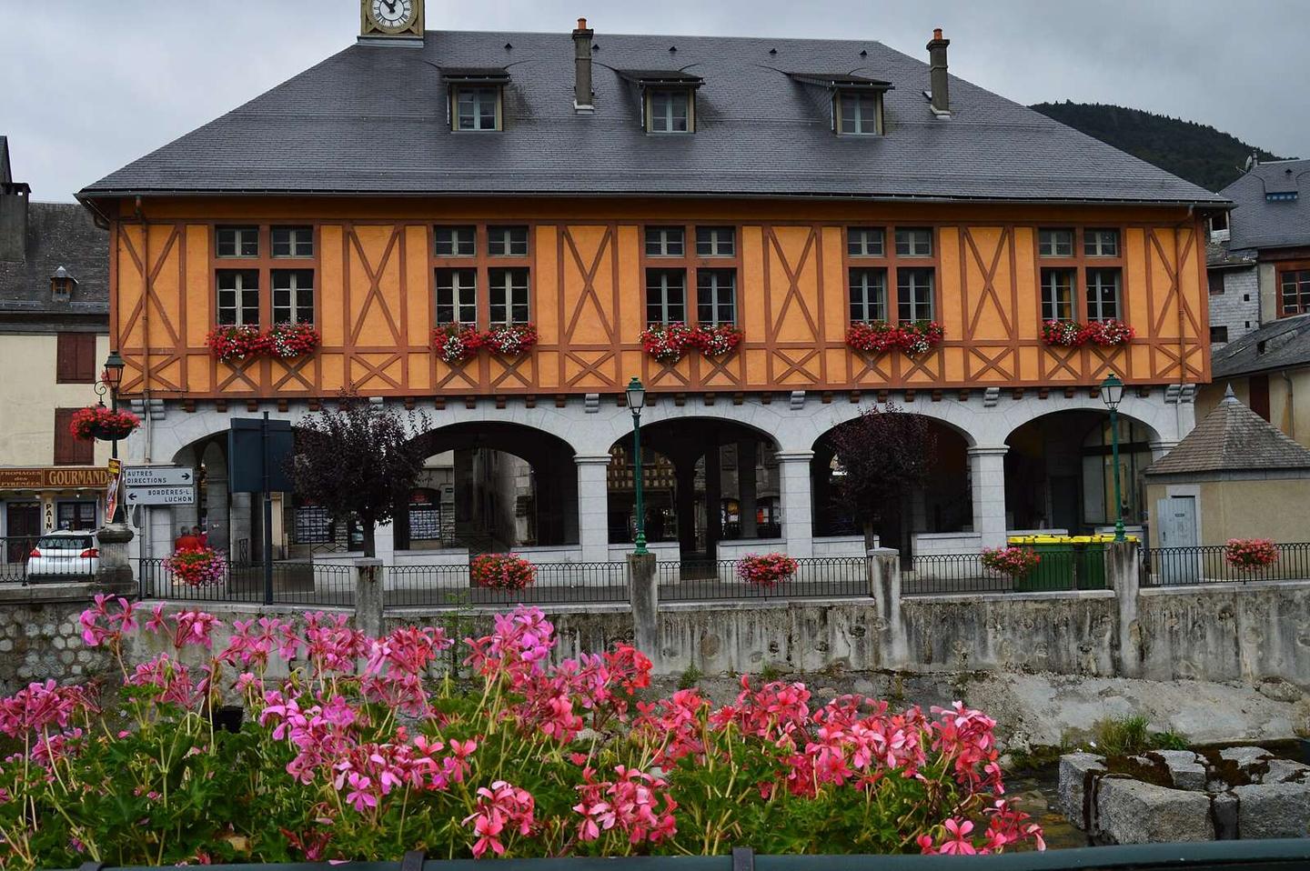
Climbing dominates the profile, with 95% of the route uphill, including 9 km above 5% gradient, 3.6 km above 8%, and 0.7 km above 10%, reaching maximum gradients of 11.5%. After Aspin-Aure village at 4.2 km, there is a longest stretch of 7.2 km with no café, shop or water. Arreau offers several facilities near the start including supermarkets, bike shop, bakery, cafés, and toilets. Peaks near the road include Cap d'Arrouye at 10.6 km, beneath which the road passes.
| Climb | Starts at | On this ride | Full ascent | Top on this ride |
|---|---|---|---|---|
| Cap d'Arrouye | 0.6 km | 10.8 km · 774 m · 7.2 % · max 11.5 % | 10.8 km · 774 m · 7.2 % | 1482 m |
This is not a cycle-track route: 75% is on main roads without a cycle lane. Riders should be comfortable sharing the road with faster traffic.
No stretch is longer than 15 km without a café, shop or water. Along the route: 10 cafés and restaurants, 2 shops, 5 water points, 1 petrol station, 4 public toilets and 1 bike shop.