Cyclists.com

Ax 3 Domaines from Ax-les-Thermes

Ax-les-Thermes, FranceRoad

Routed from the map This classic road was traced on OpenStreetMap and measured against the terrain model; no member has recorded it yet. Ridden it? Add your recording and photos.

8 km
Distance
663 m
Elevation gain
Easy
Difficulty
Paved
Surface

Elevation profile

Total ascent
663 m
Distance
8 km
Elevation (m)02505007501,0001,2501,5000 km2 km4 km6 km8 kmHighest point1,381 m at 8.4 kmStart0 kmFinish8 km

Route overview

Suitable for riders who want a short but steep climb with over 660 m of elevation gain in under 9 km.

An 8.4 km point-to-point climb from Ax-les-Thermes to 1380 m at Ax 3 Domaines in France.

Starting from Ax-les-Thermes at 717 m, the route climbs steadily for 8.4 km to reach 1380 m at Ax 3 Domaines. The climb covers an elevation gain of 663 m with an average gradient of 7.9%, including sustained sections over 5% (7.4 km), 8% (4.9 km), and a maximum gradient of 10.9% over 1.2 km. It follows the mainly minor road D 82 for 7.9 km, which is paved for 99% of the route and almost entirely uphill with 99% climbing and only 1% descending. There is a notable 6.6 km stretch between km 0.5 and 7.1 without cafés, shops, or water, so riders should prepare accordingly. At the start in Ax-les-Thermes, facilities include multiple restaurants, cafés, a bar, a bakery (Saveurs D'Ariège), and a convenience store (Proxi), all within a few metres of the route. Near the finish, around km 8.3, there is a supermarket (Sherpa), restaurants, and fast food options along with drinking water and toilets close by.

Highlights

  • Climb to 1380 m at Ax 3 Domaines
  • Sustained average gradient of 7.9% over 8.4 km
  • Paved minor road D 82
  • Start in Ax-les-Thermes with bakery and convenience store

Along the route

Measured from the recorded track and OpenStreetMap.

Climbs

ClimbStarts atLengthGainAverageMaxTop
Ax-les-Thermes climb0.1 km8.4 km662 m7.9 %10.9 %1380 m

High point 1380 m at 8.4 km; low point 717 m.

Ax-les-Thermes climb · starts at 0.1 km

8.4 km at 7.9% · 662 m
8009001000110012001300ELEVATION (M)9.6%8.3%7.9%9.9%8.4%5.6%6.9%0 km12345678.3 kmDISTANCE (KM)Ax-les-Thermes climb · 1,380 mSTEEPEST 9.9%
< 4%4 – 7%7 – 10%> 10%

What this ride is like

Measured from OpenStreetMap along the track and the elevation profile.

Roads
94% minor road
Main roads used
D 82 (8 km)
Surface
Paved throughout
Gradient
99% climbing · 1% descending · 0% flat
Steep sections
7.4 km over 5% · 4.9 km over 8% · 1.2 km over 10%

Along the way

Within a few hundred metres of the track, from OpenStreetMap. Opening hours change — treat this as where to look, not a promise.

Food, water and shops

  1. 0 kmLa Fontaine des Neiges · spring · 40 m off route
  2. 0 kmToilets · 90 m off route
  3. 0 kmPharmacie Aybram · pharmacy · 90 m off route
  4. 0.1 kmSaveurs D'Ariège · bakery · on the route
  5. 0.1 kmProxi · convenience store · on the route
  6. 8.3 kmLa Troïka · restaurant · on the route
  7. 8.3 kmSherpa · supermarket · 30 m off route
  8. 8.3 kmDrinking water · on the route
  9. 8.4 kmToilets · 40 m off route

Need to bail out?

  • 0.5 kmAx-les-Thermes (station), 350 m off route

Whether bikes are carried depends on the service — check before relying on it.

At the start

  • Saveurs D'Ariège · bakery · 50 m
  • Sur le Pouce · café · 100 m
  • Le P'tit Montagnard · restaurant · 60 m
  • Proxi · convenience store · 60 m
  • Le Comptoir des Négociants · bar · 60 m

At the finish

  • Sherpa · supermarket · 100 m
  • Le Refuge · restaurant · 40 m
  • L'Atelier · restaurant · 60 m
  • Sandwicherie Snack · fast food · 70 m
  • Le Croq'Soleil · fast food · 60 m

Stay after this ride

  • Résidence Goélia Les Balcons d'Ax · apartment · 200 m from the finish
  • Aire de bivouac du "Pla del Bau" · campsite · 690 m from the finish
  • Résidence Goélia Les Grands Ax · apartment · 2.7 km from the finish
  • La Terrasse Bleue · apartment · 2.9 km from the finish
  • Aurore Studio · apartment · 2.9 km from the finish

Practical information

Surface
Paved
Route shape
Point to point
Riding time
36 min
Best months
May to Oct — daily highs of 18–25 °C in those months

Know before you go

  • 6.6 km stretch without café, shop, or water between km 0.5 and 7.1

Routes are for inspiration. Roads, surfaces and conditions change — check locally and ride within your limits.

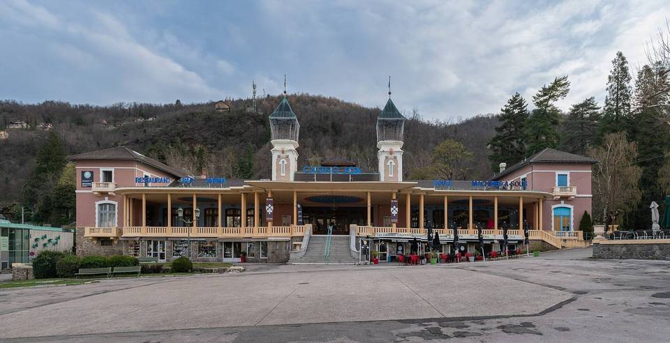
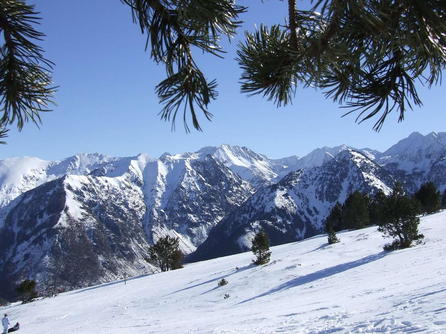
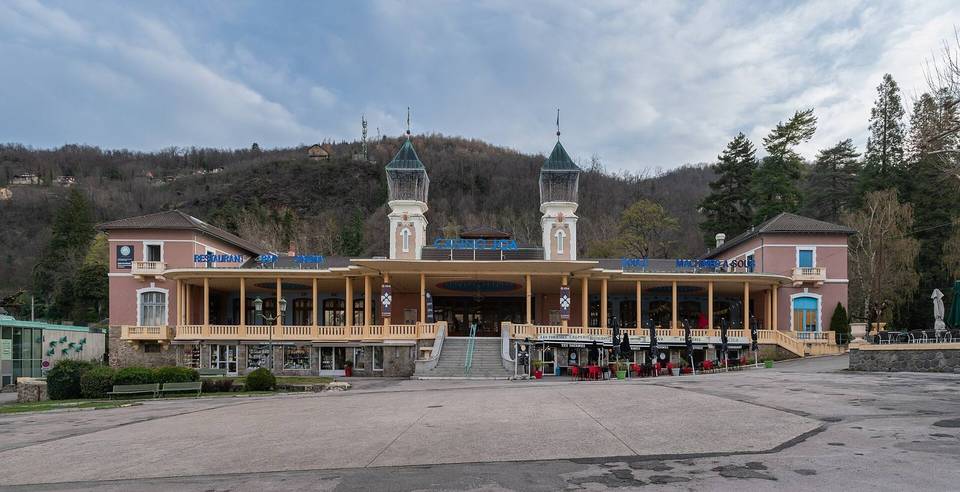
2 photographs from the road

Photo: Sébastien D'ARCO · CC BY-SA 2.5 · Wikimedia Commons · Photo: Skola19 · CC BY-SA 4.0 · Wikimedia Commons · Photo: Maxime Lorant · CC BY-SA 4.0 · Wikimedia Commons

More rides from Ax-les-Thermes