Cyclists.com

Col de Puymorens from Ax-les-Thermes

Ax-les-Thermes, FranceRoad

Routed from the map This classic road was traced on OpenStreetMap and measured against the terrain model; no member has recorded it yet. Ridden it? Add your recording and photos.

28 km
Distance
1,195 m
Elevation gain
Moderate
Difficulty
Paved
Surface

Elevation profile

Total ascent
1,195 m
Distance
28 km
Elevation (m)05001,0001,5002,0000 km10 km20 km28 kmHighest point1,916 m at 28.4 kmStart0 kmFinish28 km

Route overview

This route suits cyclists prepared for a sustained, steady climb with moderate distance and significant elevation gain.

28.4 km climb from Ax-les-Thermes to Col de Puymorens in France, gaining 1195 m to 1915 m elevation.

The ride starts in Ax-les-Thermes at 720 m elevation and climbs steadily for 28.3 km to Col de Puymorens at 1915 m. The ascent gains 1195 m with an average gradient of 4.2% and a maximum of 8%. About 46% of the climbing is in the first half. The road is fully paved, mainly on main roads (88%), including 15.9 km on the N 20, 6.1 km on the N 320, and 3.9 km on the N 22. There is 27.6 km on main roads without cycle lanes and 13.8 km on fast roads with posted limits over 80 km/h.

Highlights

  • Col de Puymorens at 1915 m
  • Start at Ax-les-Thermes at 720 m
  • Longest stretch without café/shop/water: 9.1 km
  • Ridden for 15.9 km along the N 20

Along the route

Measured from the recorded track and OpenStreetMap.

Climbs

ClimbStarts atLengthGainAverageMaxTop
Ax-les-Thermes climb0 km28.3 km1195 m4.2 %8 %1915 m

High point 1915 m at 28.3 km; low point 720 m.

Ax-les-Thermes climb · starts at 0 km

28.3 km at 4.2% · 1195 m
80010001200140016001800ELEVATION (M)3.7%3.8%4.0%2.9%2.8%2.8%2.9%4.0%4.0%3.5%4.2%4.4%5.3%4.3%4.5%4.2%4.0%5.5%4.7%4.9%4.6%4.8%5.2%5.4%0 km123456789101112131415161718192021222324252628.0 kmDISTANCE (KM)Ax-les-Thermes climb · 1,915 mSTEEPEST 5.5%
< 4%4 – 7%7 – 10%> 10%

What this ride is like

Measured from OpenStreetMap along the track and the elevation profile.

Roads
88% main road · 9% major road
Main roads
27.6 km on main roads without a cycle lane — likely busier
Fast roads
13.8 km on roads with a limit of 80 km/h or more
Main roads used
N 20 (16 km), N 320 (6 km), N 22 (4 km)
Surface
Paved throughout
Gradient
96% climbing · 0% descending · 3% flat
Steep sections
6.3 km over 5% · 0.3 km over 8%

Along the way

Within a few hundred metres of the track, from OpenStreetMap. Opening hours change — treat this as where to look, not a promise.

Food, water and shops

  1. 0 kmSaveurs D'Ariège · bakery · on the route
  2. 0 kmProxi · convenience store · 40 m off route
  3. 0 kmPharmacie Aybram · pharmacy · 90 m off route
  4. 0.1 kmLa Fontaine des Neiges · spring · on the route
  5. 0.1 kmToilets · 60 m off route
  6. 8.2 kmLa Gare des Vals · bar · 80 m off route
  7. 8.7 kmDrinking water · on the route
  8. 17.9 kmLe Fournil de Louise · bakery · on the route
  9. 18.1 kmHospicerie · convenience store · on the route
  10. 18.2 kmToilets · on the route
  11. 18.3 kmService de remplissage reservoir d'eau · water point · on the route
  12. 21.4 kmSpring · 80 m off route

Need to bail out?

  • 0 kmAx-les-Thermes (station), 710 m off route
  • 8.2 kmMérens-les-Vals (halt), 90 m off route
  • 17.8 kmAndorre - L'Hospitalet (station), 40 m off route

Whether bikes are carried depends on the service — check before relying on it.

Worth a stop

  • 0.4 kmTurbine centrale du Teich (viewpoint)
  • 28.2 kmBarraque de la Douane (ruins)

At the start

  • Saveurs D'Ariège · bakery · 50 m
  • Sur le Pouce · café · 100 m
  • Le P'tit Montagnard · restaurant · 60 m
  • Proxi · convenience store · 60 m
  • Le Comptoir des Négociants · bar · 60 m

Stay after this ride

  • Hôtel Restaurant du Puymorens · hotel · 3.2 km from the finish
  • Gîte L'Hospitalité · guest house · 3.2 km from the finish
  • La Porte des Cimes · campsite · 3.6 km from the finish
  • La Rivière · campsite · 2.5 km from the finish

Practical information

Surface
Paved
Route shape
Point to point
Riding time
2 h 02 min
Best months
May to Oct — daily highs of 18–25 °C in those months

Know before you go

  • Longest stretch without café, shop, or water for 9.1 km (km 8.8 to 17.9)
  • 27.6 km on main roads without cycle lanes
  • 13.8 km on roads with speed limits 80 km/h or more

Routes are for inspiration. Roads, surfaces and conditions change — check locally and ride within your limits.

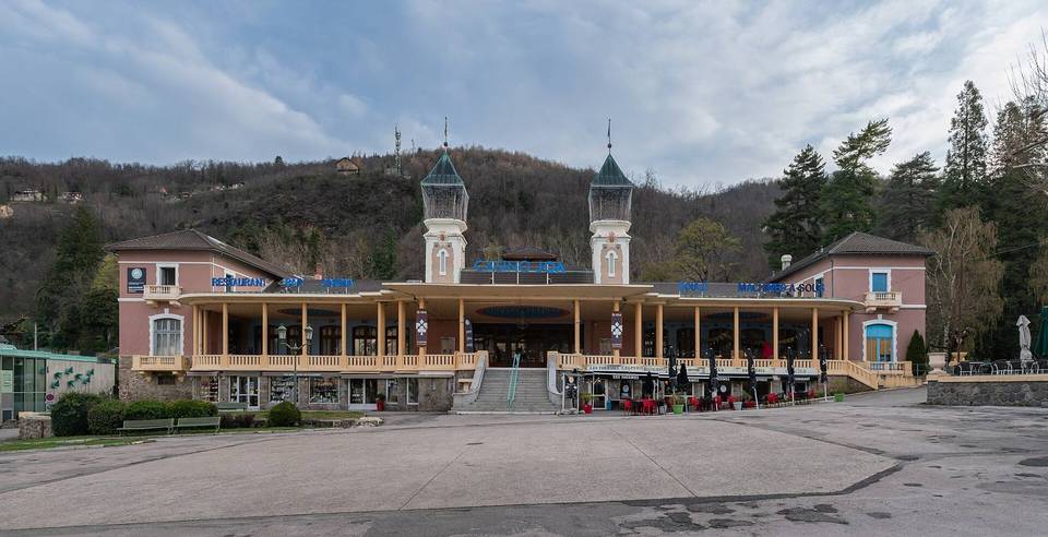
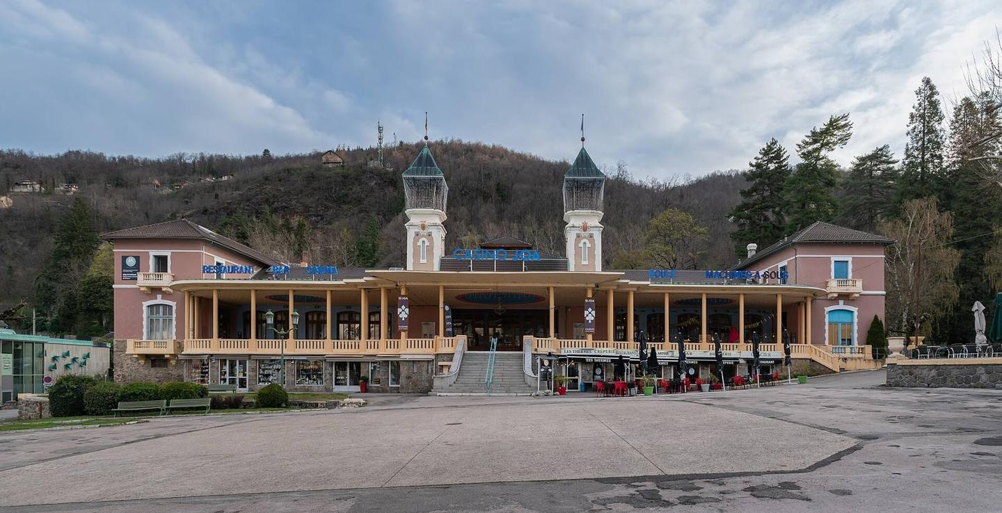
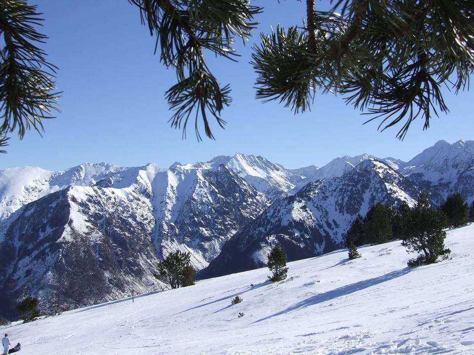
2 photographs from the road

Photo: Titiloulou · CC BY-SA 3.0 · Wikimedia Commons · Photo: Olybrius · CC BY-SA 4.0 · Wikimedia Commons · Photo: Alan Mattingly · CC0 · Wikimedia Commons

More rides from Ax-les-Thermes