Road · France
A mountainous 14 km road cycling route from Bagnères-de-Luchon through Cazarilh-Laspènes, Trébons-de-Luchon and Saint-Aventin, with 944 m of climbing over Sommet de Lampet. Most of it (10.5 km) is on main roads without a cycle lane.
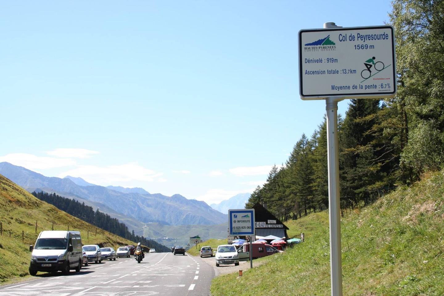
Starting in Bagnères-de-Luchon at 634 m elevation, the route climbs 13.9 km gaining 942 m to reach Col de Peyresourde at 1578 m. The average gradient is 6.8% with a maximum of 10.4%, mainly climbing for 99% of the route. The profile rises steadily beneath Sommet de Lampet near the top. The road is mostly paved (96%) with 2% gravel or unpaved sections. It is primarily on main roads (75%), all on D 618, with 10.5 km on main roads without a cycle lane, and 1.6 km with a cycle lane. There are also 1.1 km on quiet streets. Along the way, towns passed include Cazarilh-Laspènes (1.7 km), Saint-Aventin (5.4 km), Garin (7.8 km) and Portet-de-Luchon (10.7 km). The longest stretch without a café, shop or water is 5.9 km from 8.2 km to 14.1 km. At the start, there are food and drink options including Patisserie-Boulangerie Pène and several bakeries in Bagnères-de-Luchon. At the top, the Crêperie du col de Peyresourde is available.
| Climb | Starts at | On this ride | Full ascent | Top on this ride |
|---|---|---|---|---|
| Sommet de Lampet | 0.2 km | 13.9 km · 942 m · 6.8 % · max 10.4 % | 13.9 km · 942 m · 6.8 % | 1578 m |
This is not a cycle-track route: 74% is on main roads without a cycle lane. Riders should be comfortable sharing the road with faster traffic.
No stretch is longer than 15 km without a café, shop or water. Along the route: 29 cafés and restaurants, 5 shops, 11 water points, 2 public toilets and 1 bike shop.