Road · France
A mountainous 18 km road cycling route from Bagnères-de-Luchon through Saint-Mamet and L'Ourson, with 1,157 m of climbing over the Saint-Mamet climb.
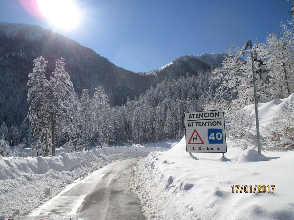
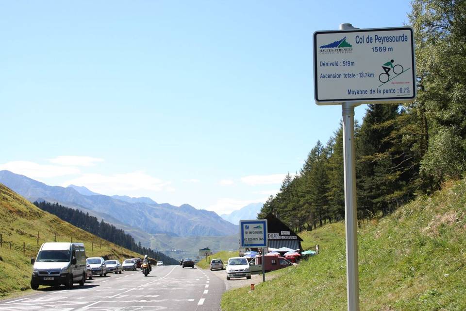
This is an 18.2 km point-to-point climb from Bagnères-de-Luchon to Superbagnères in France. The route starts at 632 m elevation and climbs steadily to 1789 m, gaining 1157 m. The main climb of 17.3 km averages 6.7% gradient, with a maximum of 11% and 12.8 km over 5%, including 5.3 km over 8% and 1.7 km over 10%. About 93% of the road is minor roads with 3% as paths, and 97% of the surface is paved. The longest named roads are D 46 for 12.4 km and D 125 for 4.3 km. There are 2.6 km on fast roads with speed limits of 80 km/h or more.
The route passes through Saint-Mamet at 1.2 km and continues through a long stretch of nearly 16 km with no café, shop or water after the first kilometre. At the start in Bagnères-de-Luchon there are multiple cafés, bakeries, and a supermarket near the route. At the finish, there are several restaurants and fast food options. Water and toilets are available at the start and finish. A bike shop and a bail-out station are both located in Bagnères-de-Luchon.
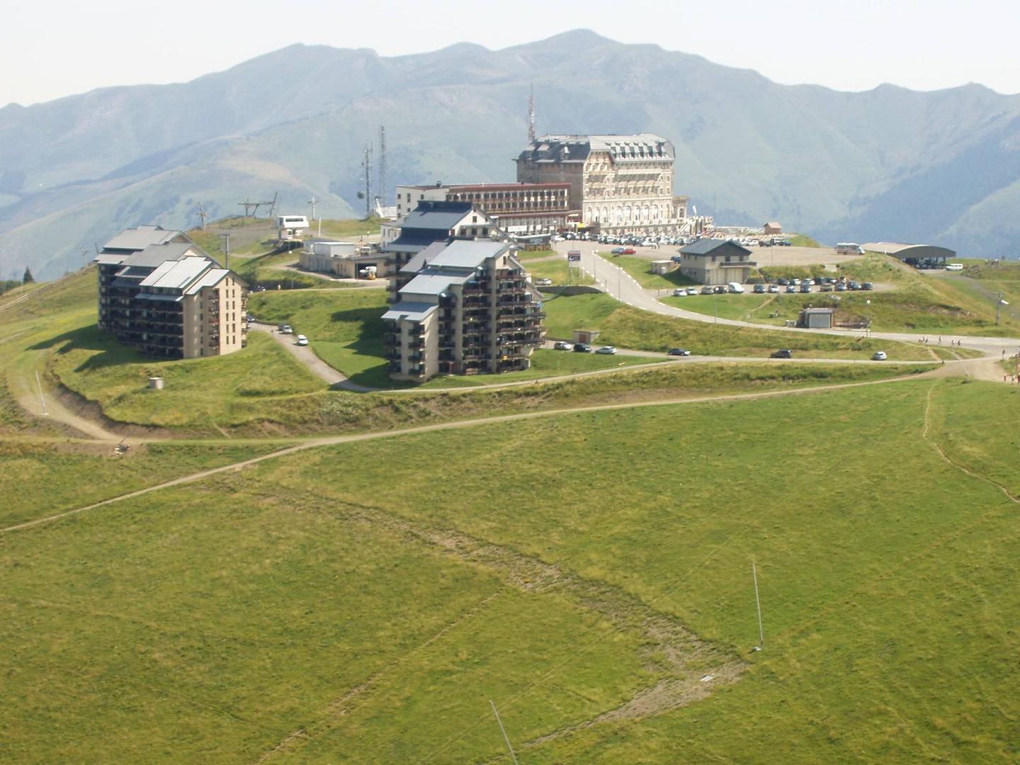
Highlights near the route include the Tour de Castel-Vielh castle at 3.2 km and a viewpoint, the Table d'orientation, close to the finish. The climb is mostly steady with little flat or descending section (1%).
| Climb | Starts at | On this ride | Full ascent | Top on this ride |
|---|---|---|---|---|
| Saint-Mamet climb | 0.9 km | 17.3 km · 1152 m · 6.7 % · max 11 % | 17.3 km · 1152 m · 6.7 % | 1789 m |
Mostly minor roads and streets on the map.
The longest stretch without a café, shop or water is 16 km, from the start. Along the route: 42 cafés and restaurants, 5 shops, 7 water points, 7 public toilets and 1 bike shop.