Road · France
A mountainous 20 km road cycling route from Barcelonnette through Le Plan, Bréguet and Cornille, with 1,114 m of climbing over Le Signal. Most of it (18.1 km) is on main roads without a cycle lane, 1.4 km where the limit is 80 km/h or more.
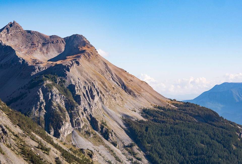
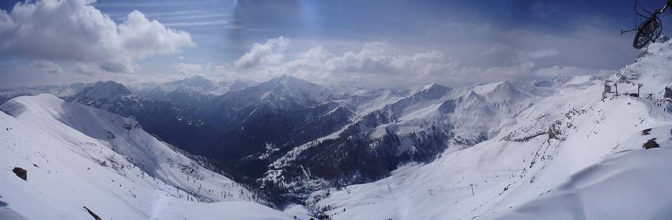
The route starts at Barcelonnette and soon passes places including La Gravette, Le Plan, Bréguet, and Uvernet. After about 1.9 km, the main climb begins and continues for 17.9 km, gaining 1111 m to the summit at 2240 m beneath Le Signal (2361 m). The climb averages 6.2% with some sections up to 9%. The road surface is almost fully paved (98%) with a small 2% unpaved section. About 93% of the route is on main roads, mainly the D 908, with no cycle lanes on those main roads and 1.5 km on roads with speed limits of 80 km/h or more.
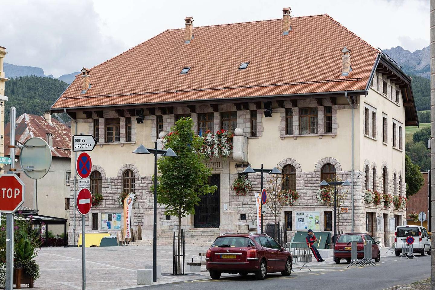
The elevation profile shows the lowest point at 1126 m near the start, with nearly half the climbing in the second half. The route has 14.8 km over 5% gradient and nearly 2 km over 8%. Along the route, there are seven places and four shops, including a Carrefour Market near the start, and two restaurants at 4.6 km and near the summit. Water sources are available at 0.3 km, 4.2 km, and 12.9 km. Toilets and bike shops are present near the beginning, but the longest stretch without café, shop or water is 8.3 km between 4.6 and 12.9 km.
This is not a cycle-track route: 91% is on main roads without a cycle lane, 1.4 km of it where the limit is 80 km/h or more. Riders should be comfortable sharing the road with faster traffic.
No stretch is longer than 15 km without a café, shop or water. Along the route: 41 cafés and restaurants, 4 shops, 4 water points, 1 petrol station, 4 public toilets and 3 bike shops.