Cyclists.com

Col de la Cayolle from Barcelonnette

Barcelonnette, FranceRoad

Routed from the map This classic road was traced on OpenStreetMap and measured against the terrain model; no member has recorded it yet. Ridden it? Add your recording and photos.

30 km
Distance
1,198 m
Elevation gain
Moderate
Difficulty
Paved
Surface

Elevation profile

Total ascent
1,198 m
Distance
30 km
Elevation (m)05001,0001,5002,0002,5000 km10 km20 km30 kmHighest point2,325 m at 29.6 kmStart0 kmFinish30 km

Route overview

Cyclists prepared for a sustained 29.6 km climb with moderate gradients and significant elevation gain.

29.6 km climb from Barcelonnette to Col de la Cayolle, gaining 1198 m on mostly paved, main roads.

Starting in Barcelonnette, the route passes through several small places including La Gravette, Le Plan, Bréguet, Cornille, and Uvernet before reaching Fuveau around 12 km. The road is predominantly main road, specifically the D 902, which covers 28.9 km of the ride. Almost the entire route is paved, with only 1% unpaved sections. The main climb begins around km 2.5 and continues for 26.9 km, gaining 1183 m at an average gradient of 4.4% with a maximum of 8.6%, summiting at 2325 m around km 29.4. The profile shows 90% climbing with flat sections making up 10% but no descending. There is a long 11.7 km stretch from km 4.3 to km 16 without cafés, shops, or water. At the start in Barcelonnette there are multiple cafés, patisseries, and bakeries including Maison Padiou and Café de la Paix. A supermarket, Carrefour Market, is near km 0.1 off route. Drinking water is available at km 0.3, 4.3, 17, and 28.5. Toilets can be found close to the start and near km 4. A bike shop and petrol station lie near km 0.7.

Highlights

  • Col de la Cayolle summit at 2325 m
  • Long 26.9 km climb averaging 4.4%
  • Passes through Barcelonnette and Uvernet
  • Paved main road (D 902) almost entire way

Along the route

Measured from the recorded track and OpenStreetMap.

Places passed

  1. Cornille 2.1 km
  2. La Combe 3.4 km
  3. La Tour 3.5 km
  4. La Tourrache 4 km
  5. Uvernet 4.3 km
  6. Fuveau 12.2 km
  7. Le Vésinat 12.5 km
  8. Le Serret 12.5 km
  9. Les Chalons 12.7 km
  10. Le Serre 12.8 km
  11. Les Maurels 17.9 km
  12. Le Collet 18 km
  13. Les Girards 18.5 km
  14. Les Longs et les Chiclets 18.6 km
  15. Les Ricauds 19.5 km
  16. Les Juans 19.7 km
  17. Les Gaillards 19.8 km
  18. Malbosc 19.8 km
  19. Bayasse 20.3 km

Climbs

ClimbStarts atLengthGainAverageMaxTop
Cornille climb2.5 km26.9 km1183 m4.4 %8.6 %2325 m

High point 2325 m at 29.4 km; low point 1126 m.

Cornille climb · starts at 2.5 km

26.9 km at 4.4% · 1183 m
120014001600180020002200ELEVATION (M)4.7%3.1%5.5%3.7%4.0%6.0%4.8%3.4%3.0%4.6%2.1%2.0%2.2%6.2%4.4%3.8%4.3%7.6%7.3%6.9%7.1%0 km1234567891011121314151617181920212223242526.8 kmDISTANCE (KM)Cornille climb · 2,325 mSTEEPEST 7.6%
< 4%4 – 7%7 – 10%> 10%

What this ride is like

Measured from OpenStreetMap along the track and the elevation profile.

Roads
96% main road · 2% road with cycle lane
Main roads
28.3 km on main roads without a cycle lane — likely busier
Main roads used
D 902 (29 km)
Surface
Paved throughout
Gradient
90% climbing · 0% descending · 10% flat
Steep sections
9.6 km over 5% · 0.6 km over 8%

Along the way

Within a few hundred metres of the track, from OpenStreetMap. Opening hours change — treat this as where to look, not a promise.

Food, water and shops

  1. 0 kmMaison Padiou · patisserie · 70 m off route
  2. 0 kmToilets · 190 m off route
  3. 0 kmPharmacie Bureau · pharmacy · 90 m off route
  4. 0.1 kmCarrefour Market · supermarket · 120 m off route
  5. 0.3 kmDrinking water · 60 m off route
  6. 0.7 kmGranphi · bike shop · 240 m off route
  7. 0.7 kmGarage de Restefond · petrol station · 230 m off route
  8. 4 kmToilets · on the route
  9. 4.3 kmL'Auberge du Bachelard · restaurant · on the route
  10. 4.3 kmDrinking water · on the route
  11. 17 kmDrinking water · on the route
  12. 28.5 kmDrinking water · on the route

At the start

  • Maison Padiou · patisserie · 70 m
  • Boulangerie Mazan · bakery · 40 m
  • Bar du Glacier · café · 50 m
  • La Tourtonerie · patisserie · 90 m
  • Fournil Fleurs de Mélèze · bakery · 140 m

Practical information

Surface
Paved
Route shape
Point to point
Riding time
2 h 07 min
Best months
Jul to Sep — daily highs of 20–25 °C in those months

Know before you go

  • 11.7 km without café, shop or water from km 4.3
  • 28.3 km on main roads without a cycle lane
  • 0.6 km with gradient over 8%
  • 0.1 km with gradient over 10%

Routes are for inspiration. Roads, surfaces and conditions change — check locally and ride within your limits.

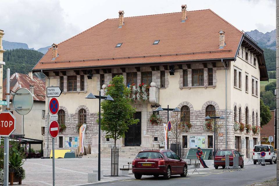
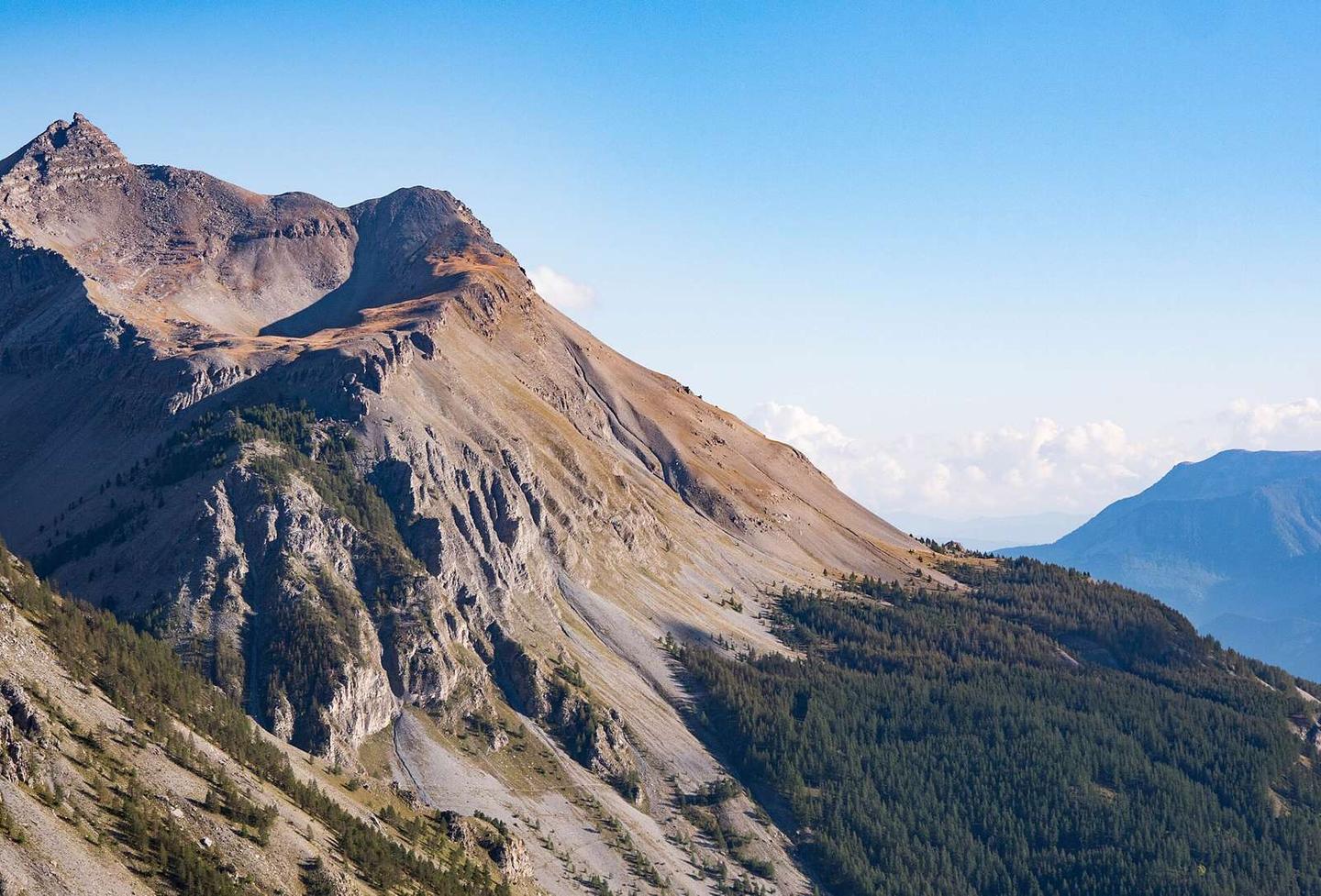
2 photographs from the road

Photo: SchiDD · CC BY-SA 4.0 · Wikimedia Commons · Photo: Zairon · CC BY 4.0 · Wikimedia Commons

More rides from Barcelonnette