Road · France
A mountainous 21 km road cycling route from Beaufort through Beaubois, with 1,257 m of climbing over the La Glirettaz climb and the Beaufort climb. Most of it (19.9 km) is on main roads without a cycle lane, 1 km where the limit is 80 km/h or more.
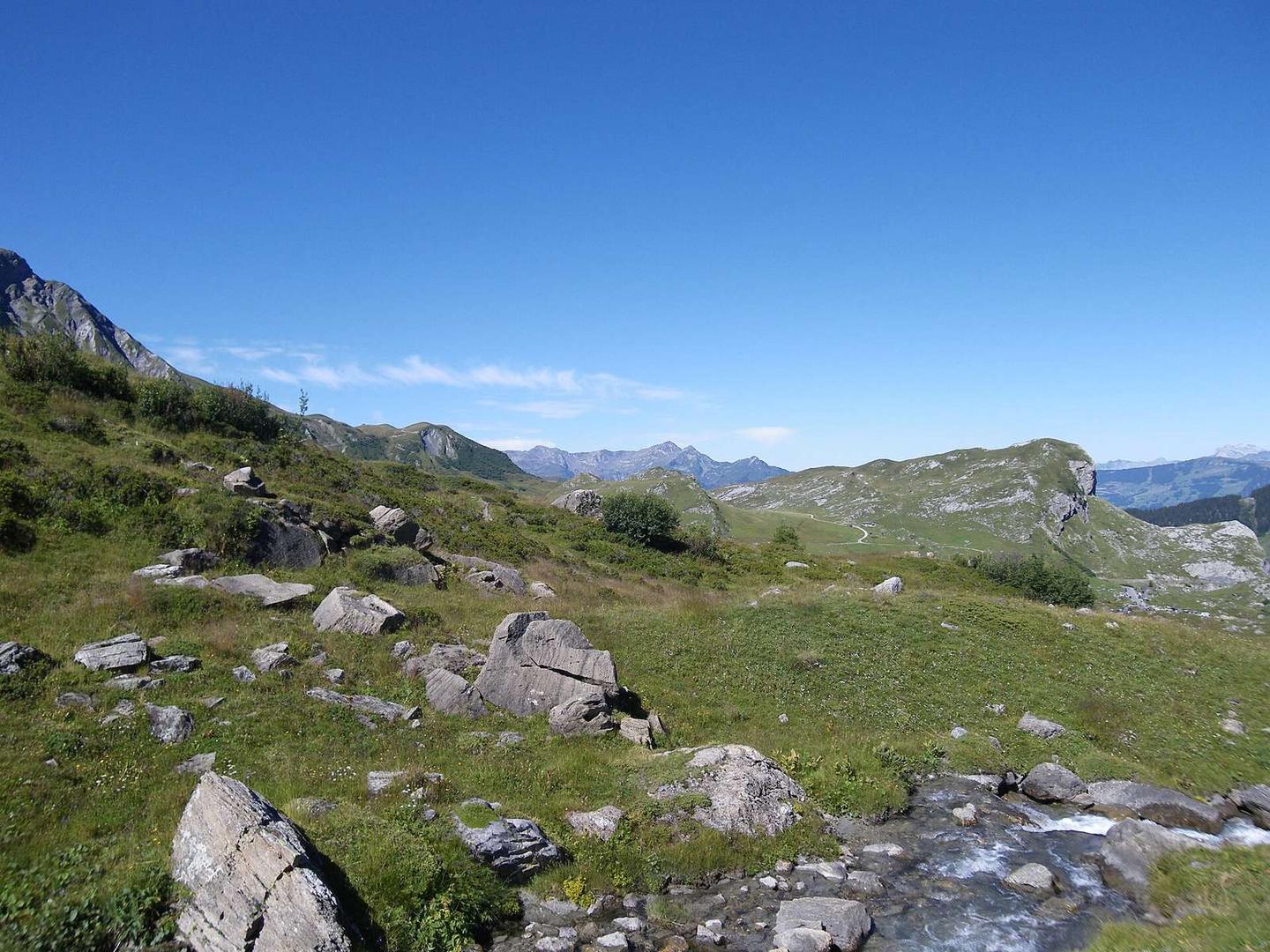
Starting near Beaufort at 738 m, the route ascends 20.7 km to a high point of 1971 m at Cormet de Roselend. The first 13.1 km involves climbing 876 m at an average gradient of 6.7%, with sections reaching a maximum of 15.3%. After a brief 1.1 km descent, the final 6 km climb gains 379 m at an average of 6.3% with a maximum of 8.9%. The entire route is on the D 925 main road, mostly paved (99%), with 97% on main roads without cycle lanes and a short fast road section (1 km at 80 km/h+).
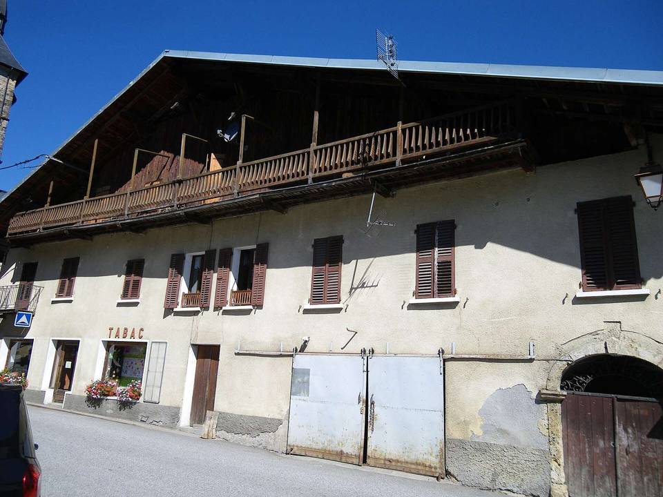
Facilities near the start include Beaufort with a market and bakery just off route. There is a bakery at 0.4 km and a viewpoint at 0.5 km off the route. The longest stretch without café, shop, or water is 12 km from 0.5 to 12.5 km. Further restaurants and toilets are available later near 13.7 km and 18.1 km. Drinking water is available at 0.5 km and again at 15.3 km. Toilets can be found near 0.4, 14.2, and 20.6 km. The route is straightforward with climbing on a well-maintained paved main road.
The gradient distribution is 87% climbing, 4% descending, and 9% flat. Much of the climb is steady, with 15.1 km over 5%, 5.3 km over 8%, and 1.5 km over 10%. There is a minor 1.1 km descent descending 19 m around 13.4 km. Views can be enjoyed at two viewpoints placed near 0.5 and 13.8 km.
| Climb | Starts at | On this ride | Full ascent | Top on this ride |
|---|---|---|---|---|
| La Glirettaz climb | 0.1 km | 13.1 km · 876 m · 6.7 % · max 15.3 % | 13.1 km · 876 m · 6.7 % | 1615 m |
| Beaufort climb | 14.5 km | 6 km · 379 m · 6.3 % · max 8.9 % | 6 km · 379 m · 6.3 % | 1971 m |
This is not a cycle-track route: 96% is on main roads without a cycle lane, 1 km of it where the limit is 80 km/h or more. Riders should be comfortable sharing the road with faster traffic.
No stretch is longer than 15 km without a café, shop or water. Along the route: 15 cafés and restaurants, 3 shops, 12 water points and 7 public toilets.