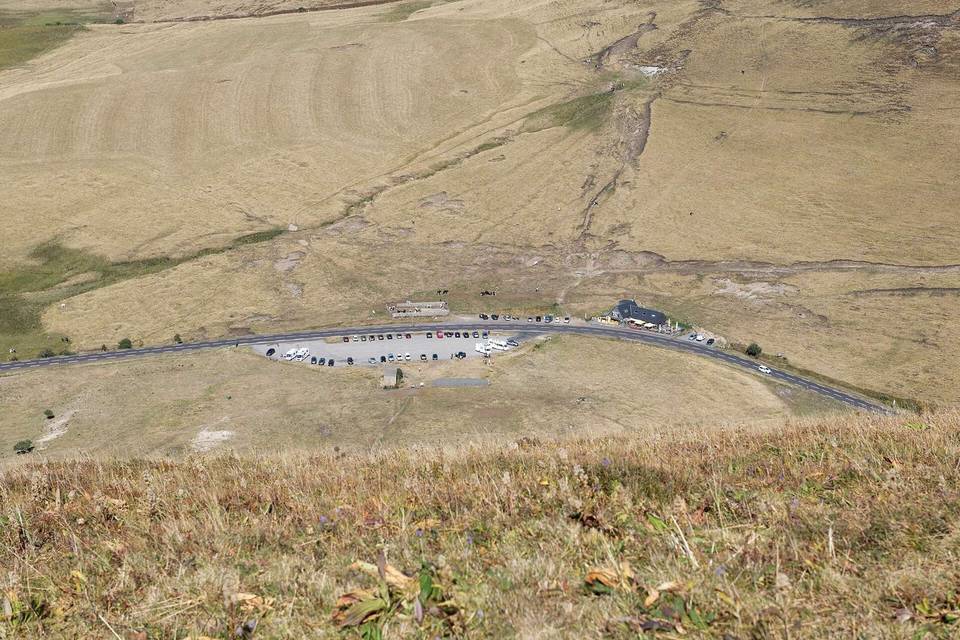
Super Besse from Besse-et-Saint-Anastaise
- 7 km
- 301 m
- Easy
- Paved
Elevation profile
- 301 m
- 7 km
Route overview
Suitable for riders looking for a short but steep climb with some fast main road cycling.
7 km climb from Besse-et-Saint-Anastaise to Super Besse in France with 301 m ascent.
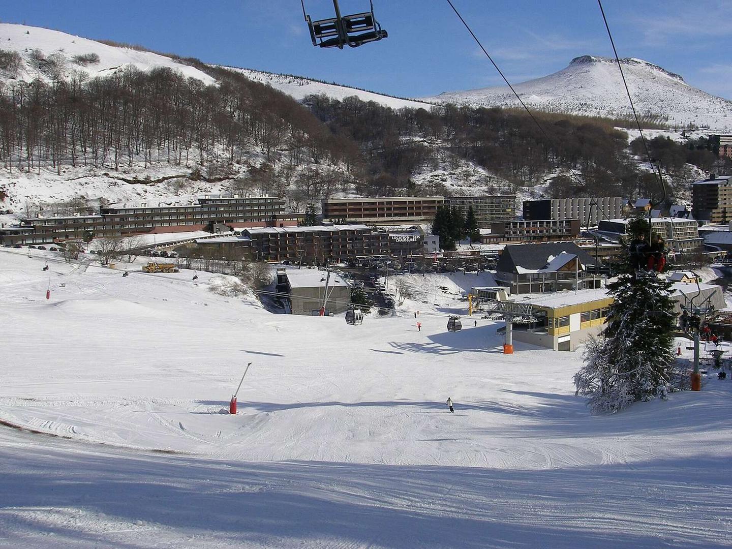
Starting at Besse-et-Saint-Anastaise at 1044 m, the route climbs 7 km to Super Besse, reaching 1314 m. The climb splits into two parts: the first 2.2 km averages 6.6% gradient with a maximum of 9.1%, gaining 147 m. After a short descent or flat section, the second climb of 2.9 km averages 5.4% with a maximum gradient of 10.6%, gaining 154 m. The road surface is 99% paved with a small 1% gravel or unpaved section. The route mainly follows the D 149 road, with 5.3 km on main roads, 1 km on minor roads and 0.6 km on quiet streets. The main roads section lacks cycle lanes and 4.7 km has speed limits of 80 km/h or more. Facilities at the start include several bakeries, cafés, restaurants, a pâtisserie, a bike shop, petrol station, shops, water sources, and toilets. After 1.1 km there is a 2.9 km stretch without cafés, shops or water. At the finish near Super Besse there are bakeries, convenience stores, restaurants, and a bar.
Highlights
- Two distinct climbs with gradients up to 10.6%
- 7 km route climbing from 1044 m to 1314 m
- Route mostly on D 149 main road
- Facilities including bakery and café at start and finish
Along the route
Climbs
| Climb | Starts at | Length | Gain | Average | Max | Top |
|---|---|---|---|---|---|---|
| — | 0 km | 2.2 km | 147 m | 6.6 % | 9.1 % | 1192 m |
| Super Besse | 3.8 km | 2.9 km | 154 m | 5.4 % | 10.6 % | 1314 m |
Super Besse · starts at 3.8 km
What this ride is like
- Roads
- 76% main road · 14% minor road · 9% quiet street
- Main roads
- 5.3 km on main roads without a cycle lane — likely busier
- Fast roads
- 4.7 km on roads with a limit of 80 km/h or more
- Main roads used
- D 149 (5 km)
- Surface
- Paved throughout
- Gradient
- 71% climbing · 13% descending · 16% flat
- Steep sections
- 2.9 km over 5% · 1.3 km over 8% · 0.4 km over 10%
Along the way
Food, water and shops
- 0 kmPâtisserie Tartière Hervé · patisserie · 50 m off route
- 0 kmLa Poterne · kiosk · 70 m off route
- 0 kmFontaine du Quartier Saint-Jean · drinking water · 110 m off route
- 0 kmToilets · 80 m off route
- 0 kmAuchan Supermarché · petrol station · 270 m off route
- 0 kmPharmacie de Besse · pharmacy · 100 m off route
- 0.1 kmBike shop · 390 m off route
- 6 kmVival · convenience store · 50 m off route
- 7 kmLa grignote Bessard · bakery · 60 m off route
- 7 kmToilets · 130 m off route
Worth a stop
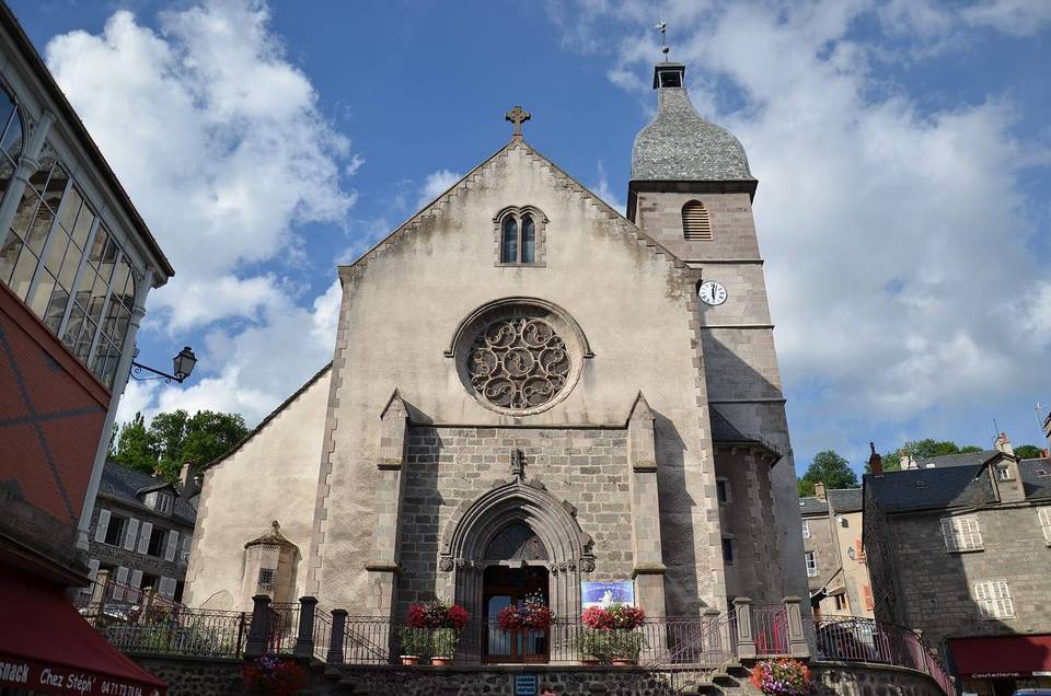
- 0 km — Château du Bailli (castle)
- 7 km — Centre ludo sportif: les hermines (attraction)
At the start
- Boulangerie Florian Mestas · bakery · 30 m
- Pâtisserie Tartière Hervé · patisserie · 80 m
- La Grignotte Bessarde · bakery · 60 m
- Café de la Halle · café · 100 m
- Le Bessoi · restaurant · 20 m
At the finish
- La grignote Bessard · bakery · 60 m
- Proxi · convenience store · 110 m
- Lou Cantou · restaurant · 100 m
- Mémé Joe · restaurant · 120 m
- Les hermines · bar · 140 m
Stay after this ride
- Bercail de Mira · apartment · 40 m from the finish
- Bercail de Mira T3 · apartment · 230 m from the finish
- Hôtel Sabrina · hotel · 230 m from the finish
- Belambra Club le Chambourguet · apartment · 400 m from the finish
- Terre de Haut · apartment · 580 m from the finish
Practical information
- Paved
- Point to point
- 30 min
- Jun to Sep — daily highs of 17–22 °C in those months
Know before you go
- 2.9 km stretch without café, shop or water (km 1.1 to 4)
- 5.3 km on main roads without cycle lanes
- 4.7 km on roads with 80 km/h speed limits
- Brief 1% gravel or unpaved section