Cyclists.com

Pas de Peyrol from Le Falgoux

Le Falgoux, FranceRoad

Routed from the map This classic road was traced on OpenStreetMap and measured against the terrain model; no member has recorded it yet. Ridden it? Add your recording and photos.

11 km
Distance
654 m
Elevation gain
Easy
Difficulty
Paved
Surface

Elevation profile

Total ascent
654 m
Distance
11 km
Elevation (m)05001,0001,5002,0000 km2.5 km5 km7.5 km10 km11 kmHighest point1,575 m at 11.2 kmStart0 kmFinish11 km

Route overview

This ride suits those looking for a short, sustained climb with significant elevation gain.

Cycling 11.2 km from Le Falgoux to Pas de Peyrol in France with 654 m climbing on mostly main roads.

The route begins in Le Falgoux at 921 m and rises steadily to the summit of Pas de Peyrol at 1575 m over 11.2 km. After the initial 1.8 km, the main climb starts, lasting 9.4 km with an average gradient of 6.7% and maximum gradient of 14.5%. This climb accounts for most of the 654 m elevation gain. The road is fully paved and primarily main roads, with 11 km on main roads without cycle lanes and 10.5 km on roads posted at 80 km/h or more. The route follows the D 12 for 5.7 km and the D 680 for 5.4 km. There are no cafés, shops, or water sources along the way after the start, so preparation at Le Falgoux is necessary. At Le Falgoux, riders can find a convenience store, toilets, a spring for water, and restaurants like Chez Louis and Hôtel des Voyageurs. At the top near Pas de Peyrol, there are toilets and the Chalet du Puy Mary restaurant slightly off the route. A rest area called Bivouac lies just 0.8 km from the start, slightly off the road.

Highlights

  • Pas de Peyrol summit at 1575 m
  • Climb averages 6.7% gradient over 9.4 km
  • Route follows D 12 and D 680 roads
  • Restaurants at start and finish

Along the route

Measured from the recorded track and OpenStreetMap.

Climbs

ClimbStarts atLengthGainAverageMaxTop
Le Falgoux climb1.8 km9.4 km630 m6.7 %14.5 %1575 m

High point 1575 m at 11.2 km; low point 921 m.

Le Falgoux climb · starts at 1.8 km

9.4 km at 6.7% · 630 m
100011001200130014001500ELEVATION (M)7.0%7.1%4.9%4.9%5.0%10%12%7.7%0 km123456789.4 kmDISTANCE (KM)Le Falgoux climb · 1,574 mSTEEPEST 12.4%
< 4%4 – 7%7 – 10%> 10%

What this ride is like

Measured from OpenStreetMap along the track and the elevation profile.

Roads
98% main road
Main roads
11 km on main roads without a cycle lane — likely busier
Fast roads
10.5 km on roads with a limit of 80 km/h or more
Main roads used
D 12 (6 km), D 680 (5 km)
Surface
Paved throughout
Gradient
89% climbing · 1% descending · 10% flat
Steep sections
6.4 km over 5% · 2.1 km over 8% · 1.9 km over 10%

Along the way

Within a few hundred metres of the track, from OpenStreetMap. Opening hours change — treat this as where to look, not a promise.

Food, water and shops

  1. 0 kmChez Louis · restaurant · on the route
  2. 0 kmÉpicerie du Falgoux · convenience store · 80 m off route
  3. 0 kmSpring · on the route
  4. 0 kmToilets · 40 m off route
  5. 11.2 kmChalet du Puy Mary · restaurant · on the route
  6. 11.2 kmPuy Mary (Pas de Peyrol) · toilets · on the route

Worth a stop

  • 0.8 kmBivouac (rest area)
  • 11.2 kmPas de Peyrol (attraction, 1588 m)

At the start

  • Chez Louis · restaurant · 20 m
  • Hôtel des Voyageurs · restaurant · 30 m
  • Épicerie du Falgoux · convenience store · 80 m

At the finish

  • Chalet du Puy Mary · restaurant · 40 m

Practical information

Surface
Paved
Route shape
Point to point
Riding time
48 min

Know before you go

  • 11 km on main roads without cycle lanes
  • 10.5 km on fast roads (80 km/h+)
  • No café, shop or water for 11.2 km

Routes are for inspiration. Roads, surfaces and conditions change — check locally and ride within your limits.

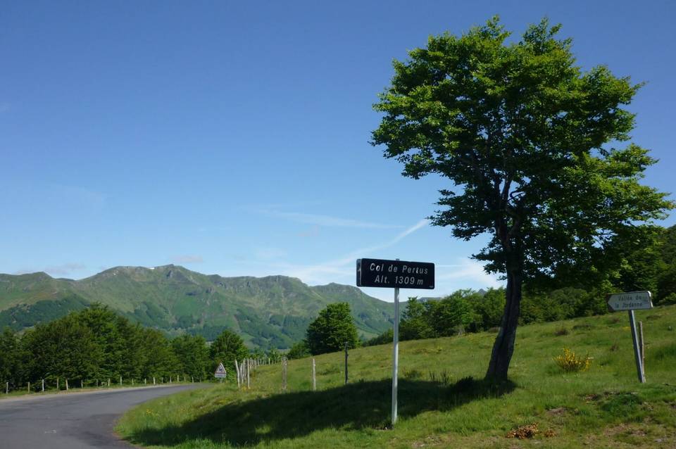
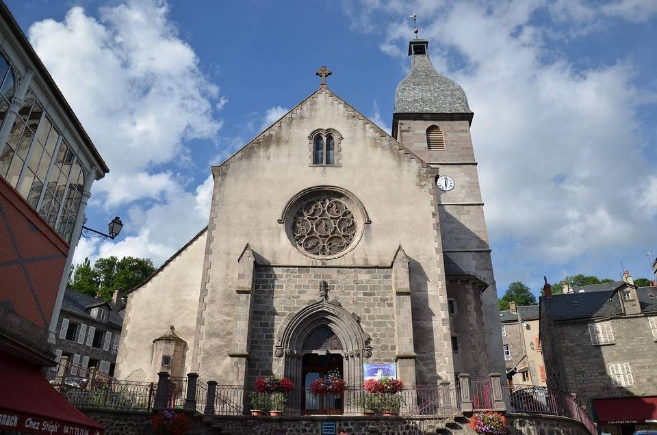
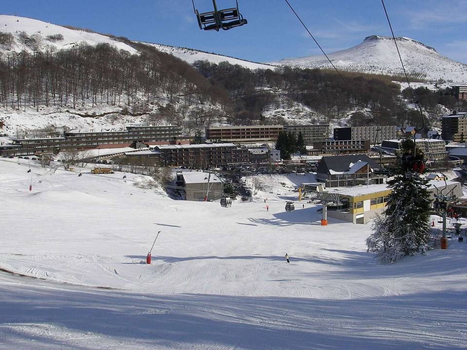
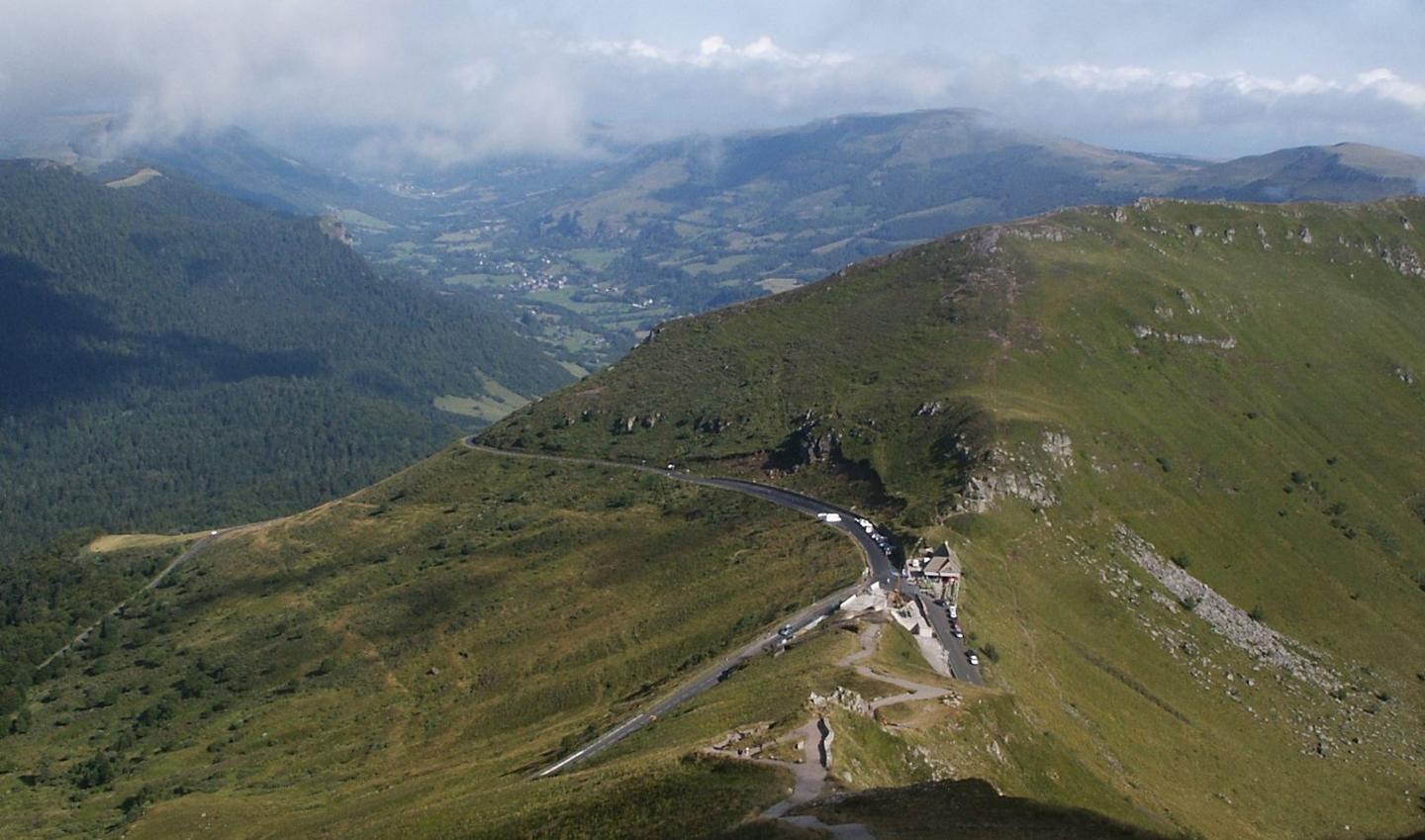
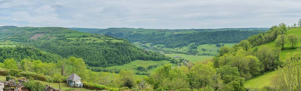
2 photographs from the road

Photo: Benoit Kornmann · CC BY-SA 3.0 · Wikimedia Commons · Photo: Pierre Goiffon · CC BY-SA 4.0 · Wikimedia Commons