Cyclists.com

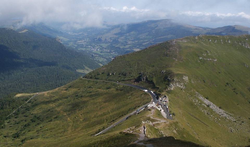
Col du Perthus (Massif Central) from Thiézac

Thiézac, FranceRoad

Routed from the map This classic road was traced on OpenStreetMap and measured against the terrain model; no member has recorded it yet. Ridden it? Add your recording and photos.

12 km
Distance
515 m
Elevation gain
Easy
Difficulty
Paved
Surface

Elevation profile

Total ascent
515 m
Distance
12 km
Elevation (m)02505007501,0001,2501,5000 km2.5 km5 km7.5 km10 km12 kmHighest point1,309 m at 12.2 kmStart0 kmFinish12 km

Route overview

Suitable for riders comfortable with moderate sustained climbing over 12 km.

12.2 km climb to 1309 m from Thiézac via Col du Perthus in France, mainly paved with some main and minor roads.

The ride starts in Thiézac at 793 m and gains 515 m over 12.2 km to reach the Col du Perthus at 1309 m. The climb begins at 0.8 km, covering 8.2 km with 384 m ascent at an average gradient of 4.7%, peaking at 10%. Another shorter climb starts at 10 km, rising 131 m over 2.2 km averaging 5.9% gradient. The route features 98% paved surface with a small 2% of gravel or unpaved, and 1% unmapped sections. Half the climb is in the first half of the route with 64% of the total elevation gain, and the gradients include 4.6 km over 5%, 2.2 km over 8%, and just 0.1 km over 10%. The road types are split between 50% main roads and 46% minor roads, including 6.1 km on main roads without cycle lanes, with 7.1 km of road with posted speed limits 80 km/h or above. The longest named roads used are N 122 for 5.7 km and D 317 for 5.6 km. Facilities are available near the start with a convenience store and bakery within about 70 m, a water tap and toilets within 85 m, a petrol station 175 m away, and another bakery around 6 km. The longest stretch with no café, shop or water is 6 km from km 6.2 to 12.2. There is a picnic site near the start and a viewpoint at the top around 80 m off route.

Highlights

  • Climb average 4.7% over 8.2 km
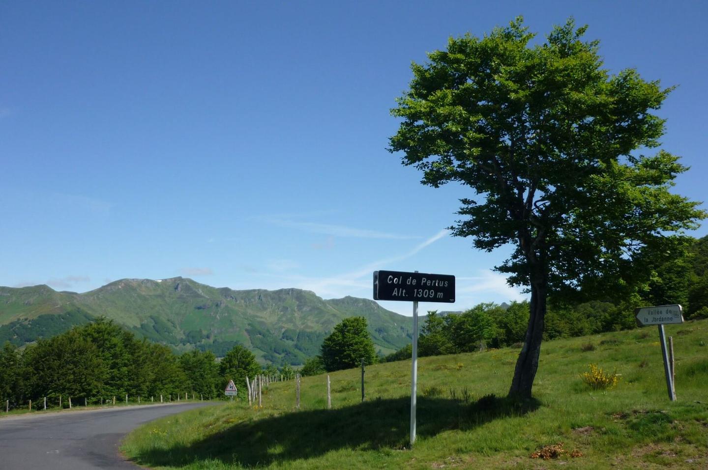
  • Col du Perthus summit at 1309 m
  • Viewpoint pt de vue de la Jordanne at 12.2 km
  • N 122 road for 5.7 km

Along the route

Measured from the recorded track and OpenStreetMap.

Climbs

ClimbStarts atLengthGainAverageMaxTop
Thiézac climb0.8 km8.2 km384 m4.7 %10 %1180 m
10 km2.2 km131 m5.9 %8.3 %1309 m

High point 1309 m at 12.2 km; low point 793 m.

Thiézac climb · starts at 0.8 km

8.2 km at 4.7% · 384 m
8008509009501000105011001150ELEVATION (M)4.5%3.7%3.3%4.7%9.0%4.7%0 km12345678.2 kmDISTANCE (KM)Thiézac climb · 1,180 mSTEEPEST 9.0%
< 4%4 – 7%7 – 10%> 10%

What this ride is like

Measured from OpenStreetMap along the track and the elevation profile.

Roads
50% main road · 46% minor road
Main roads
6.1 km on main roads without a cycle lane — likely busier
Fast roads
7.1 km on roads with a limit of 80 km/h or more
Main roads used
N 122 (6 km), D 317 (6 km)
Surface
Paved throughout
Gradient
79% climbing · 1% descending · 20% flat
Steep sections
4.6 km over 5% · 2.2 km over 8%

Along the way

Within a few hundred metres of the track, from OpenStreetMap. Opening hours change — treat this as where to look, not a promise.

Food, water and shops

  1. 0 kmBakery · on the route
  2. 0 kmCoccinelle · convenience store · 70 m off route
  3. 0 kmToilets · 90 m off route
  4. 0 kmStation Communale · petrol station · 180 m off route
  5. 0.1 kmPharmacy · on the route
  6. 0.2 kmWater tap · on the route
  7. 6 kmBoulangerie Patisserie Chazelon Trauchessec · bakery · on the route

Worth a stop

  • 0.2 kmEspace Hélène Canis (picnic site)
  • 12.2 kmpt de vue de la Jordanne (viewpoint)

At the start

  • Coccinelle · convenience store · 70 m
  • L'Elancez · restaurant · 40 m

Stay after this ride

  • Les 4 saisons · guest house · 1.7 km from the finish
  • Vert Azur · guest house · 1.7 km from the finish
  • Aux Genets d'or - Chez Guiguite · hotel · 1.9 km from the finish

Practical information

Surface
Paved
Route shape
Point to point
Riding time
52 min

Know before you go

  • 6 km without café, shop or water from 6.2 km
  • 6.1 km on main roads without cycle lanes
  • 7.1 km of roads with speeds 80 km/h or more
  • 2% of route on gravel or unpaved surface

Routes are for inspiration. Roads, surfaces and conditions change — check locally and ride within your limits.

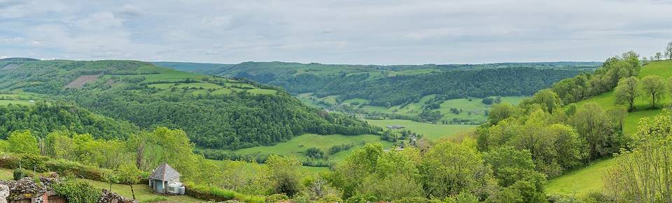
2 photographs from the road

Photo: SchiDD · CC BY-SA 3.0 · Wikimedia Commons · Photo: Guilhem Vellut from Annecy, France · CC BY 2.0 · Wikimedia Commons