Cyclists.com

Borve to Balivanich

Borve, Western Isles, United KingdomRoad

Signed route The waymarked Hebridean Way (regional route HW), traced from OpenStreetMap and measured against the terrain model; no member has recorded it yet. Stage 3 of 5 of the Hebridean Way. Ridden it? Add your recording and photos.

59 km
Distance
126 m
Elevation gain
Moderate
Difficulty
Paved
Surface
Download GPXMap

Elevation profile

Total ascent
126 m
Distance
59 km
02040m0 km204059 km26 m · highest, at 4.4 kmStartFinish

Route overview

Suitable for riders prepared for a 59 km mostly flat ride with minimal climbing.

Stage 3 of 5 of the Hebridean Way: 59.2 km from Borve to Balivanich with 126 m of climbing, on the signed route.

The route starts at Borve and proceeds northeast through Newton at 2.8 km and Clachan Sands at 4.7 km. The high point of 26 m is reached early at 4.4 km; the route then gently descends towards its lowest elevation of 0 m at 52.4 km. Along the way, it passes through numerous small settlements such as Reumisgarry, Trumisgarry, Sollas, Balmartin, and Paible. The surface is 99% paved with a minor 1% gravel or unpaved and unmapped portions. Road types are mainly main roads for 49.4 km (84%), with some minor roads (9%) and quiet streets (6%). The longest named roads are the A865 for 38.1 km, B893 for 4.7 km, and B892 for 4.1 km. However, the entire 49.4 km length on main roads has no cycle lanes. There is also 1.3 km of roads with posted speeds of 80 km/h or more. Gradients are generally flat with 91% flat ground and only 3% climbing; no parts exceed 5% gradient. Services along the route include a fast food outlet at 16.1 km, bakeries at 38.9 and 55.2 km, and supermarkets at 13.8, 34, and near the finish at 59 km. There are toilets at several points and even a bike repair stand at 38.9 km. The longest stretch with no café, shop, or water is 17.9 km from 16.1 km to 34 km. The ride ends at Balivanich, where facilities include a supermarket, bakery, hospital, restaurant, clinic, and pub.

Highlights

  • Passes near Beinn a' Chaolais at 1.1 km
  • Rides beneath Beinn Riabhach (117 m) at 23 km
  • Follows the A865 for 38 km
  • Ends at Balivanich with several services

Along the route

Measured from the recorded track and OpenStreetMap.

Places passed

  1. Newton 2.8 km
  2. Clachan Sands 4.7 km
  3. Reumisgarry 5.6 km
  4. Trumisgarry 6.3 km
  5. Ahmore 8.7 km
  6. Grenitote 12.6 km
  7. Mishigarry 13.8 km
  8. Sollas 13.9 km
  9. Middlequarter 14.6 km
  10. Malaclete 15.5 km
  11. Cladach Vallay 18.4 km
  12. Balmartin 25 km
  13. Baleloch 25.5 km
  14. Tigharry 27 km
  15. Hougharry 28.6 km
  16. Balranald 31 km
  17. Paible 33.2 km
  18. Claddach-knockline 34.9 km
  19. Claddach Kyles 36.9 km
  20. Claddach Kirkibost 38.3 km
  21. Claddach Illeray 39.9 km
  22. Clachan 41.8 km
  23. Claddach Baleshare 43.5 km
  24. Corunna 44.1 km
  25. Carinish 45.5 km
  26. Knockquien 48 km
  27. Baile Glas 49.9 km
  28. Àird nan Srùban 50.2 km
  29. Gramsdale 53.7 km
  30. Uachdar 55.2 km

What this ride is like

Measured from OpenStreetMap along the track and the elevation profile.

Roads
84% main road · 9% minor road · 6% quiet street
Main roads
49.4 km on main roads without a cycle lane — likely busier
Fast roads
1.3 km on roads with a limit of 80 km/h or more
Main roads used
A865 (38 km), B893 (5 km), B892 (4 km)
Surface
Paved throughout
Gradient
3% climbing · 6% descending · 91% flat

Along the way

Within a few hundred metres of the track, from OpenStreetMap. Opening hours change — treat this as where to look, not a promise.

Longest stretch without a café, shop or water: 18 km, from 16 km to 34 km.

Food, water and shops

  1. 13.8 kmCo-op Sholais · supermarket · on the route
  2. 16.1 kmThe Wee Cottage Kitchen · fast food · on the route
  3. 28.7 kmToilets · 290 m off route
  4. 34 kmBayhead Shop · convenience store · 40 m off route
  5. 34 kmGulf · petrol station · on the route
  6. 38.9 kmThe Oystercatcher Bakery · bakery · 30 m off route
  7. 38.9 kmToilets · on the route
  8. 38.9 kmRepair stand · 30 m off route
  9. 55.2 kmMacLean's Bakery · bakery · 40 m off route
  10. 58.2 kmToilets · 180 m off route
  11. 58.6 kmBalivanich Health Clinic · clinic · on the route
  12. 59 kmLovats Shop · supermarket · 210 m off route
  13. 59 kmSeaview Filling Station · petrol station · 140 m off route

Need to bail out?

  • 0 kmBerneray Ferry Terminal (ferry), 1.4 km off route

Whether bikes are carried depends on the service — check before relying on it.

Worth a stop

  • 6.1 kmDun (archaeological site)
  • 13 kmDun Toloman, dun site (archaeological site)
  • 19.7 kmCrannog (archaeological site)
  • 50.2 kmDun (archaeological site)

At the finish

  • Lovats Shop · supermarket · 210 m
  • Macleans Cottage Bakery · bakery · 270 m
  • Uist and Barra Hospital · hospital · 120 m
  • Stepping Stone Restaurant · restaurant · 400 m
  • Balivanich Health Clinic · clinic · 380 m

Stay after this ride

  • Ceann Na Pairc · guest house · 2.1 km from the finish
  • Nunton House Hostel · hostel · 2.2 km from the finish

Practical information

Surface
Paved
Route shape
Point to point
Riding time
4 h 14 min

Know before you go

  • 49.4 km on main roads without cycle lanes
  • 1.3 km on roads with speed limits of 80 km/h or more
  • Longest stretch with no café, shop, or water is 17.9 km from 16.1 to 34 km

Routes are for inspiration. Roads, surfaces and conditions change — check locally and ride within your limits.

2 photographs from the road

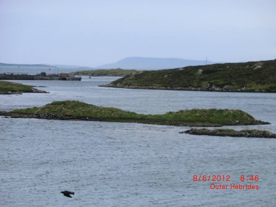
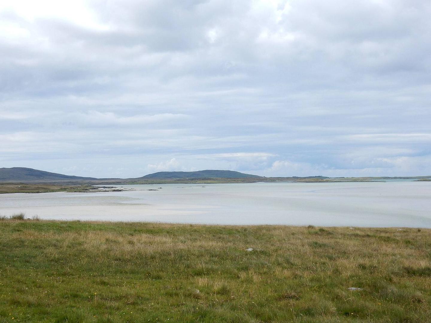
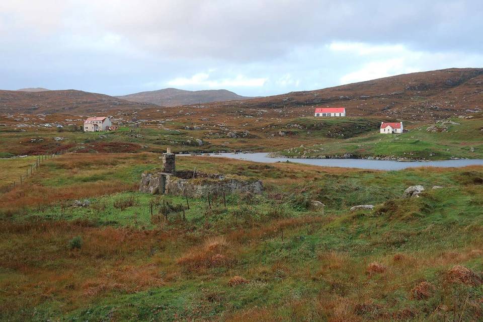
Photo: Stephen Darlington · CC BY-SA 2.0 · Wikimedia Commons · Photo: Colin Smith · CC BY-SA 2.0 · Wikimedia Commons · Photo: Lobster1 · CC BY-SA 3.0 · Wikimedia Commons

Stage of