Cyclists.com

Balallan to Strond

Balallan, Western Isles, United KingdomRoad

Signed route The waymarked Hebridean Way (regional route HW), traced from OpenStreetMap and measured against the terrain model; no member has recorded it yet. Stage 2 of 5 of the Hebridean Way. Ridden it? Add your recording and photos.

72 km
Distance
557 m
Elevation gain
Moderate
Difficulty
Paved
Surface
Download GPXMap

Elevation profile

Total ascent
557 m
Distance
72 km
050100150200250m0 km20406072 km194 m · highest, at 19.8 kmStartFinish

Route overview

Suitable for cyclists comfortable with moderate distance and moderate climbing on mostly main roads.

Stage 2 of 5 of the Hebridean Way: 72.1 km from Balallan to Strond with 557 m of climbing, on the signed route.

Starting in Balallan, the route heads north passing through Arivruach, Aline, Bowglass, and Ardvourlie before reaching Ardhasaig at 30 km. The ride follows mostly paved roads, with 86% on main roads including the A859 for 61 km. After Ardhasaig, the ride climbs 163 m over 2.8 km starting near 16.6 km. A bike rental is located around 16.4 km. Continuing beyond Ardhasaig, the route passes places like Tarbert at 34.4 km and Seilebost at 49.6 km. Two more short climbs add 57 m and 50 m respectively after 36 km. There is a 30 km stretch without cafés, shops, or water in the first half, but amenities include shops and cafés near Tarbert and fuel stations at Ardhasaig and Leverburgh. The descent from 26.2 km over 3.3 km drops 155 m. The final section leads through Scarista, Northton, and finishes at Leverburgh after 72 km. The surfaces are mostly paved, with 2% gravel and unmapped sections. Some stretches are on roads with 80 km/h speed limits and all main roads lack cycle lanes. Toilets are available at several points along the route.

Highlights

  • Climb of 163 m over 2.8 km from 16.6 km
  • Longest descent of 155 m over 3.3 km from 26.2 km
  • Riding on A859 for 61 km
  • Peaks near the route including Clett Ard at 328 m and Tarsaval at 376 m

Along the route

Measured from the recorded track and OpenStreetMap.

Places passed

  1. Arivruach 5.8 km
  2. Aline 14 km
  3. Bowglass 15.3 km
  4. Ardvourlie 16 km
  5. Ardhasaig 30.2 km
  6. Leachkin 32 km
  7. Taobh Siar 33.1 km
  8. Tarbert 34.4 km
  9. Kendibig 36.3 km
  10. Seilebost 49.6 km
  11. Horgabost 51.8 km
  12. Pàirc Niseaboist 53 km
  13. Borve 55.2 km
  14. Scarista 58.3 km
  15. Northton 61.7 km
  16. Leverburgh 66 km

Climbs

ClimbStarts atLengthGainAverageMaxTop
16.6 km2.8 km163 m5.8 %7.6 %192 m
36.2 km1.9 km57 m3 %6.6 %81 m
38.9 km2.1 km50 m2.4 %3.7 %132 m

High point 194 m at 19.7 km; low point 0 m. Passes beneath Cleit nan Cnocan Fraoich, Griamacleit, Clett Ard.

What this ride is like

Measured from OpenStreetMap along the track and the elevation profile.

Roads
86% main road · 4% quiet street · 3% minor road · 1% track · 5% unmapped
Main roads
61.4 km on main roads without a cycle lane — likely busier
Fast roads
57.8 km on roads with a limit of 80 km/h or more
Main roads used
A859 (61 km)
Surface
Paved throughout
Gradient
16% climbing · 20% descending · 64% flat
Steep sections
2.7 km over 5% · steepest 500 m averages 7.3% at 18.7 km
Longest descent
3.3 km from 26.2 km, dropping 155 m

Along the way

Within a few hundred metres of the track, from OpenStreetMap. Opening hours change — treat this as where to look, not a promise.

Longest stretch without a café, shop or water: 30 km, from 0 km to 30 km.

Food, water and shops

  1. 0 kmOld School Tearoom · café · 50 m off route
  2. 0 kmDrinking water · on the route
  3. 9.6 kmToilet · toilets · 80 m off route
  4. 16.4 kmBike rental · 70 m off route
  5. 30.2 kmArdhasaig Filling Station · petrol station · on the route
  6. 30.7 kmHebscape · café · 50 m off route
  7. 34.4 kmAkram General Store · convenience store · 190 m off route
  8. 52.1 kmToilets · 210 m off route
  9. 61.7 kmCroft 36 · fast food · 350 m off route
  10. 66.2 kmHarris Community Shop · supermarket · 50 m off route
  11. 66.2 kmAn Clachan Filling Station · petrol station · on the route
  12. 67.6 kmThe Butty Bus · café · on the route
  13. 67.7 kmToilets · on the route

Need to bail out?

  • 34.5 kmTarbert Ferry Terminal (ferry), 210 m off route
  • 67.7 kmLeverburgh Ferry Terminal (ferry), on the route

Whether bikes are carried depends on the service — check before relying on it.

Worth a stop

  • 2.9 kmPairc Deer Raid Monument (monument)
  • 56.5 kmStanding Stone (archaeological site)

At the start

  • Old School Tearoom · café · 50 m

Stay after this ride

  • Ben View Bed and Breakfast · guest house · 3.7 km from the finish
  • Lingay House · guest house · 3.8 km from the finish
  • Leverburgh Loft holiday rental · apartment · 3.9 km from the finish
  • Carminish Guest House · guest house · 2.8 km from the finish
  • Rodel Valley Log Cabins · apartment · 3.3 km from the finish

Practical information

Surface
Paved
Route shape
Point to point
Riding time
5 h 09 min

Know before you go

  • 30 km stretch with no café, shop, or water at start
  • 61 km on main roads without cycle lanes
  • 57.8 km on roads with 80 km/h+ speed limits
  • Gravel or unpaved sections for 2% of route

Routes are for inspiration. Roads, surfaces and conditions change — check locally and ride within your limits.

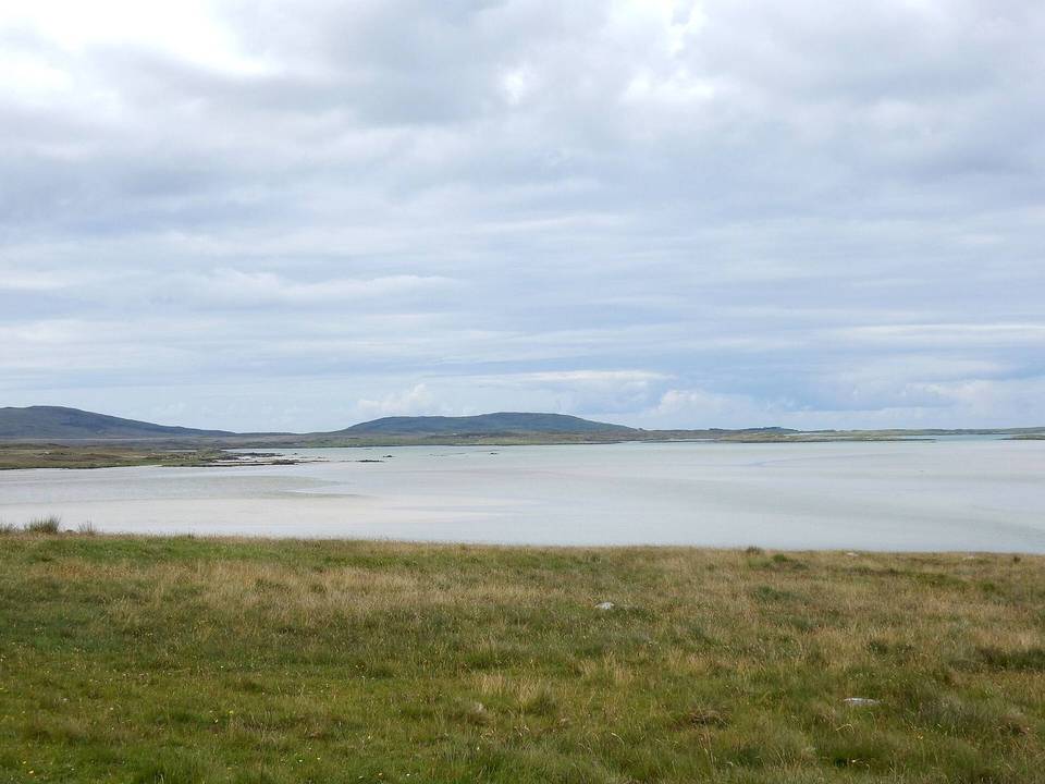
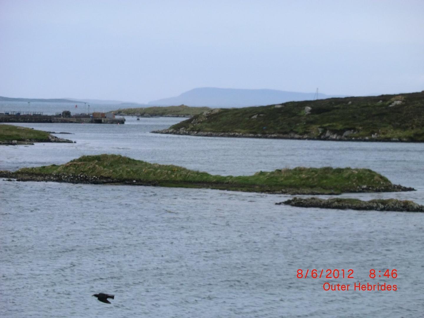
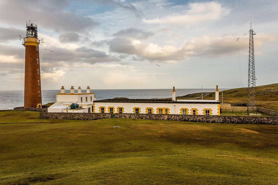
2 photographs from the road

Photo: Lobster1 · CC BY-SA 3.0 · Wikimedia Commons · Photo: Ian S · CC BY-SA 2.0 · Wikimedia Commons

Stage of