
Cyclists.com

Eoropie to Balallan

Eoropie, Western Isles, United KingdomRoad

Signed route The waymarked Hebridean Way (regional route HW), traced from OpenStreetMap and measured against the terrain model; no member has recorded it yet. Stage 1 of 5 of the Hebridean Way. Ridden it? Add your recording and photos.

84 km
Distance
500 m
Elevation gain
Moderate
Difficulty
Paved
Surface
Download GPXMap

Elevation profile

Total ascent
500 m
Distance
84 km
020406080100m0 km20406084 km95 m · highest, at 65.8 kmStartFinish

Route overview

Suitable for cyclists comfortable with long distances and moderate climbing.

Stage 1 of 5 of the Hebridean Way: 83.5 km from Eoropie to Balallan with 500 m of climbing, on the signed route.

The route starts near Eoropie and passes through many villages including Fivepenny, Lionel, and Barvas. The road is almost entirely paved (99%) with a mix of main roads (88%), quiet streets (7%), minor roads (3%), and a short track (1%). It mainly follows A858 for 39.3 km, then A857 for 21.1 km, and A859 for 11.2 km. The long main road sections lack cycle lanes and include 11.2 km with speed limits over 80 km/h. Climbing is moderate with 500 m gained overall, mainly in the first half, including a 2 km climb starting at 21.2 km with a 2% average gradient and a maximum of 2.8%. The highest point is at 96 m at 65.8 km and the lowest at 5 m at 56.1 km. The route has 16% climbing, 17% descending, and 68% flat road. The longest descent is 2.3 km dropping 60 m. Facilities along the way include cafés at 3.8 km, 56.2 km, and near the finish at 83.2 km. Convenience stores are available at 5.5 km, 17.9 km, 27.2 km, and 71.5 km. There is a petrol station close to 5.5 km. Water points and toilets are spread along the route. The longest stretch without a café, shop, or water is 18.2 km from 38 km to 56.2 km.

Highlights

  • Route passes near Beinn an Dùin (84 m) and Buailebhal Mòr (97 m)
  • Long section on main road A858 for 39.3 km
  • Steepest sustained gradient 2.8% at 21-23 km
  • Cafés at 3.8 km, 56.2 km, and 83.2 km
  • Archaeological sites near 11.4 km and 54.5 km

Along the route

Measured from the recorded track and OpenStreetMap.

Places passed

  1. Fivepenny 2.5 km
  2. Knockaird 3 km
  3. Lionel 3.8 km
  4. Adabrock 3.9 km
  5. Habost 4.6 km
  6. Swainbost 5.5 km
  7. Cross 6.4 km
  8. North Dell 7.2 km
  9. South Dell 8.6 km
  10. North Galson 13.5 km
  11. South Galson 14.2 km
  12. Borve 17.7 km
  13. Shader 20.6 km
  14. Ballantrushal 21.8 km
  15. Barvas 26.6 km
  16. Brue 28.7 km
  17. Arnol 31.8 km
  18. Bragar 34.1 km
  19. Shawbost 37.9 km
  20. Carloway 45.6 km
  21. Doune Carloway 47.6 km
  22. Tolsta Chaolais 50.6 km
  23. Breasclete 54.1 km
  24. Callanish 56.2 km
  25. Garynahine 58.4 km
  26. Lochganvich 64.5 km
  27. Achmore 66.5 km
  28. Laxay 78.5 km

Climbs

ClimbStarts atLengthGainAverageMaxTop
21.2 km2 km40 m2 %2.8 %54 m

High point 96 m at 65.8 km; low point 5 m. Passes beneath Cnoc Mòr nan Èildean, Beinn an Dùin, Buailebhal Mòr.

What this ride is like

Measured from OpenStreetMap along the track and the elevation profile.

Roads
88% main road · 7% quiet street · 3% minor road · 1% track
Main roads
73.5 km on main roads without a cycle lane — likely busier
Fast roads
11.2 km on roads with a limit of 80 km/h or more
Main roads used
A858 (39 km), A857 (21 km), A859 (11 km)
Surface
Paved throughout
Gradient
16% climbing · 17% descending · 68% flat
Longest descent
2.3 km from 43.2 km, dropping 60 m

Along the way

Within a few hundred metres of the track, from OpenStreetMap. Opening hours change — treat this as where to look, not a promise.

Longest stretch without a café, shop or water: 18 km, from 38 km to 56 km.

Food, water and shops

  1. 0 kmToilets · on the route
  2. 3.8 kmWobbly Dog of Lewis · café · 70 m off route
  3. 3.8 kmDrinking water · 70 m off route
  4. 5.5 kmSwainbost Shop · convenience store · 40 m off route
  5. 5.5 kmPetrol station · 30 m off route
  6. 15 kmWater tap · 170 m off route
  7. 17.7 kmBorve Country House Hotel · restaurant · 120 m off route
  8. 17.9 kmBorve Minimarket · convenience store · on the route
  9. 27.2 kmFast food · 310 m off route
  10. 27.2 kmThe Welcome In Filling Station · convenience store · 300 m off route
  11. 38 kmDrinking water · 180 m off route
  12. 38 kmToilets · 190 m off route
  13. 56.2 kmAlpacaccinos Café · café · 150 m off route
  14. 70.2 kmCrust · restaurant · 200 m off route
  15. 71.5 kmCampbell's Lochs Services · convenience store · 360 m off route
  16. 78.5 kmToilets · on the route
  17. 83.2 kmOld School Tearoom · café · 50 m off route
  18. 83.2 kmDrinking water · 40 m off route

Worth a stop

  • 3 kmObservatory (viewpoint)
  • 11.4 kmDun Baravat, Broch (archaeological site)
  • 30 kmMoor Shieling at Tom Urraghag, Brù (attraction)
  • 34.1 kmWhalebone Arch, Bragar (monument)
  • 48.9 kmDun (archaeological site)
  • 54.5 kmCallanish XII (archaeological site)

At the finish

  • Old School Tearoom · café · 50 m

Stay after this ride

  • Clearview B&B · guest house · 460 m from the finish
  • Tigh na Bruaich · guest house · 1.4 km from the finish
  • Gledfield B&B · guest house · 1.6 km from the finish
  • Loch Erisort House · guest house · 1.3 km from the finish

Practical information

Surface
Paved
Route shape
Point to point
Riding time
5 h 58 min

Know before you go

  • 73.5 km on main roads without cycle lane
  • 11.2 km on roads with speed 80 km/h or more
  • Longest stretch with no café, shop, or water for 18.2 km (38–56.2 km)
  • 1.1 km track surface section

Routes are for inspiration. Roads, surfaces and conditions change — check locally and ride within your limits.

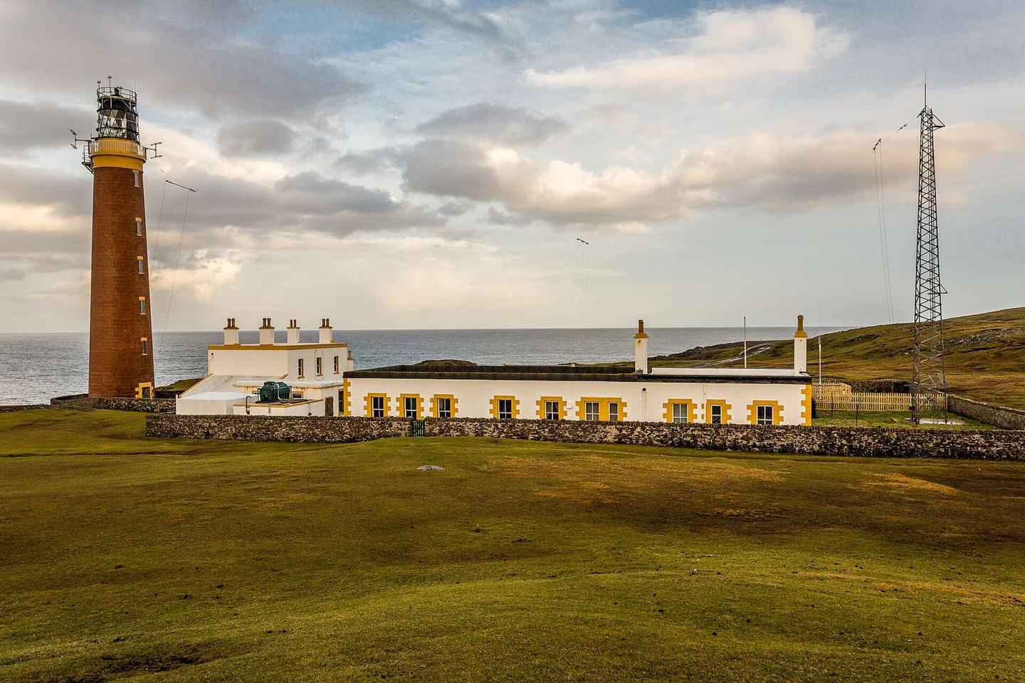
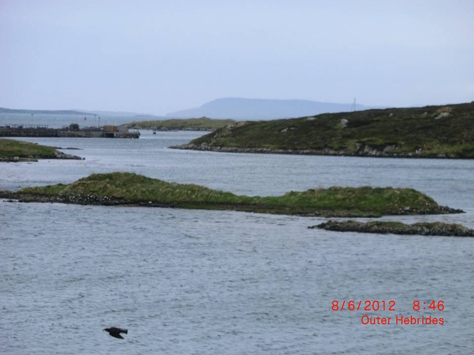
2 photographs from the road

Photo: Alan Jamieson from Aberdeen, Scotland · CC BY 2.0 · Wikimedia Commons · Photo: Ian S · CC BY-SA 2.0 · Wikimedia Commons · Photo: Lobster1 · CC BY-SA 3.0 · Wikimedia Commons

Stage of