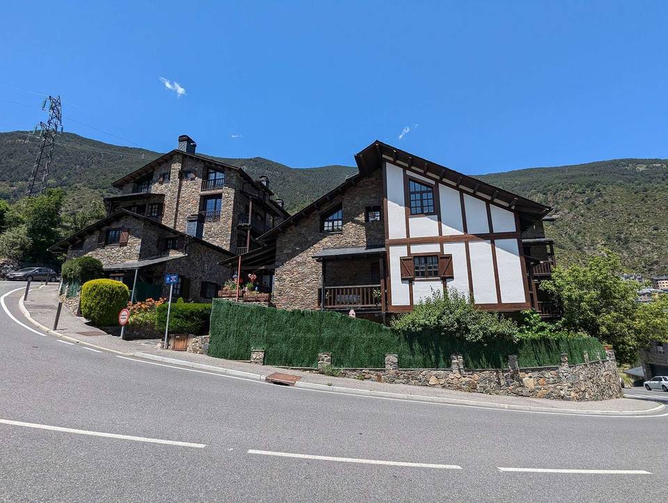
Road · Andorra
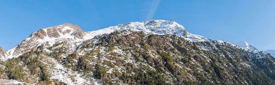
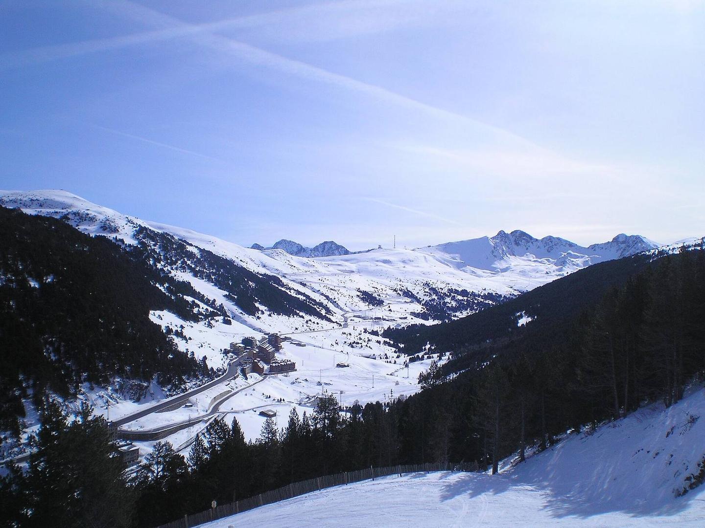
A mountainous 14 km road cycling route from Canillo through el Tarter, Sant Pere and Soldeu, with 672 m of climbing over the Sant Pere climb. Most of it (7.5 km) is on main roads without a cycle lane, 3.1 km where the limit is 80 km/h or more.
Starting in Canillo, the route passes through El Tarter at 2.4 km, Sant Pere at 2.7 km, and Soldeu at 5.1 km before reaching Les Bordes d'Envalira and Grau Roig further along. The main climb starts at 3.3 km, spanning 11.1 km with an elevation gain of 671 m, averaging a 6.1% gradient and peaking at 2405 m just before the finish at 14.3 km.
The road surface is predominantly paved (86%) with some gravel or unpaved sections making up 10%, and 3% unmapped. The route mainly follows the CG-2 for 10.5 km, with 7.4 km on main roads, of which 7.5 km lack cycle lanes and 3.1 km have speed limits of 80 km/h or more. There are 3.2 km of cycle lanes and 2.4 km of paths, plus 0.9 km of quiet streets.
Food and drink are available at DelBosc café near 5 km (slightly off the route), and Refugi Fra Miguel restaurant at the finish. There is a supermarket at 2.5 km and petrol stations at 3.7 km and at the finish. Note that there is a 6.6 km stretch from 7.7 km to 14.3 km without cafés, shops, or water.
| Climb | Starts at | On this ride | Full ascent | Top on this ride |
|---|---|---|---|---|
| Sant Pere climb | 3.3 km | 11.1 km · 671 m · 6.1 % · max 7.6 % | 11.1 km · 671 m · 6.1 % | 2405 m |
This is not a cycle-track route: 52% is on main roads without a cycle lane, 3.1 km of it where the limit is 80 km/h or more. Riders should be comfortable sharing the road with faster traffic.
No stretch is longer than 15 km without a café, shop or water. Along the route: 31 cafés and restaurants, 4 shops and 7 petrol stations.