Road · France
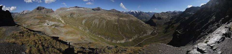
A mountainous 19 km road cycling route from Ceresole Reale through Villa, with 1,055 m of climbing over the Villa climb.
The ride starts in Ceresole Reale and passes the small settlements of Borgiallo at 0.9 km and Villa at 2.2 km. The main climb begins shortly after Villa at 2.5 km and continues for 15.3 km with an average gradient of 6.6% and max gradient of 11.4%, reaching 2605 m altitude near the end of the route at 17.8 km. The lowest point of the ride is at 1580 m at 1 km.
The surface is predominantly paved (98%), mostly on minor roads for 81% of the distance, with 16% on main roads without cycle lanes for 2.9 km. There is a steep sustained gradient with 12.2 km over 5% and 6.4 km over 8%, including 1.3 km over 10%. Services include cafés and bike rentals near the start, a viewpoint at 4.2 km, restaurants, drinking water points, and toilets at various locations. There is a longest stretch without café, shop, or water over 6.8 km from 11.5 km to 18.3 km.
| Climb | Starts at | On this ride | Full ascent | Top on this ride |
|---|---|---|---|---|
| Villa climb | 2.5 km | 15.3 km · 1015 m · 6.6 % · max 11.4 % | 15.3 km · 1015 m · 6.6 % | 2605 m |
Mostly minor roads and streets on the map; 3 km is on main roads without a cycle lane.
No stretch is longer than 15 km without a café, shop or water. Along the route: 9 cafés and restaurants, 10 water points, 4 public toilets and 2 bike shops.