
Cyclists.com

Colle delle Finestre from Meana di Susa

8 km road cycling route693 m climbing33 minGPX

Meana di Susa, Italy · Road

A mountainous 8 km road cycling route from Meana di Susa, with 693 m of climbing over the Meana di Susa climb.

Routed from the map This classic road was traced on OpenStreetMap and measured against the terrain model; no member has recorded it yet. Ridden it? Add your recording and photos.

Download GPXMap

At a glance

Best for
Short, climbing-heavy rides
Distance
7.8 km
Point to point
Elevation gain
693 m
89 m per km
Riding time
33 min
moving time, estimated
Difficulty
Easy
Bike
Road bike
Surface
Paved
Best months
Jun to Sep
Meana di Susa climate, 10 years
Navigation
GPX download
free, no sign-in
Start → finish
Meana di Susa

Map and elevation profile

Elevation profile

Total ascent
693 m
Distance
8 km
05001,0001,5002,0002,500m0 km2468 km2,171 m · highest, at 7.8 kmStartFinish

Route description

  1. Meana di Susa
  2. Meana di Susa climb

The ride starts at Meana di Susa (1477 m) beneath Monte Fassolino and Rocca Gian Losa. It climbs 7.8 km along the Strada Provinciale del Colle delle Finestre, mostly unpaved gravel surface (99%). The average gradient is 8.9% with a maximum of 10.8%.

The first half carries 53% of the elevation gain, passing near Punta Boulian and Punta Tandues around 3-4 km, then near Punta Prato di Fiera and Monte Pintas before reaching the top at 2171 m. The road is a minor road throughout.

Water sources include drinking water off-route at km 0 and Sorgente Rio Arneirone spring on-route at km 4.8. There are no cafés, shops, or toilets on the climb, and the longest stretch without them is 4.8 km from the start.

Why ride this route?

  • Climbs the Meana di Susa climb (7.8 km at 8.9 %).
  • Tops out at 2,171 m, 7.8 km in.

Highlights

  • Colle delle Finestre summit at 2171 m
  • Punta Tandues peak near km 3.6
  • Strada Provinciale del Colle delle Finestre road
  • Spring Sorgente Rio Arneirone at km 4.8

Along the route

Measured from the route line, the Copernicus elevation model and OpenStreetMap.

On the road

  • Water 0 km
  • Water 7.7 km

Climbs

Climbs in ride order: where each starts, what this ride climbs, and the full named ascent
ClimbStarts atOn this rideFull ascentTop on this ride
Meana di Susa climb0 km7.8 km · 693 m · 8.9 % · max 10.8 %7.8 km · 693 m · 8.9 %2171 m

High point 2171 m at 7.8 km; low point 1477 m. Passes beneath Monte Fassolino, Rocca Gian Losa, Punta Boulian.

On this ride: the part this route climbs, cut from its own elevation profile. Full ascent: the whole named climb, measured the same way on every ride that uses it (its climb page).

Meana di Susa climb · full ascent, starts at 0 km

7.8 km at 8.9% · 693 m
1,5001,6001,7001,8001,9002,0002,100m9.6%8.8%9.3%9.4%9.6%7.6%0 km12345677.7 km2,171 msteepest 9.6%
< 4%4 – 7%7 – 10%> 10%

Know before you go

  • Longest stretch without café, shop or water is 4.8 km from the start
  • 99% of the climb is gravel and unpaved
  • 7.6 km on minor roads with no cycle lanes
  • Steep gradients with 6.8 km over 8% and 0.8 km over 10%

Routes are for inspiration. Roads, surfaces and conditions change — check locally and ride within your limits.

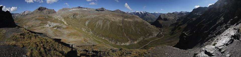
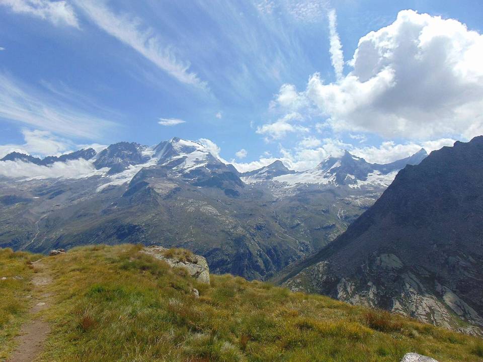
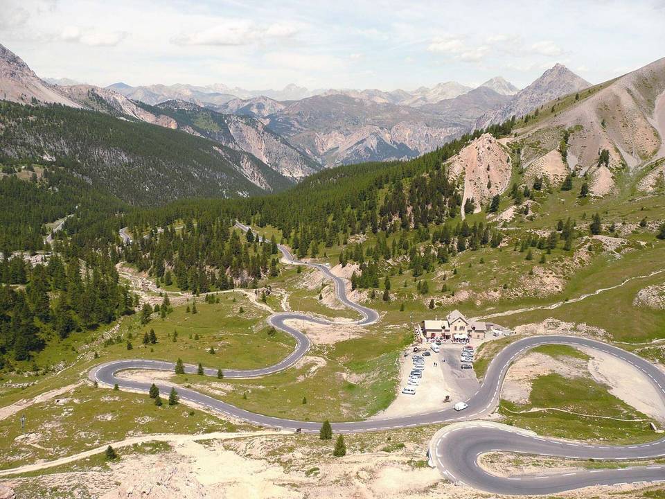
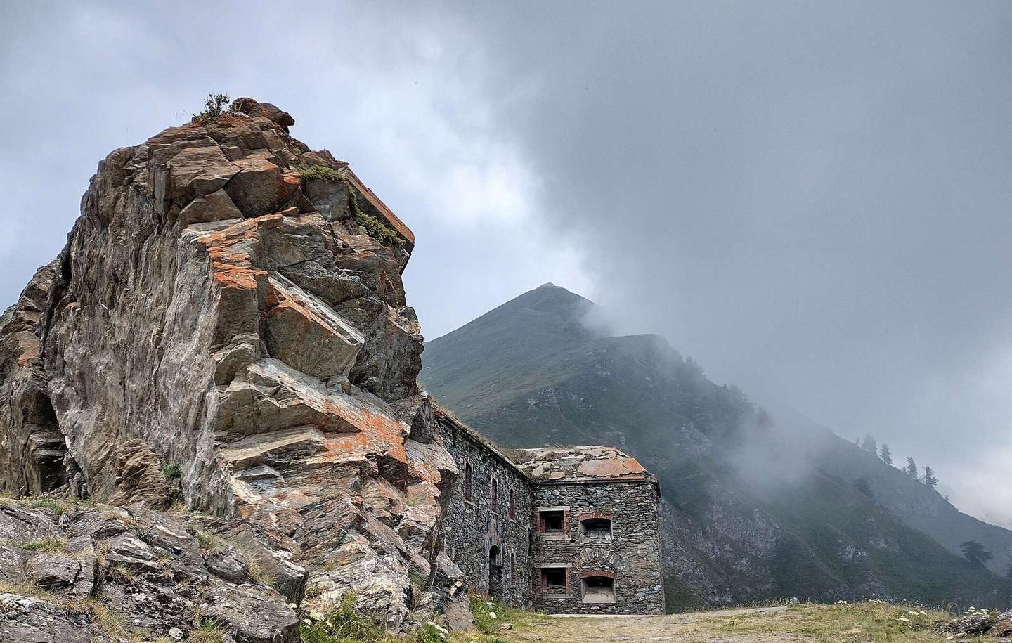
2 photographs from the road

Photo: F Ceragioli · CC BY-SA 4.0 · Wikimedia Commons · Photo: Martj9 · CC BY-SA 4.0 · Wikimedia Commons · Photo: Fulvio Spada from Torino, Italy · CC BY-SA 2.0 · Wikimedia Commons

About this route

Route line
Routed on OpenStreetMap roads with bicycle routing, then measured like a recorded ride.
Elevation
Recalculated from the Copernicus GLO-90 terrain model every 50 m, not the device’s barometer.
Best months
Ten years of ERA5 weather for Meana di Susa (Open-Meteo).
GPX
Generated from the route line: track points only, no timestamps or personal data.
Page added
Page last updated

See something wrong with this ride?

Rides starting nearby