Cyclists.com

Sestriere from Cesana Torinese

Cesana Torinese, ItalyRoad

Routed from the map This classic road was traced on OpenStreetMap and measured against the terrain model; no member has recorded it yet. Ridden it? Add your recording and photos.

14 km
Distance
694 m
Elevation gain
Moderate
Difficulty
Paved
Surface

Elevation profile

Total ascent
694 m
Distance
14 km
Elevation (m)05001,0001,5002,0002,5000 km5 km10 km14 kmHighest point2,047 m at 14.0 kmStart0 kmFinish14 km

Route overview

Suited to riders capable of sustained climbing over 14 km with almost 700 m elevation gain.

14 km climb from Cesana Torinese to Sestriere with 694 m elevation gain on mainly paved roads in Italy.

Starting from Cesana Torinese at 1353 m, the route climbs steadily for 14 km to reach Sestriere at 2046 m. The first short climb starts just under 1 km in, rising 57 m at an average gradient of 3% over 1.9 km, reaching 1419 m. The main climb begins at 3.1 km, ascending 627 m at 5.8% average gradient over almost 11 km, with some sections steepening to nearly 10%. The road surface is mostly paved (96%) but includes about 4% gravel or unpaved sections. The route mainly follows main roads (11.3 km) without cycle lanes, including 8.5 km on SP215, supplemented by short quiet streets and path segments.

Highlights

  • Main climb up to Sestriere at 2046 m
  • Starting point Cesana Torinese at 1353 m
  • Longest named road SP215 for 8.5 km
  • Poggio Capret peak near the finish

Along the route

Measured from the recorded track and OpenStreetMap.

Climbs

ClimbStarts atLengthGainAverageMaxTop
0.9 km1.9 km57 m3 %5.6 %1419 m
Cesana Torinese climb3.1 km10.9 km627 m5.8 %9.7 %2046 m

High point 2046 m at 14 km; low point 1353 m.

Cesana Torinese climb · starts at 3.1 km

10.9 km at 5.8% · 627 m
150016001700180019002000ELEVATION (M)2.5%6.8%7.3%8.8%6.6%7.1%8.4%6.0%0 km1234567891010.9 kmDISTANCE (KM)Cesana Torinese climb · 2,046 mSTEEPEST 8.8%
< 4%4 – 7%7 – 10%> 10%

What this ride is like

Measured from OpenStreetMap along the track and the elevation profile.

Roads
81% main road · 11% quiet street · 4% path
Main roads
11.3 km on main roads without a cycle lane — likely busier
Main roads used
SP215 (9 km)
Surface
Paved throughout
Gradient
87% climbing · 1% descending · 12% flat
Steep sections
7.1 km over 5% · 2.5 km over 8%

Along the way

Within a few hundred metres of the track, from OpenStreetMap. Opening hours change — treat this as where to look, not a promise.

Food, water and shops

  1. 0 kmDrinking water · 60 m off route
  2. 0.1 kmGriacaffè · café · on the route
  3. 0.1 kmGRIA S.R.L. · supermarket · 110 m off route
  4. 0.1 kmPharmacy · 180 m off route
  5. 0.2 kmToilets · 140 m off route
  6. 3.5 kmDrinking water · on the route
  7. 6.7 kmDrinking water · on the route
  8. 7.3 kmRistorante Il Cardo · restaurant · 30 m off route
  9. 9.9 kmDrinking water · on the route
  10. 13 kmEconomy · petrol station · 110 m off route
  11. 13.7 kmBaraldo · café · 30 m off route
  12. 13.7 kmToilets · on the route
  13. 13.9 kmSanimont s.r.l · hospital · on the route
  14. 14 kmDetta Antonio · supermarket · 40 m off route
  15. 14 kmDrinking water · on the route

Worth a stop

  • 13.7 kmPoggio Capret (peak, 2051 m)

At the start

  • Griacaffè · café · 90 m
  • GRIA S.R.L. · supermarket · 120 m
  • Pig Steack House · pub · 60 m
  • Bar Pizzeria Al Brusacheur · restaurant · 60 m
  • L'atelier du Boulanger · bakery · 290 m

At the finish

  • Cafe Marbì · café · 20 m
  • Galup · bakery · 50 m
  • Baraldo · café · 210 m
  • Detta Antonio · supermarket · 40 m
  • Bar Abba · bar · 20 m

Stay after this ride

  • Grand Hotel · hotel · 120 m from the finish
  • Hotel Cristallo · hotel · 200 m from the finish
  • Hotel Savoy · hotel · 160 m from the finish
  • Hotel Torre Rossa · hotel · 290 m from the finish
  • Hotel Olimpic · hotel · 220 m from the finish

Practical information

Surface
Paved
Route shape
Point to point
Riding time
1 h 00 min
Best months
Jul to Sep — daily highs of 19–25 °C in those months

Know before you go

  • 11.3 km on main roads without cycle lanes
  • Gravel or unpaved for 4% of the route
  • Longest stretch without café, shop or water 2 km from km 1.1 to 3.1

Routes are for inspiration. Roads, surfaces and conditions change — check locally and ride within your limits.

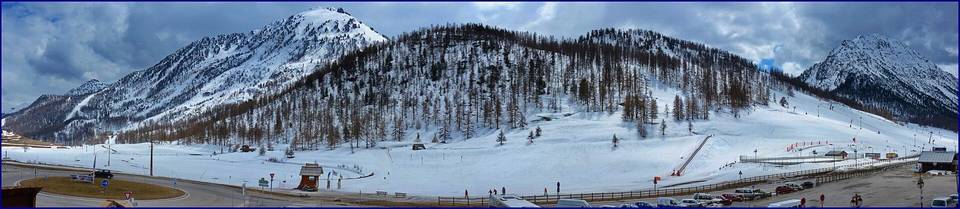
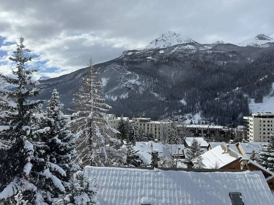
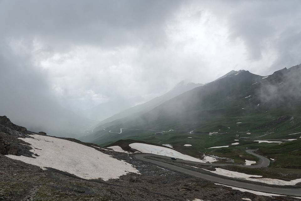
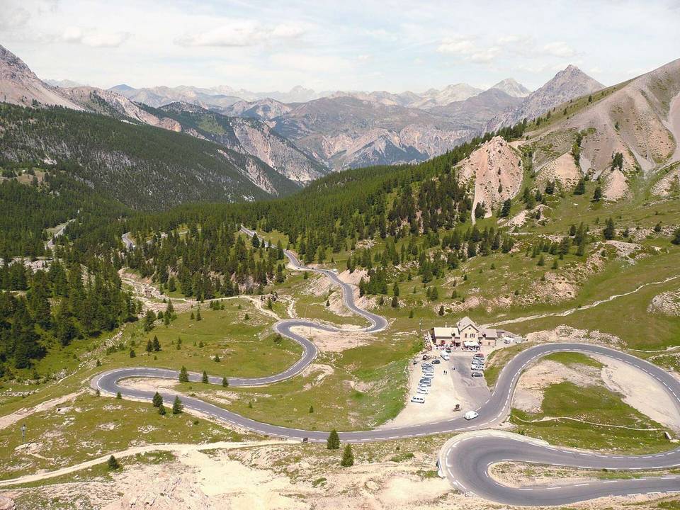
2 photographs from the road

Photo: Lucas130999 · CC BY-SA 4.0 · Wikimedia Commons · Photo: Didier Descouens · CC BY-SA 4.0 · Wikimedia Commons