Cyclists.com

Col du Granon from Saint-Chaffrey

Saint-Chaffrey, FranceRoad

Routed from the map This classic road was traced on OpenStreetMap and measured against the terrain model; no member has recorded it yet. Ridden it? Add your recording and photos.

12 km
Distance
1,048 m
Elevation gain
Moderate
Difficulty
Paved
Surface

Elevation profile

Total ascent
1,048 m
Distance
12 km
Elevation (m)05001,0001,5002,0002,5000 km2.5 km5 km7.5 km10 km12 kmHighest point2,403 m at 12.2 kmStart0 kmFinish12 km

Route overview

This ride suits cyclists prepared for a steep, sustained climb of over 1000 m elevation gain in 12 km.

Col du Granon from Saint-Chaffrey is a 12.2 km point-to-point climb in France with 1048 m elevation gain.

Starting near Saint-Chaffrey, the route begins at 1355 m and climbs 11.8 km with an average gradient of 8.9%, reaching a height of 2403 m at the Col du Granon. The climb features sustained gradients with 11.3 km over 5% and 9.9 km over 8%, including 2.2 km exceeding 10% gradient. The road surface is mostly paved (95%) with a small section of gravel (5%). It is primarily on minor roads (88%) with some riding on a road with a cycle lane (6%). The longest stretch covers 9.8 km on the D 234t road. Along the route, there is a long section of 10.3 km from km 1.8 to 12.1 without a café, shop, or water stop. Services near the start include the Biocoop supermarket and the Chez Puy pub close to the route. Drinking water is available near km 0.9, and toilets near km 1.6 and at the summit. At the summit, there is the Buvette du Granon restaurant just off-route.

Highlights

  • 11.8 km climb to 2403 m
  • Average gradient 8.9% with max 11.2%
  • Longest named road D 234t for 9.8 km
  • Services at start and Buvette du Granon restaurant at finish

Along the route

Measured from the recorded track and OpenStreetMap.

Climbs

ClimbStarts atLengthGainAverageMaxTop
Saint-Chaffrey climb0.4 km11.8 km1045 m8.9 %11.2 %2403 m

High point 2403 m at 12.1 km; low point 1355 m.

Saint-Chaffrey climb · starts at 0.4 km

11.7 km at 8.9% · 1045 m
140016001800200022002400ELEVATION (M)8.5%8.6%9.1%9.4%10%11%9.7%8.6%9.2%8.2%0 km1234567891011.7 kmDISTANCE (KM)Saint-Chaffrey climb · 2,403 mSTEEPEST 10.6%
< 4%4 – 7%7 – 10%> 10%

What this ride is like

Measured from OpenStreetMap along the track and the elevation profile.

Roads
88% minor road · 6% road with cycle lane
Main roads used
D 234t (10 km)
Surface
Paved throughout
Gradient
98% climbing · 1% descending · 2% flat
Steep sections
11.3 km over 5% · 9.9 km over 8% · 2.2 km over 10%

Along the way

Within a few hundred metres of the track, from OpenStreetMap. Opening hours change — treat this as where to look, not a promise.

Food, water and shops

  1. 0 kmChez Puy · pub · 110 m off route
  2. 0 kmBiocoop · supermarket · 100 m off route
  3. 0.9 kmDrinking water · on the route
  4. 1.6 kmToilets · on the route
  5. 1.7 kmPharmacy Authosserre · pharmacy · 450 m off route
  6. 12.1 kmBuvette du Granon · restaurant · 40 m off route
  7. 12.1 kmToilets · on the route

Worth a stop

  • 0 kmPont levant de Saint-Chaffrey (attraction)

At the start

  • Biocoop · supermarket · 100 m
  • Chez Puy · pub · 110 m

At the finish

  • Buvette du Granon · restaurant · 50 m

Stay after this ride

  • La Ricelle · guest house · 3.1 km from the finish
  • Les Peyronilles · hotel · 3.4 km from the finish
  • Le Bois des Coqs · hotel · 3.5 km from the finish
  • Hôtel Plein Sud · hotel · 3.6 km from the finish
  • Hôtel La Balme Alphand · hotel · 3.6 km from the finish

Practical information

Surface
Paved
Route shape
Point to point
Riding time
52 min

Know before you go

  • 10.3 km without café, shop or water from km 1.8 to 12.1
  • 2.2 km with gradients over 10%
  • 5% gravel surface section

Routes are for inspiration. Roads, surfaces and conditions change — check locally and ride within your limits.

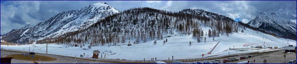
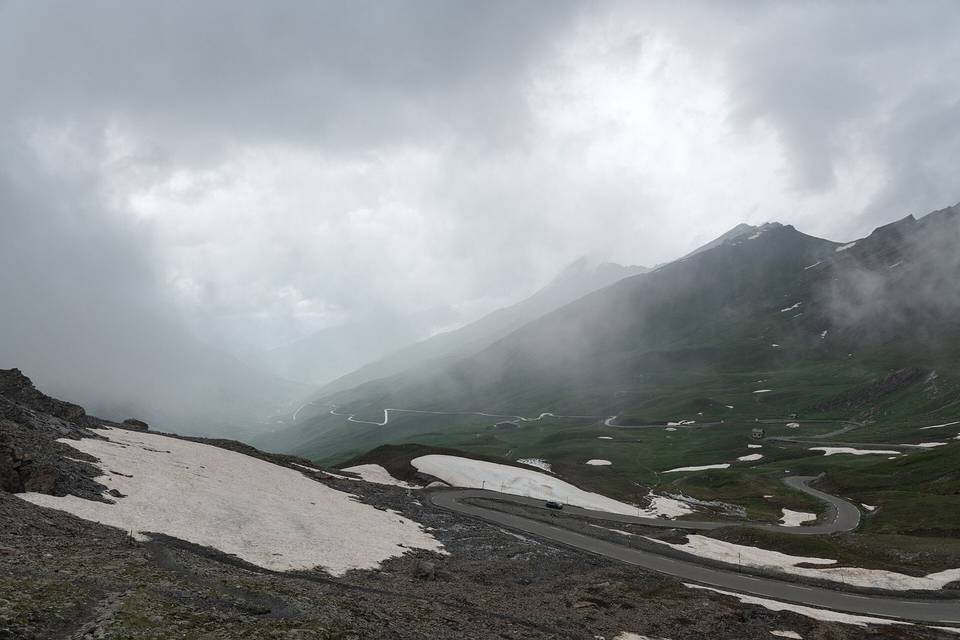
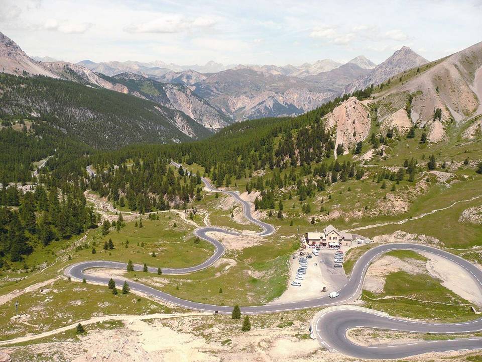
2 photographs from the road

Photo: Benj05 · CC BY-SA 3.0 · Wikimedia Commons · Photo: Fulvio Spada from Torino, Italy · CC BY-SA 2.0 · Wikimedia Commons