
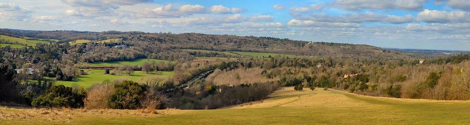
Road · United Kingdom
A hilly 71 km road cycling route from Dorking, England through Coldharbour, Box Hill Village and Ewell, with 633 m of climbing over Box Hill.
Starting in Dorking, the route heads through Coldharbour and Abinger before heading to Westhumble and Box Hill Village. The ride features three main climbs: the first begins near 1.7 km, 2.8 km long, gaining 146 m at an average 5.2%, reaching a top height of 238 m. The second climb starts at 13.6 km, 2.4 km long with 118 m gain averaging 4.9%. The third climb starts at 24.1 km, lasting 3.9 km, 163 m gain at 4.2% average. The highest point is at 9 km, 249 m elevation. The route then descends through Langley Vale, Epsom, and several south-west London suburbs, finishing near Paddington in central London.
| Climb | Starts at | On this ride | Full ascent | Top on this ride |
|---|---|---|---|---|
| Unnamed climb | 1.7 km | 2.8 km · 146 m · 5.2 % · max 11.5 % | — | 238 m |
| Unnamed climb | 13.6 km | 2.4 km · 118 m · 4.9 % · max 12.4 % | — | 226 m |
| Box Hill | 24.1 km | 3.9 km · 163 m · 4.2 % · max 6.9 % | 3.9 km · 163 m · 4.2 % | 207 m |
Mostly minor roads and streets on the map; 8.6 km is on main roads without a cycle lane.
No stretch is longer than 15 km without a café, shop or water. Along the route: 877 cafés and restaurants, 163 shops, 12 water points, 5 petrol stations, 23 public toilets and 119 bike shops.