
Road · United Kingdom
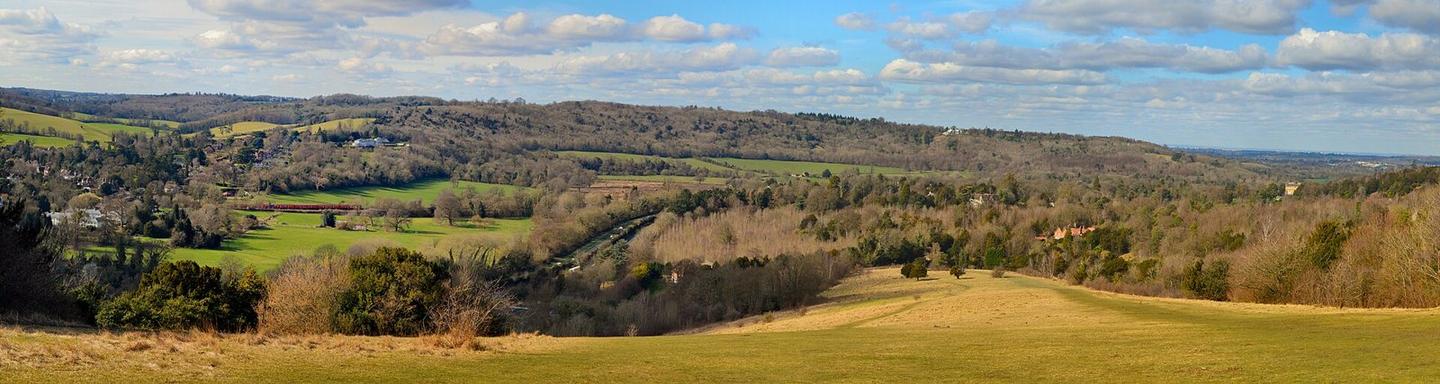
Box Hill, Surrey from Mickleham
A mountainous 2 km road cycling route from Mickleham, with 68 m of climbing.
At a glance
- Best for
- Short, climbing-heavy rides
- Distance
- 2.1 km
- Elevation gain
- 68 m
- Riding time
- 9 min
- Difficulty
- Easy
- Bike
- Road bike
- Surface
- Paved
- Best months
- May to Sep
- Navigation
- GPX download
- Start → finish
- Mickleham
Map and elevation profile
Elevation profile
- 68 m
- 2 km
Route description
Starting at Mickleham at 68 m elevation, the route climbs steadily for 2.1 km to a high point of 136 m near Flint Hill. The climb begins at 0.9 km lasting 1.2 km with an average gradient of 5.3% and a maximum of 6.6%. The surface is primarily gravel or unpaved (70%) with minor road (24%) and path (58%) segments. The route includes 60% climbing, 25% descending and 15% flat sections.
There are no cafes, shops or water along the whole route. A bailout station is at Box Hill & Westhumble station 0.4 km off-route by 1006 m. Juniper Hill peak lies 154 m off-route at 0.8 km. Nearby peaks include White Hill at 0.9 km, Lodge Hill at 2 km (165 m high), and Flint Hill at 2.1 km (190 m high).
Highlights
- Climb starting at 0.9 km with 5.3% average gradient
- Juniper Hill peak near route at 0.8 km
- Lodge Hill and Flint Hill nearby at 2 km and 2.1 km
Along the route
Climbs
| Climb | Starts at | On this ride | Top on this ride |
|---|---|---|---|
| Unnamed climb | 0.9 km | 1.2 km · 64 m · 5.3 % · max 6.6 % | 136 m |
Know before you go
- Longest stretch without café, shop or water: 2.1 km
- 70% gravel or unpaved surface
- 1006 m off-route to bailout station at 0.4 km