Cyclists.com

Around Dubai via MBR- Al Merkad

Dubai, Dubai, United Arab EmiratesRoad

46 km
Distance
0 m
Elevation gain
Easy
Difficulty
Paved
Surface
Download GPXMap
On the road: Around Dubai via MBR- Al Merkad

Elevation profile

Total ascent
0 m
Distance
46 km
020m0 km1020304045 km4 m · highest, at 26.7 kmStartFinish · back at the start

Route overview

Suitable for riders wanting a flat out-and-back route with minimal climbing over 45.5 km.

Flat 45.5 km out-and-back cycle route from Dubai through MBR- Al Merkad to Business Bay.

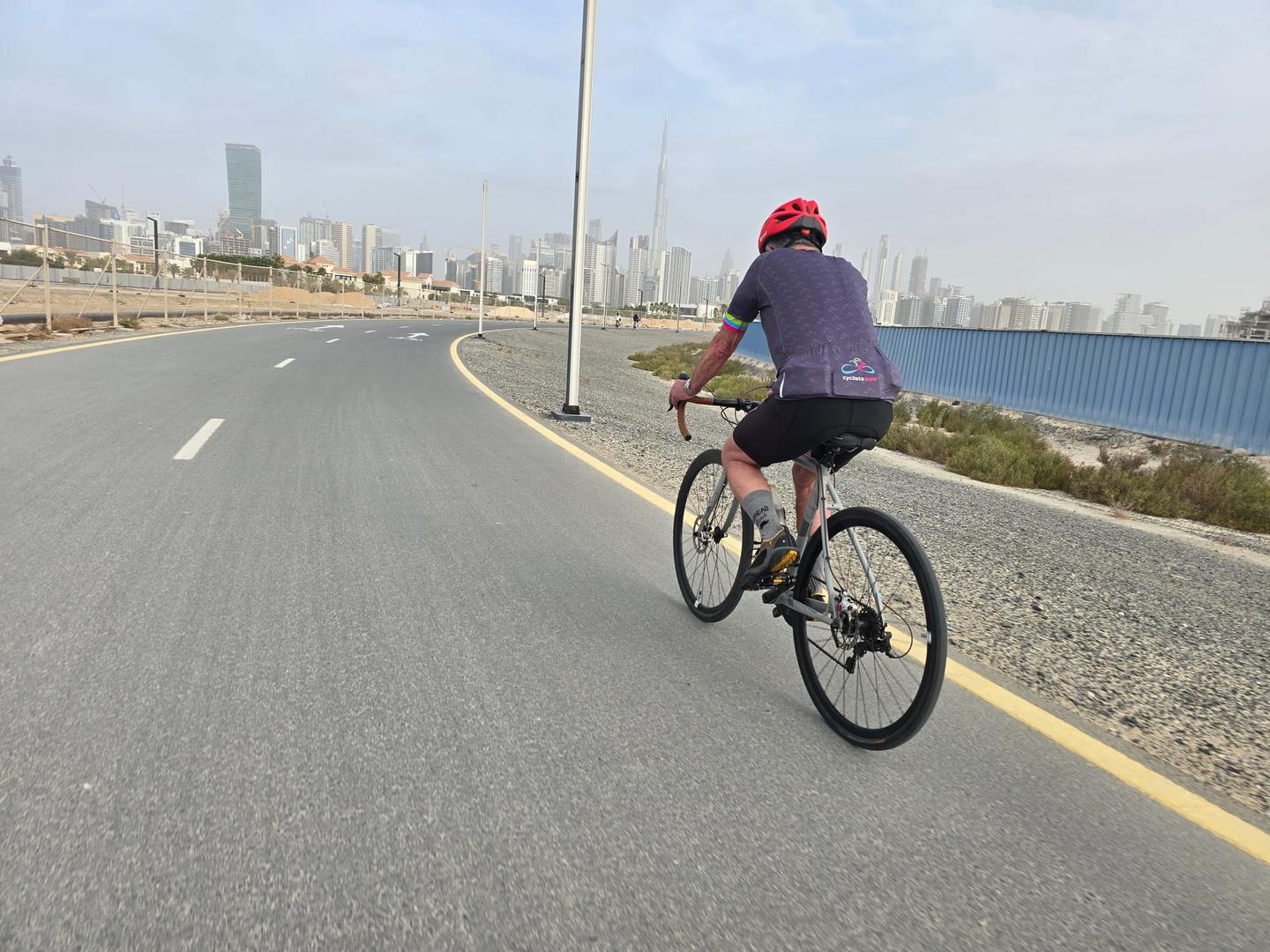
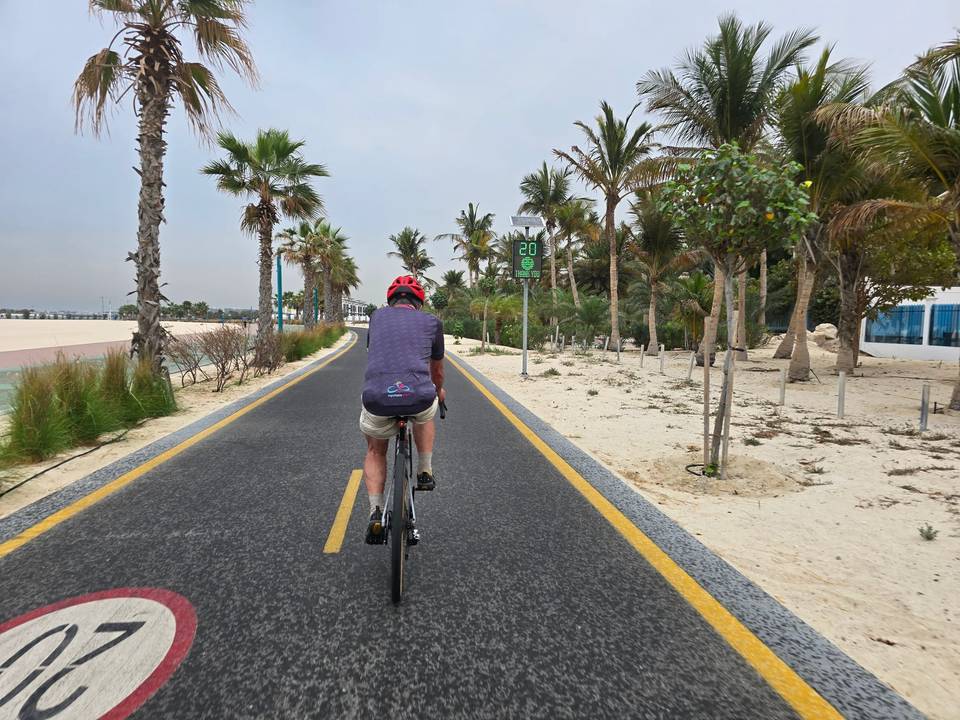
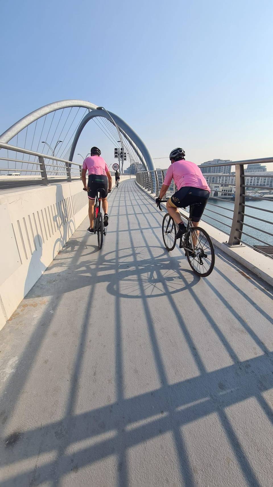
This route starts in Dubai and heads out to MBR- Al Merkad at 21 km, continuing on to Business Bay at 42.3 km before returning to the start. The profile is completely flat, with elevation varying between 1 m at 3.1 km and 4 m at 26.7 km. The route is primarily on paved surfaces with 90% paved and 10% unmapped areas, mostly along a cycle path. The Nad Al Sheba Cycling Track covers 38.2 km of the ride, providing a long stretch of designated cycle path. Almost the entire ride is on cycle paths (38.7 km) with 5.2 km on other paths and 1.1 km on quiet streets. There is a longest stretch without cafés, shops, or water of 17.5 km between 1.1 km and 18.6 km. Shops, supermarkets, cafés, and fast food are available near the start and finish areas, including a supermarket at 0.7 km and cafés around 1.1 km. Bailout options include two ferries at 32.9 km and 41.5 km. There is also a bike shop near the start and a bike rental at the finish. Toilets are available at 25.3 km. The route suits a flat ride with smooth surfaces and good cycle path coverage, ideal for those looking for a steady, level cycling experience.

Highlights

  • MBR- Al Merkad at 21 km
  • Business Bay at 42.3 km
  • Nad Al Sheba Cycling Track for 38.2 km
  • Elevation varies from 1 m to 4 m

Along the route

Measured from the recorded track and OpenStreetMap.

Places passed

  1. MBR- Al Merkad 21 km
  2. Business Bay 42.3 km

What this ride is like

Measured from OpenStreetMap along the track and the elevation profile.

Roads
85% cycle path · 11% path · 2% quiet street
Cycle paths
38.7 km on cycle paths or roads with a cycle lane
Main roads used
Nad Al Sheba Cycling Track (38 km)
Surface
Paved throughout
Gradient
0% climbing · 0% descending · 100% flat

Along the way

Within a few hundred metres of the track, from OpenStreetMap. Opening hours change — treat this as where to look, not a promise.

Longest stretch without a café, shop or water: 18 km, from 1 km to 19 km.

Food, water and shops

  1. 0.7 kmGrand Fresh · supermarket · 320 m off route
  2. 1.1 kmCaribou Coffee · café · 230 m off route
  3. 1.1 kmTriathlon Hub · bike shop · 230 m off route
  4. 18.6 kmFair Mart · supermarket · 270 m off route
  5. 18.7 kmCut in Half · fast food · 230 m off route
  6. 25.3 kmToilets · 250 m off route
  7. 34.6 kmallday · supermarket · 110 m off route
  8. 41.7 kmLife Pharmacy · pharmacy · 530 m off route
  9. 45.4 kmBike On · bike rental · 560 m off route

Need to bail out?

  • 32.9 kmMarasi MTS (ferry), 960 m off route
  • 41.5 kmAl Wajeha Al Maeyah MTS (ferry), 1.3 km off route

Whether bikes are carried depends on the service — check before relying on it.

At the start and finish

  • Fair Mart · supermarket · 560 m
  • The Bluez · fast food · 510 m
  • Cut in Half · fast food · 640 m
  • The Venue · café · 940 m
  • Grand Fresh · supermarket · 790 m

Practical information

Surface
Paved
Route shape
Out & back
Riding time
1½–2 hours riding
Season
February with temperatures around 21°C.
Best months
Dec to Feb — daily highs of 25–27 °C in those months

Know before you go

  • Longest stretch without café, shop or water for 17.5 km after 1.1 km

Routes are for inspiration. Roads, surfaces and conditions change — check locally and ride within your limits.

More rides from Dubai