Cyclists.com

Al Qudra to Jebel Hafeet

170 km road cycling route1,029 m climbing5½–8 hoursGPX

Dubai, United Arab Emirates · Road

A rolling 170 km road cycling route from Al Qudra to Jebel Hafeet through Mugatrah, Al 'Ajban and Sweihan, with 1,029 m of climbing over Jebel Hafeet. Most of it (148.6 km) is on main roads without a cycle lane, 124.3 km where the limit is 80 km/h or more. The first 144 km has no café, shop or water.

Route contributed by Marcus · Created from a ride on Saturday 3rd February 2024

Download GPXMap

At a glance

Best for
Long endurance days for confident riders at ease in traffic
Distance
170.2 km
Point to point
Elevation gain
1,029 m
6 m per km
Riding time
5½–8 hours
moving time, estimated
Difficulty
Hard
Bike
Road bike
from the mapped surface
Surface
Paved
98% paved · 0% unpaved · 1% no data
Traffic
Mostly main roads
148.6 km on main roads without a cycle lane · 124.3 km where the limit is 80 km/h or more
Food & water
Longest gap 144 km
13 cafés and restaurants · 3 shops · 1 water point · 1 petrol station · 3 public toilets · 2 bike shops
Best months
Dec to Feb
Dubai climate, 10 years
Navigation
GPX download
free, no sign-in
Start → finish
Al Qudra → Jebel Hafeet

Map and elevation profile

Elevation profile

Total ascent
1,029 m
Distance
170 km
02004006008001,000m0 km50100170 km957 m · highest, at 170.2 kmStartFinish

Route description

  1. Al Qudra
  2. Mugatrahkm 15
  3. Al 'Ajbankm 75
  4. Sweihankm 86
  5. Countrykm 146
  6. Ni'mahkm 155
  7. Jebel Hafeetkm 160
  8. Jabal Hafeetkm 166
  9. Jebel Hafeetkm 170

Starting from Al Qudra, the route passes through Mugatrah at 14.5 km, Al 'Ajban at 75.1 km, Sweihan at 86.3 km, Country at 145.7 km, and Ni'mah at 154.7 km before reaching Jabal Hafeet at 166.3 km. The profile is mostly flat with 94% flat terrain, with 6% climbing including a final climb starting at 160.1 km lasting 6.2 km, gaining 676 m at an average gradient of 11%, peaking at 956 m.

The surface is 98% paved, and the route mainly follows main roads (84%), including At Taf Road for 53 km. There are 148.6 km on main roads without cycle lanes and 124.3 km on roads with speed limits of 80 km/h or more. Food and drink options are limited for the first 144 km, with a restaurant and convenience store near the start and a few options including KFC and a café near the final climb.

Toilets and bike rental are available near the start; toilets and attractions are near the finish. The longest descent is 1.5 km from 108 km. There is no gravel or unpaved surface.

Why ride this route?

  • The longest of the 32 rides from Dubai.
  • Climbs Jebel Hafeet (9.5 km at 8.1 %).
  • Tops out at 956 m, 166.3 km in.

Highlights

  • Steep final climb to Jebel Hafeet: 6.2 km at 11% avg gradient
  • Passes through Mugatrah, Al 'Ajban, Sweihan, Ni'mah
  • Longest stretch without café or shop: 144.2 km from start
  • Route mainly on At Taf Road for 53 km

Along the route

Measured from the route line, the Copernicus elevation model and OpenStreetMap.

Places passed

  1. Mugatrah 14.5 km
  2. Al 'Ajban 75.1 km
  3. Sweihan 86.3 km
  4. Country 145.7 km
  5. Ni'mah 154.7 km
  6. Jabal Hafeet 166.3 km

Climbs

Climbs in ride order: where each starts, what this ride climbs, and the full named ascent
ClimbStarts atOn this rideFull ascentTop on this ride
Jebel Hafeet160.1 km6.2 km · 676 m · 11 % · max 23 %9.5 km · 766 m · 8.1 %956 m

High point 956 m at 166.3 km; low point 53 m.

On this ride: the part this route climbs, cut from its own elevation profile. Full ascent: the whole named climb, measured the same way on every ride that uses it (its climb page).

Jebel Hafeet · full ascent, starts at 160.1 km

9.5 km at 8.1% · 766 m
3004005006007008009001,000m10%12%14%10%8.3%3.5%7.0%0 km1234567899.6 km1,039 msteepest 13.6%
< 4%4 – 7%7 – 10%> 10%

Traffic, surface and gradient

Measured from OpenStreetMap along the track and the elevation profile.

This is not a cycle-track route: 87% is on main roads without a cycle lane, 124.3 km of it where the limit is 80 km/h or more. Riders should be comfortable sharing the road with faster traffic.

Roads
84% main road · 5% major road · 5% minor road · 3% other · 3% other roads and tracks
Main roads
148.6 km on main roads without a cycle lane — likely busier
Fast roads
124.3 km on roads with a limit of 80 km/h or more
Main roads used
At Taf Road (53 km), Ar Rawdah Road (20 km), Saih Al Salam Street (15 km), Al Faqa' Road (12 km)
Surface
Paved: 98% of the route is mapped as paved.
Gradient
6% climbing · 1% descending · 94% flat
Steep sections
6 km over 5% · 5.2 km over 8% · 3.8 km over 10% · steepest 500 m averages 12.4% at 166.7 km

Food, water and services

Within a few hundred metres of the track, from OpenStreetMap. Opening hours change — treat this as where to look, not a promise.

The longest stretch without a café, shop or water is 144 km, from the start. Along the route: 13 cafés and restaurants, 3 shops, 1 water point, 1 petrol station, 3 public toilets and 2 bike shops.
Food, water and shops in ride order

  1. 0 kmSpicy Village Restaurant · restaurant · 70 m off route
  2. 0 kmGeant at ADNOC · convenience store · 90 m off route
  3. 0 kmDrinking water · 200 m off route
  4. 0 kmToilets · 200 m off route
  5. 0 kmTrek · bike rental · 190 m off route
  6. 0 kmADNOC · petrol station · 110 m off route
  7. 0 kmAlqudra Ambulance Medical Centre · clinic · 150 m off route
  8. 85.8 kmDPSC Sweihan · clinic · 140 m off route
  9. 144.2 kmBar · 280 m off route
  10. 159.2 kmKFC · fast food · on the route
  11. 159.4 kmConvenience store · 400 m off route
  12. 165.5 kmLavazza · café · 140 m off route
  13. 165.8 kmToilets · 150 m off route

Worth a stop

  • 154.9 kmبيت عبدالرحمن (attraction)
  • 161.9 kmJabel Hafeet Parking (attraction)

Stay after this ride

  • Mercure Grand Jebel Hafeet · hotel · 350 m from the finish

Start and access

Starts at Al Qudra. Mapped within a short walk of the start and finish, from OpenStreetMap.

At the start

Bikes and repair
Trek (190 m), Careem (200 m)
Food and coffee
Spicy Village Restaurant (70 m)
Shops
Geant at ADNOC (90 m), Zad Foodstores (170 m)

At the finish

Food and coffee
Al Khayma (440 m), Le Belvedere (350 m), Lawrence's (360 m)

Know before you go

  • 144.2 km longest stretch with no café, shop, or water
  • 148.6 km on main roads without cycle lanes
  • 124.3 km on roads with 80 km/h+ speed limits

Routes are for inspiration. Roads, surfaces and conditions change — check locally and ride within your limits.

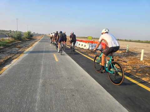
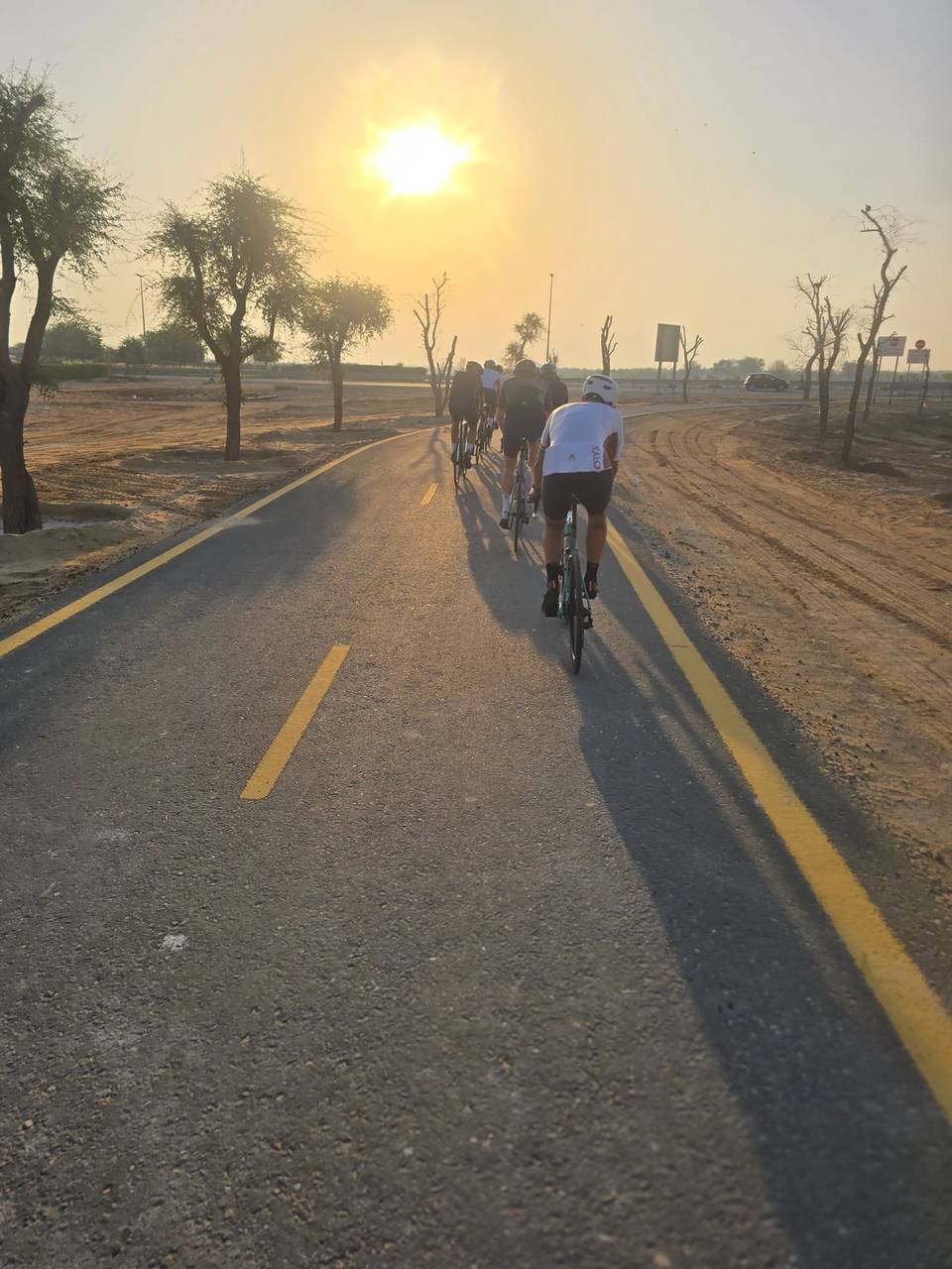
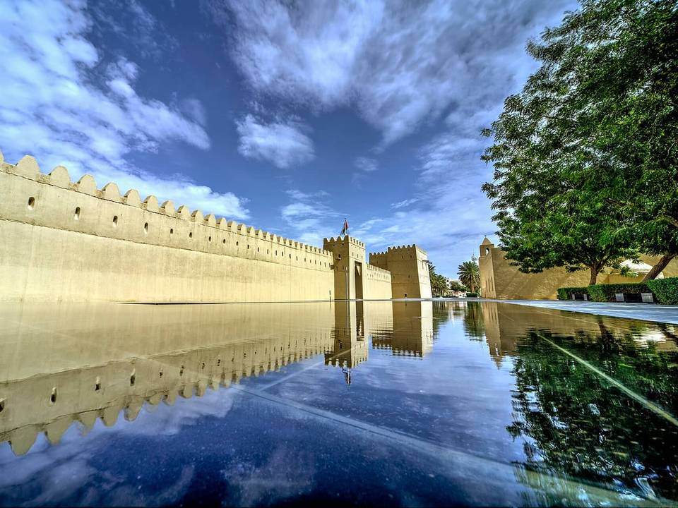
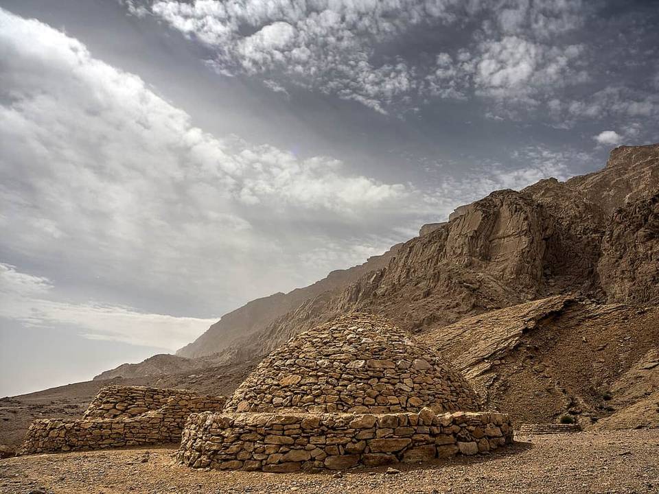
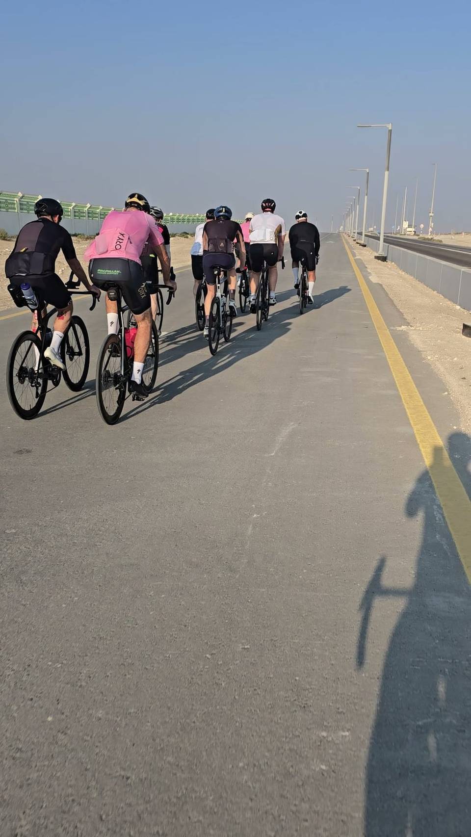
5 photographs from the road

About this route

Ridden by
Marcus
Date ridden
Route line
Built from a GPS recording of the ride.
Elevation
Recalculated from the Copernicus GLO-90 terrain model every 50 m, not the device’s barometer.
Roads, surface, services
Measured along the line from OpenStreetMap extracts.
Best months
Ten years of ERA5 weather for Dubai (Open-Meteo).
GPX
Generated from the route line: track points only, no timestamps or personal data.
Page added
Page last updated

See something wrong with this ride?

Also over Jebel Hafeet

Similar length from Dubai

Less climbing