Road · United Arab Emirates
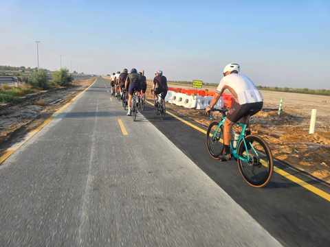
A flat 85 km road cycling loop from Bottom of the Stick through Mugatrah and Al Yalayis 3, with 106 m of climbing. 96% is on cycle paths or roads with a cycle lane. There is a 46 km stretch without a café, shop or water (km 19–65).
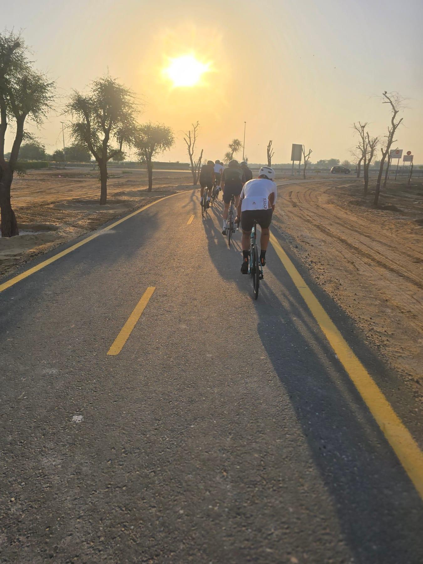
The Al Qudra Stick and Loop starts near Dubai, with the lowest point at 42 m around 0.9 km and the highest at 110 m by 26.5 km. The route is predominantly flat, with 98% flat terrain and just 0.1 km of climbing exceeding 10% gradient. The entire 84.5 km loop follows a mix of mainly cycle paths (81.2 km, 97%), quiet streets, main roads and minor roads making up the remainder.
Riders stay mostly on paved surfaces (99%). The three longest named roads cover most of the ride: Al Qudra Cycle Path Routes 4 and 1, and Link 1 with 35.2, 34.6 and 11 km respectively. There is 1 km on main roads without a cycle lane. The path includes a steepest 500 m section located at the start.
Along the way, the route passes through Mugatrah at 50.3 km and Al Yalayis 3 by 79.1 km. There are convenient stops at 18.8 km including shops, toilets, bike rentals, petrol stations, and drinking water. Beyond 18.8 to 64.9 km riders face a 46.1 km stretch with no cafés, shops or water. Further supplies and food come near 64.9 km with restaurants and convenience stores.
Much of the route is separated from traffic: 96% is on cycle paths or roads with a cycle lane.
The longest stretch without a café, shop or water is 46 km, from km 19 to 65. Along the route: 1 café or restaurant, 3 shops, 1 water point, 2 petrol stations, 1 public toilet and 2 bike shops.
Organised on Cyclists.com: one link, one live list.