Road · United Arab Emirates
Dubai City Loop via Deira and Al Shindagha
A flat 75 km road cycling loop from The Greens through Al Sufouh 1, Al Safa 1 and Zabeel, with 11 m of climbing.
9 photographs from the road
At a glance
- Best for
- Flat, steady riding
- Distance
- 74.5 km
- Elevation gain
- 11 m
- Riding time
- 3–4 hours
- Difficulty
- Moderate
- Bike
- Road bike
- Surface
- Paved
- Traffic
- Some main roads
- Food & water
- Regular
- Best months
- Dec to Feb
- Navigation
- GPX download
- Start and finish
- The Greens
Map and elevation profile
Elevation profile
- 11 m
- 75 km
Route description
- The Greens
- Al Sufouh 1
- Al Safa 1
- Zabeel
- Umm Hurair
- Naif
- Al Souq Al Kabeer
- Al Mankhool
- Jumeirah
- The Greens
This 74.5 km loop ride starts at Al Thanyah 3 and passes through many districts including Al Sufouh, Umm Suqeim, Al Safa, Business Bay, and Deira before looping back to the start. The route reaches its highest point of 10 m at 25.3 km and remains flat throughout with no climbing. About 88% of the surface is paved, with the remainder unmapped. A variety of road types are encountered: 24% on minor roads, 23% on main roads (17.7 km of main roads lack cycle lanes), 17% on quiet streets, 16% on cycle paths, and others include paths and pedestrian roads.
Highlights
- Passes Burj Khalifa at 23.4 km
- Jumeira Street ridden for 6.2 km
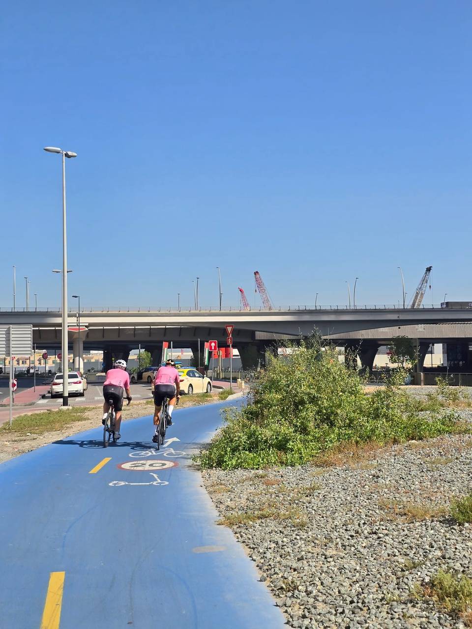
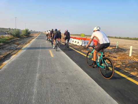
- Cycle paths cover 11.3 km
- Flat profile with max height 10 m
Along the route
Places passed
Traffic, surface and gradient
Expect stretches on main roads without a cycle lane (17.7 km in all) between quieter sections.
- Roads
- 24% minor road · 23% main road · 17% quiet street · 16% cycle path · 20% other roads and tracks
- Main roads
- 17.7 km on main roads without a cycle lane — likely busier
- Fast roads
- 1.4 km on roads with a limit of 80 km/h or more
- Cycle paths
- 11.3 km on cycle paths or roads with a cycle lane
- Main roads used
- Jumeira Street (6 km), Abdullah Omran Taryam Street (6 km), Marasi Drive (3 km)
- Surface
- Paved: 88% of the route is mapped as paved and 12% has no surface data.
- Gradient
- 0% climbing · 0% descending · 100% flat
Food, water and services
No stretch is longer than 15 km without a café, shop or water. Along the route: 674 cafés and restaurants, 166 shops, 5 water points, 12 petrol stations, 45 public toilets and 20 bike shops.
Food, water and shops in ride order
- 1.8 kmBoon Coffee Roasters · café · 50 m off route
- 8.3 kmEmarat · petrol station · 140 m off route
- 11 kmDrinking water · 40 m off route
- 13 kmToilets · 80 m off route
- 18.1 kmCareem Bike · bike rental · on the route
- 23.3 kmSupercare Pharmacy · pharmacy · 110 m off route
- 31 kmENOC · petrol station · 290 m off route
- 35.8 kmFomo Cafe · café · 40 m off route
- 39.1 kmDrinking water · 60 m off route
- 40.7 kmEmarat · petrol station · 110 m off route
- 43.9 kmDrinking water · 130 m off route
- 49.2 kmKulfi Chai · café · 90 m off route
- 51.3 kmSpinneys · supermarket · 90 m off route
- 53.4 kmThe Cycle Hub · bike shop · 150 m off route
- 59.8 kmWater tap · 30 m off route
- 60.1 kmToilets · on the route
- 63 kmAl Gazal Alajabali Grocery · supermarket · 60 m off route
- 68.9 kmMarina Pharmacy · pharmacy · 80 m off route
Need to bail out?
- 2 km — Dubai Internet City (station), 470 m off route
- 16.2 km — Jumeirah Marine Transport Station (ferry), 100 m off route
- 22.4 km — Dubai Design District MTS (ferry), 880 m off route
- 31.8 km — Dubai Healthcare City (station), 930 m off route
- 40.2 km — Dubai Old Souk - Abra dock (ferry), on the route
- 54.2 km — Jumeirah One Fishing Harbour (ferry), 290 m off route
- 70.5 km — Palm Gateway (station), 1.3 km off route
Worth a stop
- 2 km — ARN Arabian Radio Network (viewpoint)
- 6.1 km — Golden Horses (monument)
- 10 km — Umm Suqeim Night Swimming Beach (attraction)
- 13.8 km — Jumeirah Beach (attraction)
- 29 km — The palace of Sheikh Hamdan bin Rashid Al Maktoum (castle)
- 40.1 km — Hindu Temple (attraction)
Start and access
At the start and finish
- Food and coffee
- Caribou (320 m), 25- Degrees North (640 m), Nando's (450 m)
- Shops
- Asswaq (260 m), Bluemart Supermarket (630 m)
Know before you go
- 17.7 km on main roads without cycle lanes
- 1.4 km on roads with 80 km/h+ speed limit
- Longest stretch without café, shop, or water is 7 km from 23.8 to 30.8 km