
Cyclists.com

Al Qudra - Loop Plus Extension

82 km road cycling loop81 m climbing2½–3½ hoursGPX

Dubai, United Arab Emirates · Road

A flat 82 km road cycling loop from Al Qudra through Mugatrah, with 81 m of climbing. 97% is on cycle paths or roads with a cycle lane. The first 80 km has no café, shop or water.

Route contributed by Marcus and Richard Chapman · Last ridden Friday 31st January 2020

Download GPXMap

At a glance

Best for
Steady riding away from traffic
Distance
82.3 km
Loop
Elevation gain
81 m
1 m per km
Riding time
2½–3½ hours
moving time, estimated
Difficulty
Moderate
Bike
Road bike
from the mapped surface
Surface
Paved
98% paved · 0% unpaved · 2% no data
Traffic
Mostly cycle paths
79.7 km on cycle paths or lanes
Food & water
Longest gap 80 km
1 café or restaurant · 2 shops · 1 water point · 1 petrol station · 1 public toilet · 2 bike shops
Best months
Dec to Feb
Dubai climate, 10 years
Navigation
GPX download
free, no sign-in
Start and finish
Al Qudra

Map and elevation profile

Elevation profile

Total ascent
81 m
Distance
82 km
0255075100125m0 km20406082 km118 m · highest, at 11.9 kmStartFinish · back at the start

What it was like to ride

Route description

  1. Al Qudra
  2. Mugatrahkm 66
  3. Al Qudrakm 82

The Al Qudra 82 route is a loop starting and finishing near Dubai's facilities, including bike rental, restaurants, and convenience stores. The route is almost entirely on cycle paths, covering 97% of the distance on dedicated cycle paths like Al Qudra Cycle Path Routes 1, 2, and 3. The surface is predominantly paved at 98%, with a small unmapped section of about 2%.

The elevation profile is very flat, with only 98 m of climbing over 82 km. The highest point is at 117 m near 11.7 km, while the lowest is at 62 m near 58.1 km. The route is 98% flat, with minimal gradients exceeding 5%, and there is a longest descent of 1 km dropping 15 m starting at 35.5 km.

Facilities along the route include a convenience store and restaurant near the start at 1 km, and at the finish there are convenience stores, bike rentals, a medical centre, and water and toilets close to 81 km. No café, shop, or water is available for a continuous 80 km stretch from km 1 to km 81. There are no bail out points listed.

Why ride this route?

  • 97% on cycle paths or lanes.

Highlights

  • Al Qudra Cycle Path Route 1 for 37.1 km
  • Highest point at 117 m near 11.7 km
  • Long flat profile with only 98 m gain
  • Facilities at start and finish in Dubai

Along the route

Measured from the route line, the Copernicus elevation model and OpenStreetMap.

Places passed

  1. Mugatrah 66.3 km

Traffic, surface and gradient

Measured from OpenStreetMap along the track and the elevation profile.

Much of the route is separated from traffic: 97% is on cycle paths or roads with a cycle lane.

Roads
97% cycle path · 1% other roads and tracks · 2% unmapped
Cycle paths
79.7 km on cycle paths or roads with a cycle lane
Main roads used
Al Qudra Cycle Path Route 1 (37 km), Al Qudra Cycle Path Route 3 (25 km), Al Qudra Cycle Path Route 2 (14 km)
Surface
Paved: 98% of the route is mapped as paved and 2% has no surface data.
Gradient
0% climbing · 1% descending · 98% flat

Food, water and services

Within a few hundred metres of the track, from OpenStreetMap. Opening hours change — treat this as where to look, not a promise.

The longest stretch without a café, shop or water is 80 km, from the start. Along the route: 1 café or restaurant, 2 shops, 1 water point, 1 petrol station, 1 public toilet and 2 bike shops.
Food, water and shops in ride order

  1. 1 kmSpicy Village Restaurant · restaurant · 120 m off route
  2. 1 kmZad Foodstores · convenience store · on the route
  3. 1 kmCareem · bike rental · on the route
  4. 80.8 kmAlqudra Ambulance Medical Centre · clinic · 90 m off route
  5. 81 kmDrinking water · 50 m off route
  6. 81 kmToilets · 60 m off route
  7. 81 kmTrek · bike rental · 70 m off route
  8. 81 kmADNOC · petrol station · 90 m off route

Start and access

Starts and finishes at Al Qudra. Mapped within a short walk of the start, from OpenStreetMap.

At the start and finish

Bikes and repair
Trek (340 m), Careem (390 m)
Food and coffee
Spicy Village Restaurant (280 m)
Shops
Zad Foodstores (360 m), Geant at ADNOC (270 m)

Know before you go

  • No café, shop, or water for 80 km between km 1 and 81

Routes are for inspiration. Roads, surfaces and conditions change — check locally and ride within your limits.

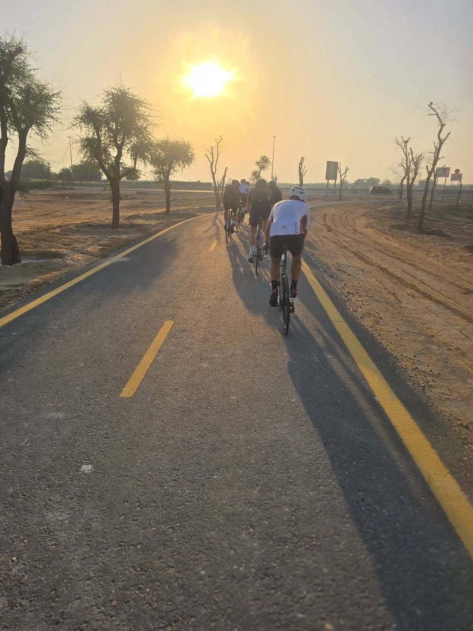
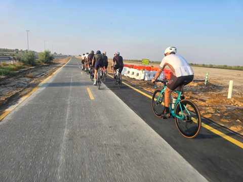
1 photograph from the road

About this route

Ridden by
Marcus and Richard Chapman
Dates ridden
to · 2 recordings
Route line
Built from 2 GPS recordings of the ride.
Elevation
Recalculated from the Copernicus GLO-90 terrain model every 50 m, not the device’s barometer.
Roads, surface, services
Measured along the line from OpenStreetMap extracts.
Best months
Ten years of ERA5 weather for Dubai (Open-Meteo).
GPX
Generated from the route line: track points only, no timestamps or personal data.
Page added
Page last updated

See something wrong with this ride?

Similar length from Dubai

More climbing